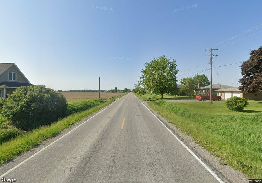
S Garfield Rd Auburn, MI 48611
Estimated Value: $67,000 - $190,000
Studio
--
Bath
--
Sq Ft
0.8
Acres
About This Home
This home is located at S Garfield Rd, Auburn, MI 48611 and is currently estimated at $128,500. S Garfield Rd is a home located in Bay County with nearby schools including Auburn Elementary School, Western Middle School, and Bay City Western High School.
Ownership History
Date
Name
Owned For
Owner Type
Purchase Details
Closed on
Jun 22, 2012
Sold by
Simmon Jason J
Bought by
Simmon Jason J and Simmon Daniel
Current Estimated Value
Home Financials for this Owner
Home Financials are based on the most recent Mortgage that was taken out on this home.
Original Mortgage
$65,000
Outstanding Balance
$44,835
Interest Rate
3.73%
Mortgage Type
Credit Line Revolving
Estimated Equity
$83,665
Purchase Details
Closed on
Apr 4, 2008
Sold by
Simmon Jason J
Bought by
Chrobak Stanley
Create a Home Valuation Report for This Property
The Home Valuation Report is an in-depth analysis detailing your home's value as well as a comparison with similar homes in the area
Home Values in the Area
Average Home Value in this Area
Purchase History
| Date | Buyer | Sale Price | Title Company |
|---|---|---|---|
| Simmon Jason J | -- | None Available | |
| Chrobak Stanley | $82,217 | None Available |
Source: Public Records
Mortgage History
| Date | Status | Borrower | Loan Amount |
|---|---|---|---|
| Open | Simmon Jason J | $65,000 |
Source: Public Records
Tax History
| Year | Tax Paid | Tax Assessment Tax Assessment Total Assessment is a certain percentage of the fair market value that is determined by local assessors to be the total taxable value of land and additions on the property. | Land | Improvement |
|---|---|---|---|---|
| 2025 | $530 | $29,400 | $0 | $0 |
| 2024 | $514 | $25,400 | $0 | $0 |
| 2023 | $490 | $24,100 | $0 | $0 |
| 2022 | $805 | $22,800 | $0 | $0 |
| 2021 | $757 | $22,150 | $6,900 | $15,250 |
| 2020 | $745 | $21,350 | $6,900 | $14,450 |
| 2019 | $648 | $20,100 | $0 | $0 |
| 2018 | $547 | $17,900 | $0 | $0 |
| 2017 | $543 | $18,600 | $0 | $0 |
| 2016 | $535 | $16,100 | $4,000 | $12,100 |
| 2015 | -- | $18,750 | $4,000 | $14,750 |
| 2014 | -- | $20,500 | $4,000 | $16,500 |
Source: Public Records
Map
Nearby Homes
- 0 W North Union Rd Unit 50166876
- 4760 Putt Ln
- 4648 Meadow Ct
- 710 W North Union Rd
- 1365 W North Union Rd
- 1415 W North Union Rd
- 319 Price St
- 201 Grant St
- 0 Court St
- Parcel D W North Union Rd
- Parcel E W North Union Rd
- Parcel G W North Union Rd
- Parcel H W North Union Rd
- Parcel I W North Union Rd
- Parcel F W North Union Rd
- 0 S Auburn Rd
- 1598 Fisherville Ct
- 1587 Fisherville Ct
- 203 Park Ave
- 1598 Dawn Marie Ct
- 4611 Garfield Rd
- 4600 N Garfield Rd
- 4637 N Garfield Rd
- 4637 Garfield Rd
- 4645 Garfield Rd
- 975 Kern St
- 4653 Garfield Rd
- 313 Maple St
- 317 Maple St
- 307 Maple St
- 4663 Garfield Rd
- 4671 Garfield Rd
- 312 Maple St
- 316 Maple St
- 301 Maple St
- 4677 Garfield Rd
- 308 Maple St
- 217 Maple St
- 304 Maple St
- 304 Maple St Unit 304 MAPLE
Your Personal Tour Guide
Ask me questions while you tour the home.