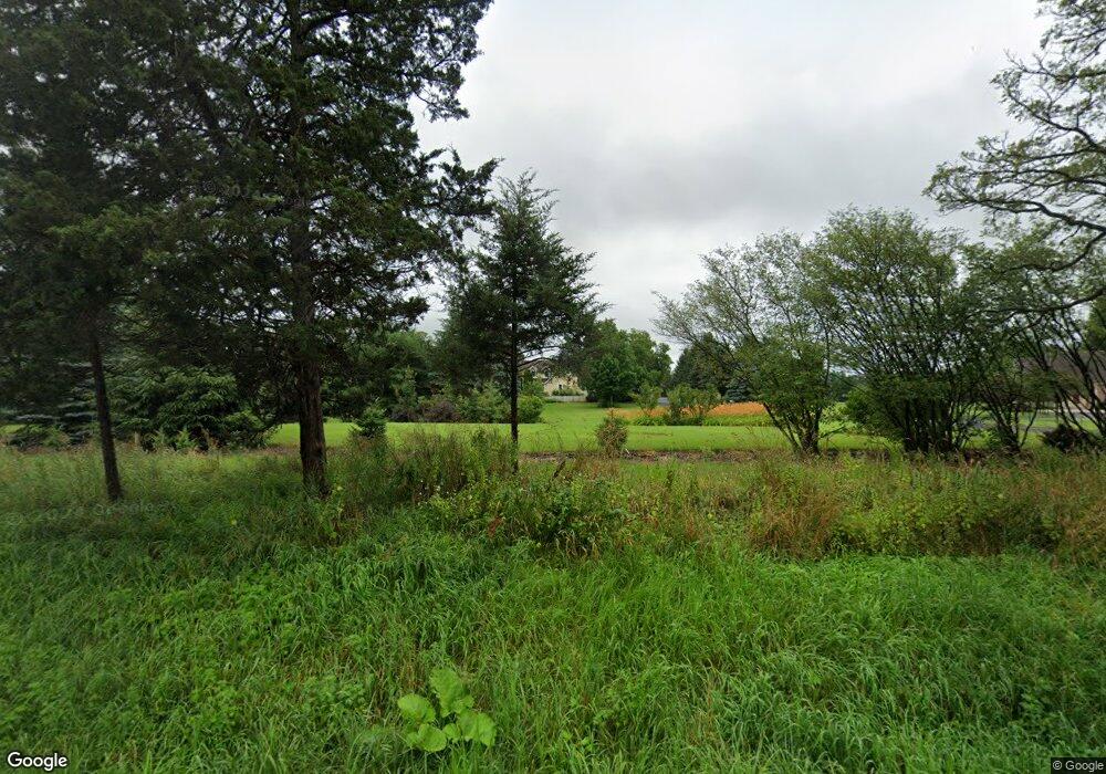
Estimated Value: $592,103 - $725,000
Studio
--
Bath
--
Sq Ft
5.22
Acres
About This Home
This home is located at S104W39283 County Road Nn, Eagle, WI 53119 and is currently estimated at $660,034. S104W39283 County Road Nn is a home with nearby schools including Palmyra-Eagle High School.
Ownership History
Date
Name
Owned For
Owner Type
Purchase Details
Closed on
Jun 25, 1997
Sold by
Orchard William R and Orchard Kathleen M
Bought by
Woods Timothy W and Woods Becky J
Current Estimated Value
Home Financials for this Owner
Home Financials are based on the most recent Mortgage that was taken out on this home.
Original Mortgage
$210,000
Outstanding Balance
$41,590
Interest Rate
8.01%
Estimated Equity
$618,444
Create a Home Valuation Report for This Property
The Home Valuation Report is an in-depth analysis detailing your home's value as well as a comparison with similar homes in the area
Home Values in the Area
Average Home Value in this Area
Purchase History
| Date | Buyer | Sale Price | Title Company |
|---|---|---|---|
| Woods Timothy W | $52,900 | -- |
Source: Public Records
Mortgage History
| Date | Status | Borrower | Loan Amount |
|---|---|---|---|
| Open | Woods Timothy W | $210,000 |
Source: Public Records
Tax History Compared to Growth
Tax History
| Year | Tax Paid | Tax Assessment Tax Assessment Total Assessment is a certain percentage of the fair market value that is determined by local assessors to be the total taxable value of land and additions on the property. | Land | Improvement |
|---|---|---|---|---|
| 2024 | $4,698 | $551,500 | $160,000 | $391,500 |
| 2023 | $4,499 | $384,200 | $118,500 | $265,700 |
| 2022 | $4,411 | $384,200 | $118,500 | $265,700 |
| 2021 | $4,243 | $384,200 | $118,500 | $265,700 |
| 2020 | $4,225 | $384,200 | $118,500 | $265,700 |
| 2019 | $4,646 | $359,500 | $108,000 | $251,500 |
| 2018 | $4,388 | $359,500 | $108,000 | $251,500 |
| 2017 | $4,342 | $359,500 | $108,000 | $251,500 |
| 2016 | $4,379 | $359,500 | $108,000 | $251,500 |
| 2015 | $4,410 | $359,500 | $108,000 | $251,500 |
| 2014 | $4,663 | $359,500 | $108,000 | $251,500 |
| 2013 | $4,663 | $359,500 | $108,000 | $251,500 |
Source: Public Records
Map
Nearby Homes
- N9523 Sunset Dr
- N9171 Nelson Rd
- Lt0 Wisconsin 67
- 542 Anton Ct
- 227 S 3rd St
- 214 Grove St
- 223 S Sherman St
- 213 N Fourth St
- Pcl3 Markham Rd
- N865 County Road H
- Pcl0 E Main St
- W1374 S Shore Dr
- W351S10308 Tuohy Rd
- W357 S8715 Chapman Ln
- N8838 County Road N -
- W349S10106 Bittersweet Ct
- S108W34703 Jacks Bay Rd
- S88W35412 Eagle Terrace
- Lt4 Jacob Ln
- Lt34 County Road J
- S105W39321 County Road Nn
- W391S10533 Meadow Ln
- W391S10575 Meadow Ln
- W391S10491 Meadow Ln
- W391S10541 Meadow Ln
- W391S10557 Meadow Ln
- W391S10607 Meadow Ln
- W390S10540 Meadow Ln
- W390S10496 Meadow Ln
- W390S10590 Meadow Ln
- S108W39360 Oregon Trail
- S108W39270 Oregon Trail
- S108W39780 Oregon Trail
- S108W39180 Oregon Trail
- S104W38905 County Road Nn
- S108W39060 State Road 67
- S108W39130 Oregon Trail
- S108W39570 Oregon Trail
- S108W39285 Oregon Trail
- S108W39890 Oregon Trail
