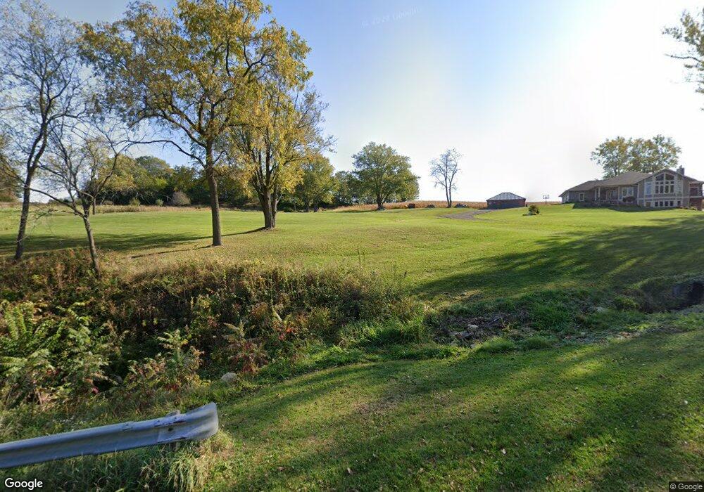
S10906 Wilson Creek Rd Spring Green, WI 53588
Estimated Value: $309,000 - $730,000
4
Beds
1
Bath
1,800
Sq Ft
$293/Sq Ft
Est. Value
About This Home
This home is located at S10906 Wilson Creek Rd, Spring Green, WI 53588 and is currently estimated at $527,667, approximately $293 per square foot. S10906 Wilson Creek Rd is a home located in Sauk County with nearby schools including River Valley High School.
Ownership History
Date
Name
Owned For
Owner Type
Purchase Details
Closed on
Apr 4, 2011
Sold by
Ruhland Marvin and Ruhland Kathy A
Bought by
Ruhland Marvin S and Ruhland Kathleen A
Current Estimated Value
Purchase Details
Closed on
Mar 12, 2009
Sold by
Us Bank National Assn
Bought by
Wipperfurth Anthony G
Home Financials for this Owner
Home Financials are based on the most recent Mortgage that was taken out on this home.
Original Mortgage
$565,352
Interest Rate
5.2%
Mortgage Type
Unknown
Purchase Details
Closed on
Aug 19, 2008
Sold by
Norland Phillip D
Bought by
Us Bank Na
Create a Home Valuation Report for This Property
The Home Valuation Report is an in-depth analysis detailing your home's value as well as a comparison with similar homes in the area
Home Values in the Area
Average Home Value in this Area
Purchase History
| Date | Buyer | Sale Price | Title Company |
|---|---|---|---|
| Ruhland Marvin S | -- | None Available | |
| Wipperfurth Anthony G | $57,000 | None Available | |
| Us Bank Na | -- | None Available |
Source: Public Records
Mortgage History
| Date | Status | Borrower | Loan Amount |
|---|---|---|---|
| Previous Owner | Wipperfurth Anthony G | $565,352 |
Source: Public Records
Tax History Compared to Growth
Tax History
| Year | Tax Paid | Tax Assessment Tax Assessment Total Assessment is a certain percentage of the fair market value that is determined by local assessors to be the total taxable value of land and additions on the property. | Land | Improvement |
|---|---|---|---|---|
| 2024 | $3,678 | $403,100 | $61,900 | $341,200 |
| 2023 | $3,555 | $403,100 | $61,900 | $341,200 |
| 2022 | $6,462 | $403,100 | $61,900 | $341,200 |
| 2021 | $6,505 | $403,100 | $61,900 | $341,200 |
| 2020 | $6,242 | $322,000 | $57,800 | $264,200 |
| 2019 | $6,250 | $322,000 | $57,800 | $264,200 |
| 2018 | $6,149 | $322,000 | $57,800 | $264,200 |
| 2017 | $6,195 | $322,000 | $57,800 | $264,200 |
| 2016 | $6,505 | $322,000 | $57,800 | $264,200 |
| 2015 | $6,115 | $314,200 | $57,800 | $256,400 |
| 2014 | -- | $57,800 | $57,800 | $0 |
Source: Public Records
Map
Nearby Homes
- S10970 Butternut Rd
- S10284 Dead End Rd
- L14 Wildwood Dr
- 1875 Crestwood Dr
- 1545 Honey Creek Dr
- 985 Fairway Cir
- 1175 Cherry St
- 1180 Clover St
- 1155 Nachreiner Ave
- 1120 Cedar St
- E7498 Mill Rd
- 4.84 Acres Neuheisel Rd
- L10 Prairie Dr
- L45 & L46 Sunrise Dr
- Lot 13 Woodbury Dr
- 400 Mourning Dove Ct
- L16 Sunrise Dr
- L10 Sunrise Dr
- L37,38,40 Spring St
- L29 Spring St
- E10690 Wilson Creek Rd
- S10968 Wilson Creek Rd
- S11021 Wilson Creek Rd
- S11055 Butternut Rd
- 99999 Wilson Creek Rd
- S10683 Butternut Rd
- S10690 Wilson Creek Rd
- S11115 Butternut Rd
- S10695 Wilson Creek Rd
- 6.6ac Butternut Rd
- S10629 Wilson Creek Rd
- S11229 Wilson Creek Rd
- S11227 Butternut Rd
- S11145 Jay Ln
- S11124 Butternut Rd