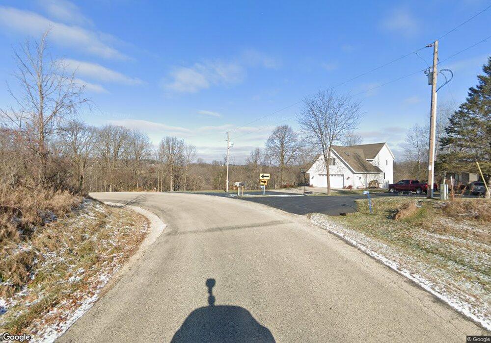
S1318 W Redstone Dr La Valle, WI 53941
Estimated Value: $554,000 - $636,000
--
Bed
--
Bath
--
Sq Ft
1.23
Acres
About This Home
This home is located at S1318 W Redstone Dr, La Valle, WI 53941 and is currently estimated at $604,667. S1318 W Redstone Dr is a home located in Sauk County with nearby schools including Webb Middle School, Reedsburg Area High School, and Carr Valley Amish School.
Ownership History
Date
Name
Owned For
Owner Type
Purchase Details
Closed on
Jun 13, 2014
Sold by
Niebuhr Kenneth T and Niebuhr Viivan E
Bought by
Metcalf Rebecca L and Rebecca L Metcalf Living Trust
Current Estimated Value
Home Financials for this Owner
Home Financials are based on the most recent Mortgage that was taken out on this home.
Original Mortgage
$220,000
Outstanding Balance
$167,839
Interest Rate
4.28%
Mortgage Type
New Conventional
Estimated Equity
$436,828
Purchase Details
Closed on
Apr 24, 2012
Sold by
Niebuhr Vivian E and Niebuhr Kenneth T
Bought by
Niebuhr Kenneth T and Niebuhr Vivian E
Purchase Details
Closed on
Mar 19, 2012
Sold by
Niebuhr Vivian E and Niebuhr Kenneth T
Bought by
Niebuhr Kenneth T and Niebuhr Vivian E
Create a Home Valuation Report for This Property
The Home Valuation Report is an in-depth analysis detailing your home's value as well as a comparison with similar homes in the area
Home Values in the Area
Average Home Value in this Area
Purchase History
| Date | Buyer | Sale Price | Title Company |
|---|---|---|---|
| Metcalf Rebecca L | $275,000 | None Available | |
| Niebuhr Kenneth T | $500,000 | None Available | |
| Niebuhr Kenneth T | -- | -- |
Source: Public Records
Mortgage History
| Date | Status | Borrower | Loan Amount |
|---|---|---|---|
| Open | Metcalf Rebecca L | $220,000 |
Source: Public Records
Tax History Compared to Growth
Tax History
| Year | Tax Paid | Tax Assessment Tax Assessment Total Assessment is a certain percentage of the fair market value that is determined by local assessors to be the total taxable value of land and additions on the property. | Land | Improvement |
|---|---|---|---|---|
| 2024 | $5,549 | $269,800 | $136,700 | $133,100 |
| 2023 | $5,301 | $269,800 | $136,700 | $133,100 |
| 2022 | $5,255 | $269,800 | $136,700 | $133,100 |
| 2021 | $4,539 | $269,800 | $136,700 | $133,100 |
| 2020 | $4,589 | $269,800 | $136,700 | $133,100 |
| 2019 | $4,719 | $269,800 | $136,700 | $133,100 |
| 2018 | $4,430 | $269,800 | $136,700 | $133,100 |
| 2017 | $4,039 | $270,100 | $140,500 | $129,600 |
| 2016 | $3,949 | $270,100 | $140,500 | $129,600 |
| 2015 | $4,165 | $270,100 | $140,500 | $129,600 |
| 2014 | $4,463 | $270,100 | $140,500 | $129,600 |
Source: Public Records
Map
Nearby Homes
- Lot 43 Ottawa Ct
- S1312 Brandt Rd
- E4368 W Redstone Dr
- S1281 Cardinal Ct
- Lt 32 Goldfinch W Redstone Dr
- 61.16 AC W Redstone Dr
- 7.77 Acres W Redstone Dr
- Lot 9 Swallow E Redstone Dr
- L46 Bunting E Redstone Dr
- L13 Heron E Redstone Dr
- E4756 E Redstone Dr
- L48 Bunting E Redstone Dr
- Lt 28 E Redstone Dr
- E4599 Kingfisher Cir
- S1063 Wisconsin 58
- S810A Goldfinch Ct
- Lot 3 Pheasant Ct
- 3.67 AC Section 11 Rd
- 120 W North St
- L15 Mockingbird Whippoorwill Ct
- S1318B W Redstone Dr
- S1306 W Redstone Dr
- S1326 W Redstone Dr
- L39 Catbird Ottawa Ct
- L45 Ottawa Ct
- L33 Ottawa Ct
- L66 Ottawa Ct
- L41 Ottawa Ct
- L39 Ottawa Ct
- L76 Ottawa Ct
- L40 Ottawa Ct
- L80 Ottawa Ct
- L46 Ottawa Ct
- L43 Ottawa Ct
- L37 Ottawa Ct
- L38 Ottawa Ct
- L36 Ottawa Ct
- L72 Ottawa Ct
- E4271 Ottawa Ct
- S1332 W Redstone Dr