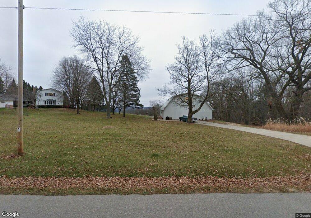
S1330 Brandt Rd La Valle, WI 53941
Estimated Value: $410,000 - $581,000
--
Bed
--
Bath
--
Sq Ft
5.67
Acres
About This Home
This home is located at S1330 Brandt Rd, La Valle, WI 53941 and is currently estimated at $521,129. S1330 Brandt Rd is a home located in Sauk County with nearby schools including Webb Middle School, Reedsburg Area High School, and Carr Valley Amish School.
Ownership History
Date
Name
Owned For
Owner Type
Purchase Details
Closed on
Dec 23, 2021
Sold by
Asleson Donald V and Asleson Karen
Bought by
Reynolds Randy J and Reynolds Karen M
Current Estimated Value
Home Financials for this Owner
Home Financials are based on the most recent Mortgage that was taken out on this home.
Original Mortgage
$250,000
Outstanding Balance
$195,628
Interest Rate
2.39%
Mortgage Type
New Conventional
Estimated Equity
$325,501
Create a Home Valuation Report for This Property
The Home Valuation Report is an in-depth analysis detailing your home's value as well as a comparison with similar homes in the area
Home Values in the Area
Average Home Value in this Area
Purchase History
| Date | Buyer | Sale Price | Title Company |
|---|---|---|---|
| Reynolds Randy J | $425,000 | None Available |
Source: Public Records
Mortgage History
| Date | Status | Borrower | Loan Amount |
|---|---|---|---|
| Open | Reynolds Randy J | $250,000 |
Source: Public Records
Tax History Compared to Growth
Tax History
| Year | Tax Paid | Tax Assessment Tax Assessment Total Assessment is a certain percentage of the fair market value that is determined by local assessors to be the total taxable value of land and additions on the property. | Land | Improvement |
|---|---|---|---|---|
| 2024 | $5,474 | $304,100 | $35,000 | $269,100 |
| 2023 | $5,164 | $304,100 | $35,000 | $269,100 |
| 2022 | $5,134 | $304,100 | $35,000 | $269,100 |
| 2021 | $4,360 | $304,100 | $35,000 | $269,100 |
| 2020 | $4,512 | $304,100 | $35,000 | $269,100 |
| 2019 | $4,577 | $304,100 | $35,000 | $269,100 |
| 2018 | $4,776 | $304,100 | $35,000 | $269,100 |
| 2017 | $3,743 | $262,000 | $41,000 | $221,000 |
| 2016 | $3,651 | $262,000 | $41,000 | $221,000 |
| 2015 | $3,976 | $262,000 | $41,000 | $221,000 |
| 2014 | $4,266 | $262,000 | $41,000 | $221,000 |
Source: Public Records
Map
Nearby Homes
- S1312 Brandt Rd
- S1431 Coughlin Ct
- Lot 43 Ottawa Ct
- E4368 W Redstone Dr
- S1063 Wisconsin 58
- 61.16 AC W Redstone Dr
- 7.77 Acres W Redstone Dr
- Lt 32 Goldfinch W Redstone Dr
- S1281 Cardinal Ct
- 120 W North St
- E4599 Kingfisher Cir
- L13 Heron E Redstone Dr
- Lot 9 Swallow E Redstone Dr
- L48 Bunting E Redstone Dr
- L46 Bunting E Redstone Dr
- E4756 E Redstone Dr
- Lt 28 E Redstone Dr
- 3.67 AC Section 11 Rd
- L1095 Hunt Club Addn
- S810A Goldfinch Ct
- S1241 Brandt Rd
- S1231 Brandt Rd
- L8 Wren Pierce Rd
- E4105 Pierce Rd
- E3943 Douglas Rd
- Lot 4 Coughlin Ct
- S1466 Caughlin Ct
- E4101 Douglas Rd
- E4097 Douglas Rd
- S1431 Caughlin Ct
- Lot 1 Pierce Rd
- E4130 Pierce Rd
- E4220 Ottawa Ct
- S1171 Smith Rd
- L17 Wren Algonquin Ct
- E4206 Ottawa Ct
- E4135 Douglas Rd
- Lot 80 Ottawa Ct
- Lot 3 Coughlin Ct
- E4150 Pierce Rd