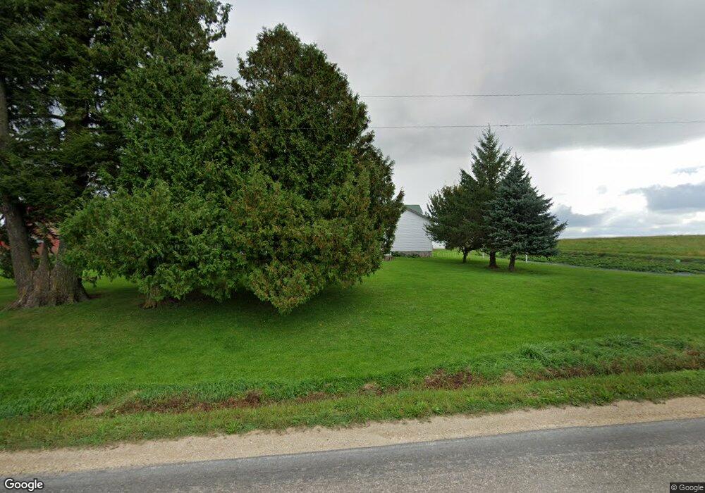
S1372 County Road D Cashton, WI 54619
Estimated Value: $179,000 - $233,000
--
Bed
--
Bath
--
Sq Ft
2.06
Acres
About This Home
This home is located at S1372 County Road D, Cashton, WI 54619 and is currently estimated at $207,877. S1372 County Road D is a home located in Vernon County with nearby schools including Westby High School and South Clinton School.
Ownership History
Date
Name
Owned For
Owner Type
Purchase Details
Closed on
Jun 29, 2015
Sold by
Borntreger Eli C and Borntreger Sylvia C
Bought by
Miller Marvin M P and Miller Laura A
Current Estimated Value
Home Financials for this Owner
Home Financials are based on the most recent Mortgage that was taken out on this home.
Original Mortgage
$77,120
Outstanding Balance
$60,049
Interest Rate
3.82%
Mortgage Type
Future Advance Clause Open End Mortgage
Estimated Equity
$147,828
Purchase Details
Closed on
Feb 3, 2006
Sold by
Miller Daniel C and Miller Katie R
Bought by
Bortreger Eli C and Bortreger Sylvia C
Home Financials for this Owner
Home Financials are based on the most recent Mortgage that was taken out on this home.
Original Mortgage
$32,000
Interest Rate
6.34%
Mortgage Type
Purchase Money Mortgage
Purchase Details
Closed on
Jan 25, 2005
Sold by
Miller Chrissie J and Miller Anna M
Bought by
Miller Daniel C and Miller Katie R
Create a Home Valuation Report for This Property
The Home Valuation Report is an in-depth analysis detailing your home's value as well as a comparison with similar homes in the area
Home Values in the Area
Average Home Value in this Area
Purchase History
| Date | Buyer | Sale Price | Title Company |
|---|---|---|---|
| Miller Marvin M P | $96,400 | None Available | |
| Bortreger Eli C | $65,000 | -- | |
| Miller Daniel C | $52,000 | -- |
Source: Public Records
Mortgage History
| Date | Status | Borrower | Loan Amount |
|---|---|---|---|
| Open | Miller Marvin M P | $77,120 | |
| Previous Owner | Bortreger Eli C | $32,000 |
Source: Public Records
Tax History Compared to Growth
Tax History
| Year | Tax Paid | Tax Assessment Tax Assessment Total Assessment is a certain percentage of the fair market value that is determined by local assessors to be the total taxable value of land and additions on the property. | Land | Improvement |
|---|---|---|---|---|
| 2024 | $1,670 | $141,800 | $29,400 | $112,400 |
| 2023 | $1,054 | $72,950 | $16,050 | $56,900 |
| 2022 | $941 | $63,250 | $16,050 | $47,200 |
| 2021 | $932 | $63,250 | $16,050 | $47,200 |
| 2020 | $902 | $56,850 | $16,050 | $40,800 |
| 2019 | $851 | $56,850 | $16,050 | $40,800 |
| 2018 | $826 | $56,850 | $16,050 | $40,800 |
| 2017 | $847 | $56,850 | $16,050 | $40,800 |
| 2016 | $875 | $56,850 | $16,050 | $40,800 |
| 2015 | $1,179 | $56,850 | $16,050 | $40,800 |
| 2014 | $1,031 | $56,850 | $16,050 | $40,800 |
| 2013 | -- | $56,850 | $16,050 | $40,800 |
Source: Public Records
Map
Nearby Homes
- E10540 E Salem Ridge Rd
- 332 Coe St
- 630 Albion St
- E11330 Allen Rd
- 920 Wisconsin St
- E8287 E Ridge Rd
- Lot 53 Stenslien Hills
- Lot 17 Stenslien Hills
- Lot 57 Stenslien Hills
- Lot 62 Stenslien Hills
- Lot 52 Stenslien Hills
- Lot 16 Stenslien Hills
- Lot 54 Stenslien Hills
- Lot 56 Stenslien Hills
- Lot 18 Stenslien Hills
- Lot 30 Stenslien Hills
- 313 Black River Ave
- 106 Monroe St
- 216 N Main St