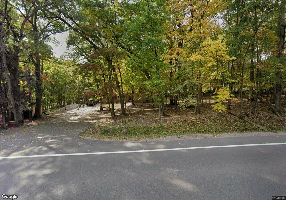
S1421 County Road A Baraboo, WI 53913
Estimated Value: $350,312 - $437,000
--
Bed
--
Bath
--
Sq Ft
1.38
Acres
About This Home
This home is located at S1421 County Road A, Baraboo, WI 53913 and is currently estimated at $401,828. S1421 County Road A is a home located in Sauk County with nearby schools including Wisconsin Dells High School and Trinity Lutheran School.
Ownership History
Date
Name
Owned For
Owner Type
Purchase Details
Closed on
Nov 13, 2020
Sold by
Oeftger Chad G and Oeftger Matthew W
Bought by
Litscher Jerry A and Cummings Patricia M
Current Estimated Value
Home Financials for this Owner
Home Financials are based on the most recent Mortgage that was taken out on this home.
Original Mortgage
$214,830
Outstanding Balance
$191,168
Interest Rate
2.8%
Mortgage Type
VA
Estimated Equity
$210,660
Purchase Details
Closed on
Feb 7, 2019
Sold by
Oeftger Wayne G and Oeftger Donna F
Bought by
Oeftger Chad G and Oeftger Matthew W
Purchase Details
Closed on
Dec 14, 2016
Sold by
Oeftger Wayne G
Bought by
Oeftger Chad G
Create a Home Valuation Report for This Property
The Home Valuation Report is an in-depth analysis detailing your home's value as well as a comparison with similar homes in the area
Home Values in the Area
Average Home Value in this Area
Purchase History
| Date | Buyer | Sale Price | Title Company |
|---|---|---|---|
| Litscher Jerry A | $210,000 | None Available | |
| Oeftger Chad G | -- | None Available | |
| Oeftger Chad G | -- | None Available | |
| Oeftger Chad G | $200,200 | -- |
Source: Public Records
Mortgage History
| Date | Status | Borrower | Loan Amount |
|---|---|---|---|
| Open | Litscher Jerry A | $214,830 |
Source: Public Records
Tax History Compared to Growth
Tax History
| Year | Tax Paid | Tax Assessment Tax Assessment Total Assessment is a certain percentage of the fair market value that is determined by local assessors to be the total taxable value of land and additions on the property. | Land | Improvement |
|---|---|---|---|---|
| 2024 | $3,342 | $305,400 | $62,600 | $242,800 |
| 2023 | $2,625 | $178,100 | $36,900 | $141,200 |
| 2022 | $2,611 | $178,100 | $36,900 | $141,200 |
| 2021 | $2,538 | $178,100 | $36,900 | $141,200 |
| 2020 | $2,701 | $178,100 | $36,900 | $141,200 |
| 2019 | $2,842 | $178,100 | $36,900 | $141,200 |
| 2018 | $2,760 | $178,100 | $36,900 | $141,200 |
| 2017 | $2,448 | $172,600 | $36,900 | $135,700 |
| 2016 | $2,887 | $183,700 | $16,600 | $167,100 |
| 2015 | $2,962 | $183,700 | $16,600 | $167,100 |
Source: Public Records
Map
Nearby Homes
- 12 Dakota Ridge Rd
- 9/10 Dakota Ridge Rd
- 31 Eagles Nest
- L27-29 Hillside
- 77 Morningside Rd
- L22 Hillside
- 68 Wild Turkey Rd
- 73 Morningside Rd
- 66 Wild Turkey Rd
- 61 Dakota Ridge Rd
- 56 Redhawk Trail
- 58 Redhawk Trail
- L23 Hillside Dr
- Lot 1 Hillside Dr
- 33B Grand Canyon Dr Unit 207
- 33A Grand Canyon Dr Unit 110
- 33A Grand Canyon Dr Unit 104
- 1184 Canyon Dr
- 1093 Canyon Rd Unit 508
- 1093 Canyon Rd Unit 303
- S1401 County Road A
- 20.33 Ac County Road A
- Lots County Road A
- S1461A County Road A
- 300 Ac County Road A Ringling Rd
- 370 County Road A S
- 370 County Road A S Unit A&B
- 370 County Road A S Unit B
- 370 County Road A S Unit A
- 3 Dakota Ridge Rd
- 17 Dakota Ridge Rd
- 20 Sugar Bowl Ln
- 19 Sugar Bowl Ln
- 18 Eagles Nest
- 6 Sugar Bowl Ln
- 89 Dakota Ridge Rd
- 33 Eagles Nest
- 33 Eagles Nest
- 33 Eagles Nest
- 33 Eagles Nest