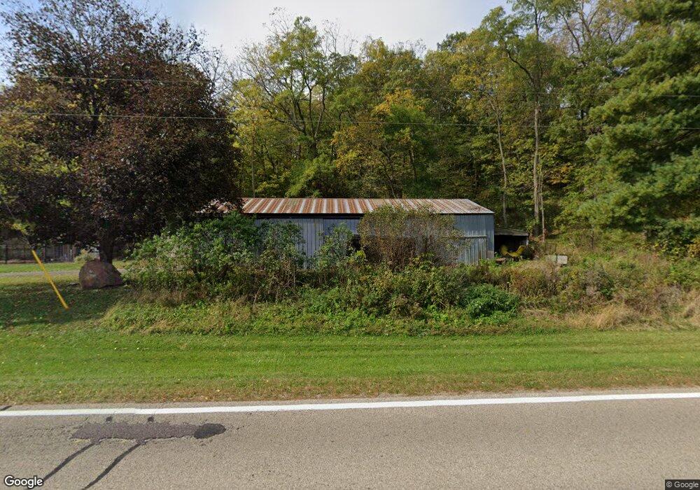
S1857 County Road T Baraboo, WI 53913
Estimated Value: $401,000 - $580,000
5
Beds
2
Baths
3,200
Sq Ft
$145/Sq Ft
Est. Value
About This Home
This home is located at S1857 County Road T, Baraboo, WI 53913 and is currently estimated at $464,575, approximately $145 per square foot. S1857 County Road T is a home located in Sauk County with nearby schools including Wisconsin Dells High School.
Ownership History
Date
Name
Owned For
Owner Type
Purchase Details
Closed on
Nov 30, 2016
Sold by
M3js Llc
Bought by
Tollaksen Christopher J
Current Estimated Value
Purchase Details
Closed on
Jun 8, 2016
Sold by
Looze Richard R
Bought by
M3js Llc
Home Financials for this Owner
Home Financials are based on the most recent Mortgage that was taken out on this home.
Original Mortgage
$182,000
Interest Rate
3.57%
Mortgage Type
Commercial
Create a Home Valuation Report for This Property
The Home Valuation Report is an in-depth analysis detailing your home's value as well as a comparison with similar homes in the area
Home Values in the Area
Average Home Value in this Area
Purchase History
| Date | Buyer | Sale Price | Title Company |
|---|---|---|---|
| Tollaksen Christopher J | $191,000 | -- | |
| M3js Llc | $180,900 | None Available |
Source: Public Records
Mortgage History
| Date | Status | Borrower | Loan Amount |
|---|---|---|---|
| Previous Owner | M3js Llc | $182,000 |
Source: Public Records
Tax History Compared to Growth
Tax History
| Year | Tax Paid | Tax Assessment Tax Assessment Total Assessment is a certain percentage of the fair market value that is determined by local assessors to be the total taxable value of land and additions on the property. | Land | Improvement |
|---|---|---|---|---|
| 2024 | $3,185 | $357,600 | $51,600 | $306,000 |
| 2023 | $2,778 | $181,500 | $19,800 | $161,700 |
| 2022 | $2,670 | $181,500 | $19,800 | $161,700 |
| 2021 | $2,575 | $181,500 | $19,800 | $161,700 |
| 2020 | $2,565 | $181,500 | $19,800 | $161,700 |
| 2019 | $2,570 | $181,500 | $19,800 | $161,700 |
| 2018 | $2,683 | $179,500 | $19,800 | $159,700 |
| 2017 | $2,548 | $179,500 | $19,800 | $159,700 |
| 2016 | $2,579 | $177,600 | $26,900 | $150,700 |
| 2015 | $2,519 | $177,600 | $26,900 | $150,700 |
| 2014 | $2,546 | $177,600 | $26,900 | $150,700 |
Source: Public Records
Map
Nearby Homes
- 1903 County Road A Unit 36
- S1903 County Road A Unit 65
- S1975 County Road A Unit L70
- S1974 County Highway A Acres
- S1974 County Road A
- 33B Grand Canyon Dr Unit 207
- 33A Grand Canyon Dr Unit 110
- 33A Grand Canyon Dr Unit 104
- L22 Hillside
- L27-29 Hillside
- 12 Dakota Ridge Rd
- 9/10 Dakota Ridge Rd
- 31 Eagles Nest
- 77 Morningside Rd
- 73 Morningside Rd
- 68 Wild Turkey Rd
- 66 Wild Turkey Rd
- 61 Dakota Ridge Rd
- 56 Redhawk Trail
- 58 Redhawk Trail
- S1857 County Road T
- S1783 County Road T
- E11488 Hillman Rd
- E11511 Hillman Rd
- E11520 Hillman Rd
- E11474 Hillman Rd
- E11452 Hillman Rd
- S1645 County Road T
- S1793 County Road A
- 0 Hillman Rd Unit 1516949
- 0 Hillman Rd Unit 1582028
- 0 Hillman Rd Unit 1582025
- 0 Hillman Rd Unit 1673477
- 0 Hillman Rd Unit 1654030
- S1571 County Road T
- S1782 County Road A
- S2010A County Road T
- S2010 County Road T
- S2010 County Road T
- S2010 County Road T