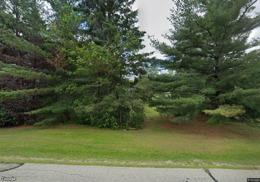
S21W35977 Parry Rd Oconomowoc, WI 53066
Estimated Value: $356,097 - $651,000
--
Bed
--
Bath
--
Sq Ft
3
Acres
About This Home
This home is located at S21W35977 Parry Rd, Oconomowoc, WI 53066 and is currently estimated at $550,699. S21W35977 Parry Rd is a home located in Waukesha County with nearby schools including Dousman Elementary School, Kettle Moraine Middle School, and Kettle Moraine High School.
Ownership History
Date
Name
Owned For
Owner Type
Purchase Details
Closed on
Jul 9, 2025
Sold by
Voss Brian G and Voss Anita M
Bought by
Brian G Voss And Anita M Voss Joint Irrevocab and Voss
Current Estimated Value
Purchase Details
Closed on
Jun 17, 2004
Sold by
Wallace Lowell R and Wallace Barbara A
Bought by
Voss Brian G and Voss Anita M
Home Financials for this Owner
Home Financials are based on the most recent Mortgage that was taken out on this home.
Original Mortgage
$180,000
Interest Rate
6.37%
Mortgage Type
Purchase Money Mortgage
Create a Home Valuation Report for This Property
The Home Valuation Report is an in-depth analysis detailing your home's value as well as a comparison with similar homes in the area
Home Values in the Area
Average Home Value in this Area
Purchase History
| Date | Buyer | Sale Price | Title Company |
|---|---|---|---|
| Brian G Voss And Anita M Voss Joint Irrevocab | -- | None Listed On Document | |
| Voss Brian G | $200,000 | Gatewood Title Services |
Source: Public Records
Mortgage History
| Date | Status | Borrower | Loan Amount |
|---|---|---|---|
| Previous Owner | Voss Brian G | $180,000 |
Source: Public Records
Tax History Compared to Growth
Tax History
| Year | Tax Paid | Tax Assessment Tax Assessment Total Assessment is a certain percentage of the fair market value that is determined by local assessors to be the total taxable value of land and additions on the property. | Land | Improvement |
|---|---|---|---|---|
| 2024 | $2,640 | $312,000 | $175,000 | $137,000 |
| 2023 | $2,462 | $302,000 | $165,000 | $137,000 |
| 2022 | $2,898 | $291,000 | $160,000 | $131,000 |
| 2021 | $2,824 | $244,000 | $135,000 | $109,000 |
| 2020 | $3,141 | $244,000 | $135,000 | $109,000 |
| 2019 | $2,952 | $244,000 | $135,000 | $109,000 |
| 2018 | $2,894 | $244,000 | $135,000 | $109,000 |
| 2017 | $2,928 | $244,000 | $135,000 | $109,000 |
| 2016 | $2,848 | $244,000 | $135,000 | $109,000 |
| 2015 | $2,860 | $244,000 | $135,000 | $109,000 |
| 2014 | $3,166 | $244,000 | $135,000 | $109,000 |
| 2013 | $3,166 | $244,000 | $135,000 | $109,000 |
Source: Public Records
Map
Nearby Homes
- W361S2389 Scuppernong Dr
- Lt1 E Ottawa Ave
- 148 Wolf Dr
- Lt8 Wolf Dr
- Lt7 Wolf Dr
- Lt6 Wolf Dr
- Lt5 Wolf Dr
- Lt4 Wolf Dr
- Lt2 Wolf Dr
- N62W35431 William Ct
- 144 Evergreen St
- Lt50 W Ingleside Ct
- Lt49 Ingleside Ct
- 109 Johnston Dr Unit 111
- Lt38 W Ingleside Ct
- S26W35135 Woodstream Ct
- 460 E Red Pine Cir
- Lt40 W Ingleside Ct
- Lt47 Ingleside Ct
- Lt42 W Ingleside Ct
- S21W35933 Parry Rd
- W358S2380 State Road 67
- W358S2398 State Road 67
- S21W35885 Parry Rd
- S22W36040 Country Meadow Ct
- S22W36041 Country Meadow Ct
- S22W36076 Country Meadow Ct
- S22W36075 Country Meadow Ct
- S21W35838 Parry Rd
- W360S2367 State Road 67
- S21W35875 Parry Rd
- S23W36071 Countryside Ln
- S22W36126 Country Meadow Ct
- S21W35808 Parry Rd
- S22W36127 Country Meadow Ct
- S22W36128 Countryside Ln
- W359S2326 State Road 67
- W359S2394 State Road 67
- W359S2390 State Road 67
- W359S2384 State Road 67
