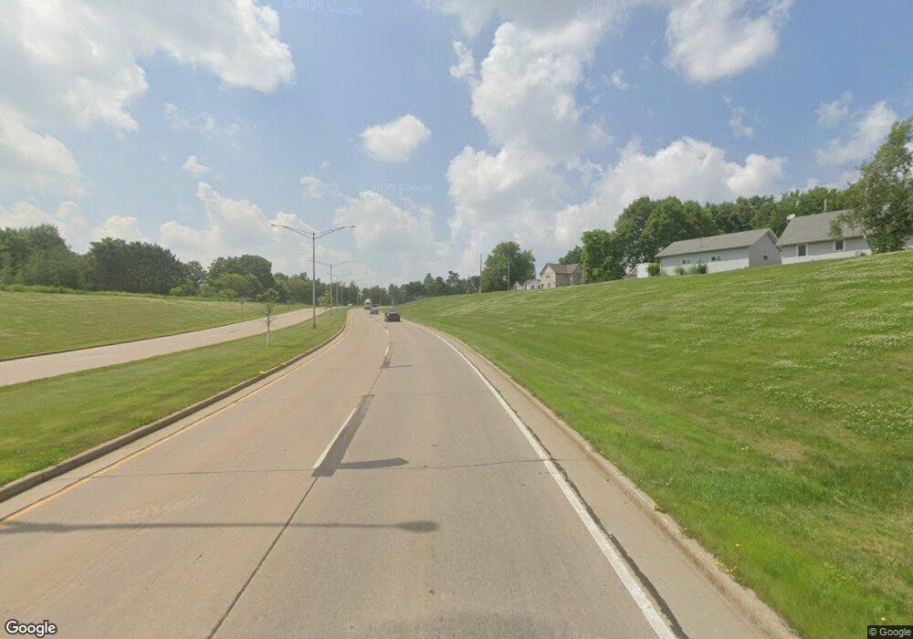
S2810 State Highway 13 Marshfield, WI 54449
Estimated Value: $186,000 - $441,000
--
Bed
--
Bath
--
Sq Ft
37.7
Acres
About This Home
This home is located at S2810 State Highway 13, Marshfield, WI 54449 and is currently estimated at $287,822. S2810 State Highway 13 is a home located in Marathon County with nearby schools including Spencer Elementary School, Spencer Middle/High School, and Marshfield Childrens House.
Ownership History
Date
Name
Owned For
Owner Type
Purchase Details
Closed on
Sep 12, 2013
Sold by
Forst Mary C
Bought by
Forst David
Current Estimated Value
Purchase Details
Closed on
Nov 11, 2009
Sold by
Forst Mary C
Bought by
Forst David
Home Financials for this Owner
Home Financials are based on the most recent Mortgage that was taken out on this home.
Original Mortgage
$33,000
Interest Rate
4.9%
Mortgage Type
Seller Take Back
Create a Home Valuation Report for This Property
The Home Valuation Report is an in-depth analysis detailing your home's value as well as a comparison with similar homes in the area
Home Values in the Area
Average Home Value in this Area
Purchase History
| Date | Buyer | Sale Price | Title Company |
|---|---|---|---|
| Forst David | -- | None Available | |
| Forst David | $66,000 | None Available |
Source: Public Records
Mortgage History
| Date | Status | Borrower | Loan Amount |
|---|---|---|---|
| Closed | Forst David | $33,000 |
Source: Public Records
Tax History Compared to Growth
Tax History
| Year | Tax Paid | Tax Assessment Tax Assessment Total Assessment is a certain percentage of the fair market value that is determined by local assessors to be the total taxable value of land and additions on the property. | Land | Improvement |
|---|---|---|---|---|
| 2024 | $2,060 | $147,100 | $27,200 | $119,900 |
| 2023 | $1,979 | $146,100 | $26,200 | $119,900 |
| 2022 | $1,832 | $87,300 | $16,600 | $70,700 |
| 2021 | $1,673 | $87,700 | $17,000 | $70,700 |
| 2020 | $1,856 | $87,700 | $17,000 | $70,700 |
| 2019 | $1,743 | $88,600 | $17,900 | $70,700 |
| 2018 | $1,568 | $88,600 | $17,900 | $70,700 |
| 2017 | $1,783 | $88,600 | $17,900 | $70,700 |
| 2016 | $1,752 | $88,600 | $17,900 | $70,700 |
| 2015 | $1,441 | $88,600 | $17,900 | $70,700 |
| 2014 | $1,547 | $88,600 | $17,900 | $70,700 |
Source: Public Records
Map
Nearby Homes
- 2909 W Mann St
- 200890 Robin Rd
- 1922 Pheasant Run Dr Unit 6B
- 1832 Pheasant Run Dr Unit 2B
- Lot 3 Saint Joseph Ave Unit CSM 1302
- Lot 1 Saint Joseph Ave
- 110985 Candlewood Ct
- 111133 Mann St
- 1006 N Columbus Ave
- 1601 Immanuel Ct
- Lot #1 Meadow Ave
- 1311 N Wood Ave
- 1511 N Broadway Ave
- 9850 County Road Y
- 900 Sawyer Dr
- 112019 Winterberry Cir
- 2112 W 3rd St
- 1200 W State St
- 1105 Onstad Dr
- 404 S Cypress Ave
- S2953 Lorene Dr
- S562 Woodridge Dr
- 203109 State Highway 13
- 202851 State Highway 13
- 203155 State Highway 13
- 203161 State Highway 13
- 106147 26th Rd
- 106535 26th Rd
- 203223 State Highway 13
- 203345 Bauer Dr
- 203345 Bauer Dr
- S401 E 26th Rd
- 106552 26th Rd
- S416 E 26th Rd
- S428 E 26th Rd
- S430 E 26th Rd
- S436 E 26th Rd
- 203501 Bauer Dr
- 203565 Bauer Dr
- 203565 Bauer Dr
