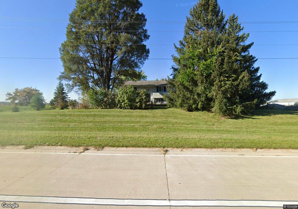
S54W30328 Kettle Ridge Ct Mukwonago, WI 53149
Estimated Value: $208,000 - $664,000
--
Bed
--
Bath
--
Sq Ft
14.8
Acres
About This Home
This home is located at S54W30328 Kettle Ridge Ct, Mukwonago, WI 53149 and is currently estimated at $504,996. S54W30328 Kettle Ridge Ct is a home located in Waukesha County with nearby schools including Magee Elementary School, Kettle Moraine Middle School, and Kettle Moraine High School.
Ownership History
Date
Name
Owned For
Owner Type
Purchase Details
Closed on
Jan 29, 2009
Sold by
Kettle Ridge Farms Llc
Bought by
Olson Ronald and Nolan Patricia M
Current Estimated Value
Home Financials for this Owner
Home Financials are based on the most recent Mortgage that was taken out on this home.
Original Mortgage
$244,000
Outstanding Balance
$154,155
Interest Rate
5.09%
Mortgage Type
Purchase Money Mortgage
Estimated Equity
$350,841
Purchase Details
Closed on
Oct 14, 2004
Sold by
Johns William E and Johns Patricia K
Bought by
Kc Kettle Ridge Farms Llc
Home Financials for this Owner
Home Financials are based on the most recent Mortgage that was taken out on this home.
Original Mortgage
$1,496,000
Interest Rate
5.89%
Mortgage Type
Purchase Money Mortgage
Purchase Details
Closed on
May 11, 1999
Sold by
Urban Jerome W and Urban Nancy J
Bought by
Johns William E and Johns Patricia K
Create a Home Valuation Report for This Property
The Home Valuation Report is an in-depth analysis detailing your home's value as well as a comparison with similar homes in the area
Home Values in the Area
Average Home Value in this Area
Purchase History
| Date | Buyer | Sale Price | Title Company |
|---|---|---|---|
| Olson Ronald | $305,000 | Southeastern Wi Title Co Llc | |
| Kc Kettle Ridge Farms Llc | -- | -- | |
| Kc Kettle Ridge Farms Llc | $1,075,000 | -- | |
| Johns William E | $195,000 | -- |
Source: Public Records
Mortgage History
| Date | Status | Borrower | Loan Amount |
|---|---|---|---|
| Open | Olson Ronald | $244,000 | |
| Previous Owner | Kc Kettle Ridge Farms Llc | $1,496,000 |
Source: Public Records
Tax History Compared to Growth
Tax History
| Year | Tax Paid | Tax Assessment Tax Assessment Total Assessment is a certain percentage of the fair market value that is determined by local assessors to be the total taxable value of land and additions on the property. | Land | Improvement |
|---|---|---|---|---|
| 2024 | $4,874 | $494,000 | $221,500 | $272,500 |
| 2023 | $4,453 | $483,000 | $210,500 | $272,500 |
| 2022 | $4,662 | $423,500 | $178,000 | $245,500 |
| 2021 | $4,400 | $313,000 | $84,000 | $229,000 |
| 2020 | $4,475 | $313,000 | $84,000 | $229,000 |
| 2019 | $4,220 | $313,000 | $84,000 | $229,000 |
| 2018 | $4,287 | $313,000 | $84,000 | $229,000 |
| 2017 | $4,153 | $313,000 | $84,000 | $229,000 |
| 2016 | $4,241 | $313,000 | $84,000 | $229,000 |
| 2015 | $4,236 | $313,000 | $84,000 | $229,000 |
| 2014 | $4,278 | $313,000 | $84,000 | $229,000 |
| 2013 | $4,278 | $313,000 | $84,000 | $229,000 |
Source: Public Records
Map
Nearby Homes
- S56W29680 Roanoke Dr
- S40W31356 Johns Way
- 508 Karin Dr
- W300S3280 Snowdon Dr
- Lt1 County Rd E
- W324S4055 Bartell Ct
- S30W29839 Sunset Dr
- LtD46 White Deer Trail
- 212 W State Rd
- W332S4375 Saddleback
- S75W32101 Paul Ln
- 3100 Engler Dr
- Lt1 Saylesville Rd
- 327 Wakefield Downs
- W330S7098 County Rd E
- S81W30467 Bailey
- W275S3617 Payne Stewart Ct
- W338S4370 Drumlin Dr
- S25W29201 Cambrian Ridge
- W309S8296 County Road I
- W302s5440 Springbrook Ct
- S54w30373 Kettle Ridge Ct
- S53W30224 Holiday Rd
- W303S5326 State Road 83
- W302S5440 Spring Brook Ct Unit W302S5440
- W302s5471 Spring Brook Ct
- S53W30193 Holiday Rd
- Lt3
- W303S5234 State Road 83
- S54w30287 Spring Brook Ct
- W307S4703 State Road 83
- W306S4838 State Road 83
- W306S4860 State Road 83
- W307S4699 State Road 83
- W307S4701 State Road 83
- W307S4697 State Road 83
- W307S4689 State Road 83
- S54w30275 Spring Brook Ct
- W302s5480 Spring Brook Ct
- W300S5417 Fryatt Ct