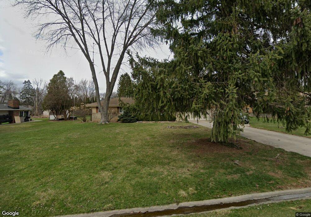
S67W12944 Larkspur Rd Muskego, WI 53150
Estimated Value: $394,446 - $408,000
3
Beds
2
Baths
1,122
Sq Ft
$356/Sq Ft
Est. Value
About This Home
This home is located at S67W12944 Larkspur Rd, Muskego, WI 53150 and is currently estimated at $399,362, approximately $355 per square foot. S67W12944 Larkspur Rd is a home located in Waukesha County with nearby schools including Bay Lane Elementary School, Lake Denoon Middle School, and Creative and Performing Arts.
Ownership History
Date
Name
Owned For
Owner Type
Purchase Details
Closed on
Mar 25, 2009
Sold by
Gural Phillip L and Gural Janet M
Bought by
Pjgf Transition Trust
Current Estimated Value
Purchase Details
Closed on
Feb 7, 2007
Sold by
Gural Phillip L and Gural Janet M
Bought by
The Phillip L & Janet M Gural Family Tr
Create a Home Valuation Report for This Property
The Home Valuation Report is an in-depth analysis detailing your home's value as well as a comparison with similar homes in the area
Home Values in the Area
Average Home Value in this Area
Purchase History
| Date | Buyer | Sale Price | Title Company |
|---|---|---|---|
| Pjgf Transition Trust | -- | None Available | |
| Gural Phillip L | -- | None Available | |
| The Phillip L & Janet M Gural Family Tr | -- | None Available |
Source: Public Records
Tax History Compared to Growth
Tax History
| Year | Tax Paid | Tax Assessment Tax Assessment Total Assessment is a certain percentage of the fair market value that is determined by local assessors to be the total taxable value of land and additions on the property. | Land | Improvement |
|---|---|---|---|---|
| 2024 | $3,081 | $274,300 | $72,900 | $201,400 |
| 2023 | $3,035 | $274,300 | $72,900 | $201,400 |
| 2022 | $2,969 | $274,300 | $72,900 | $201,400 |
| 2021 | $2,939 | $274,300 | $72,900 | $201,400 |
| 2020 | $3,019 | $220,800 | $63,800 | $157,000 |
| 2019 | $2,988 | $220,800 | $63,800 | $157,000 |
| 2018 | $3,025 | $220,800 | $63,800 | $157,000 |
| 2017 | $3,028 | $220,800 | $63,800 | $157,000 |
| 2016 | $3,050 | $198,000 | $61,200 | $136,800 |
| 2015 | $3,085 | $198,000 | $61,200 | $136,800 |
| 2014 | $3,358 | $198,000 | $61,200 | $136,800 |
| 2013 | $3,358 | $198,000 | $61,200 | $136,800 |
Source: Public Records
Map
Nearby Homes
- W137S6834 Dunstan Ct
- 6180 Preston Ln
- Lt8 Twin Silos Ct
- W140S6982 Twin Silos Ct
- Lt17 W Old Farm Rd
- 11931 W Janesville Rd
- S70W14872 Dartmouth Cir
- 11310 Haleco Ln
- 13615 W Deer Park Dr
- 5701 S 121st St
- W142S7571 Freedom Ave
- Lt10 Norbert Ct
- 11532 W Tess Creek St
- 11470 W Tess Creek St
- 7084 S Fieldstone Ct Unit 43
- 11216 Bridget Ln
- 11415 W Tess Creek St
- 6749 S Prairie Wood Ln
- 6741 S Prairie Wood Ln
- 11388 W Tess Creek St
- S67W12976 Larkspur Rd
- S67W12927 Larkspur Rd
- S67W12975 Larkspur Rd
- S67W12910 Larkspur Rd
- S67W13014 Larkspur Rd
- S66W12937 Somerset Dr
- S67W12874 Larkspur Rd
- S67W13015 Larkspur Rd
- S66W12901 Somerset Dr
- S66W13005 Somerset Dr
- S66W12975 Somerset Dr
- W129S6774 Camilla Dr
- S67W12859 Larkspur Rd
- S67W12826 Larkspur Rd
- S67W12884 Empress Ct
- S67W13048 Larkspur Rd
- S66W13047 Somerset Dr
- S67W12962 Camilla Dr
- S67W12819 Larkspur Rd
- S67W13043 Larkspur Rd