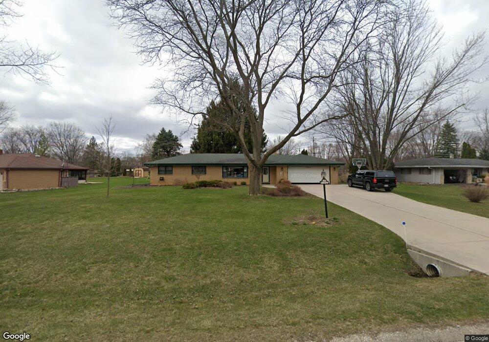
S68W12922 Bristlecone Ln Muskego, WI 53150
Estimated Value: $399,000 - $435,000
3
Beds
2
Baths
1,523
Sq Ft
$272/Sq Ft
Est. Value
About This Home
This home is located at S68W12922 Bristlecone Ln, Muskego, WI 53150 and is currently estimated at $414,730, approximately $272 per square foot. S68W12922 Bristlecone Ln is a home located in Waukesha County with nearby schools including Bay Lane Elementary School, Lake Denoon Middle School, and Creative and Performing Arts.
Ownership History
Date
Name
Owned For
Owner Type
Purchase Details
Closed on
Dec 5, 2002
Sold by
Howe Larry J
Bought by
Howe Larry J and Howe Debora A
Current Estimated Value
Home Financials for this Owner
Home Financials are based on the most recent Mortgage that was taken out on this home.
Original Mortgage
$72,000
Interest Rate
6.01%
Create a Home Valuation Report for This Property
The Home Valuation Report is an in-depth analysis detailing your home's value as well as a comparison with similar homes in the area
Home Values in the Area
Average Home Value in this Area
Purchase History
| Date | Buyer | Sale Price | Title Company |
|---|---|---|---|
| Howe Larry J | -- | -- |
Source: Public Records
Mortgage History
| Date | Status | Borrower | Loan Amount |
|---|---|---|---|
| Closed | Howe Larry J | $72,000 |
Source: Public Records
Tax History Compared to Growth
Tax History
| Year | Tax Paid | Tax Assessment Tax Assessment Total Assessment is a certain percentage of the fair market value that is determined by local assessors to be the total taxable value of land and additions on the property. | Land | Improvement |
|---|---|---|---|---|
| 2024 | $3,136 | $278,800 | $75,300 | $203,500 |
| 2023 | $3,089 | $278,800 | $75,300 | $203,500 |
| 2022 | $3,021 | $278,800 | $75,300 | $203,500 |
| 2021 | $2,991 | $278,800 | $75,300 | $203,500 |
| 2020 | $3,258 | $237,200 | $65,900 | $171,300 |
| 2019 | $3,227 | $237,200 | $65,900 | $171,300 |
| 2018 | $3,266 | $237,200 | $65,900 | $171,300 |
| 2017 | $3,266 | $237,200 | $65,900 | $171,300 |
| 2016 | $3,170 | $205,300 | $63,200 | $142,100 |
| 2015 | $3,205 | $205,300 | $63,200 | $142,100 |
| 2014 | $3,488 | $205,300 | $63,200 | $142,100 |
| 2013 | $3,488 | $205,300 | $63,200 | $142,100 |
Source: Public Records
Map
Nearby Homes
- W137S6834 Dunstan Ct
- Lt8 Twin Silos Ct
- W140S6982 Twin Silos Ct
- 6180 Preston Ln
- Lt17 W Old Farm Rd
- W142S7571 Freedom Ave
- 11931 W Janesville Rd
- S70W14872 Dartmouth Cir
- 11532 W Tess Creek St
- 11470 W Tess Creek St
- 11415 W Tess Creek St
- 11388 W Tess Creek St
- 7084 S Fieldstone Ct Unit 43
- 11458 W Balboa St
- 11310 Haleco Ln
- W145S7644 Durham Dr
- 6749 S Prairie Wood Ln
- 6741 S Prairie Wood Ln
- S73W15032 Cherrywood Dr
- 13615 W Deer Park Dr
- S68W12886 Bristlecone Ln
- S68W12950 Bristlecone Ln
- S68W12897 Bristlecone Ln
- S68W12867 Bristlecone Ln
- S68W12852 Bristlecone Ln
- S68W12939 Bristlecone Ln
- S68W12831 Bristlecone Ln
- S68W12986 Bristlecone Ln
- S68W12977 Camilla Dr
- S68W12949 Camilla Dr
- S68W13007 Camilla Dr
- W129S6916 MacLen Dr
- S68W12826 Bristlecone Ln
- S67W12869 Empress Ct
- S68W13026 Bristlecone Ln
- S69W12810 Woods Rd
- S68W13039 Camilla Dr
- S68W12775 Bristlecone Ln
- W129S6903 MacLen Dr
- S67W12931 Camilla Dr