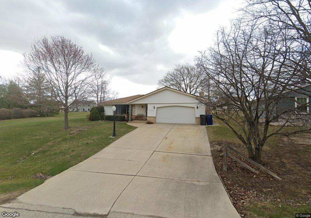
S69W14978 Dartmouth Cir Muskego, WI 53150
Estimated Value: $414,000 - $492,000
3
Beds
2
Baths
1,689
Sq Ft
$262/Sq Ft
Est. Value
About This Home
This home is located at S69W14978 Dartmouth Cir, Muskego, WI 53150 and is currently estimated at $443,037, approximately $262 per square foot. S69W14978 Dartmouth Cir is a home located in Waukesha County with nearby schools including Bay Lane Elementary School, Lake Denoon Middle School, and Muskego High School.
Ownership History
Date
Name
Owned For
Owner Type
Purchase Details
Closed on
May 18, 1999
Sold by
Thomas Germaine J
Bought by
Thomas Lester L and Thomas Mary B
Current Estimated Value
Home Financials for this Owner
Home Financials are based on the most recent Mortgage that was taken out on this home.
Original Mortgage
$114,000
Interest Rate
7.06%
Create a Home Valuation Report for This Property
The Home Valuation Report is an in-depth analysis detailing your home's value as well as a comparison with similar homes in the area
Home Values in the Area
Average Home Value in this Area
Purchase History
| Date | Buyer | Sale Price | Title Company |
|---|---|---|---|
| Thomas Lester L | $147,600 | -- |
Source: Public Records
Mortgage History
| Date | Status | Borrower | Loan Amount |
|---|---|---|---|
| Closed | Thomas Lester L | $114,000 |
Source: Public Records
Tax History Compared to Growth
Tax History
| Year | Tax Paid | Tax Assessment Tax Assessment Total Assessment is a certain percentage of the fair market value that is determined by local assessors to be the total taxable value of land and additions on the property. | Land | Improvement |
|---|---|---|---|---|
| 2024 | $3,444 | $304,400 | $58,400 | $246,000 |
| 2023 | $3,396 | $304,400 | $58,400 | $246,000 |
| 2022 | $3,547 | $304,400 | $58,400 | $246,000 |
| 2021 | $3,288 | $304,400 | $58,400 | $246,000 |
| 2020 | $3,253 | $236,900 | $51,100 | $185,800 |
| 2019 | $3,222 | $236,900 | $51,100 | $185,800 |
| 2018 | $3,262 | $236,900 | $51,100 | $185,800 |
| 2017 | $3,261 | $236,900 | $51,100 | $185,800 |
| 2016 | $3,281 | $212,100 | $48,400 | $163,700 |
| 2015 | $3,317 | $212,100 | $48,400 | $163,700 |
| 2014 | $3,610 | $212,100 | $48,400 | $163,700 |
| 2013 | $3,610 | $212,100 | $48,400 | $163,700 |
Source: Public Records
Map
Nearby Homes
- S70W14845 Dartmouth Cir
- S67W14570 Gaulke Ct
- Lt8 Twin Silos Ct
- W162S7043 Olive Cir Unit 22
- S68W13611 Hale Park Cir
- W145S7644 Durham Dr
- S66W16256 Chestnut Ridge Ct
- N51W19119 Quietwood Dr
- W163S7358 Bay Lane Dr
- Lt17 W Old Farm Rd
- Lt0 College Ave
- Lot 1 College Ave
- W169S7219 Avon Ct
- S75W16788 Jacob Ct Unit 12
- S63W13178 Windsor Rd
- 6180 Preston Ln
- W170S7361 Parkland Dr Unit 13
- W171S7452 Lannon Dr
- Lt10 Norbert Ct
- S73W17268 Lake Dr
- S69W14974 Dartmouth Cir
- S69W14962 Dartmouth Cir
- S70W14975 Dartmouth Cir
- S69W14928 Dartmouth Cir
- S69W14929 Dartmouth Cir
- S69W14934 Dartmouth Cir
- S70W14926 Dartmouth Cir
- S70W14963 Dartmouth Cir
- S70W14955 Dartmouth Cir
- S69W14895 Dartmouth Cir
- S69W15033 Cornell Cir
- S69W15031 Cornell Cir
- S69W14892 Dartmouth Cir
- S69W14875 Dartmouth Cir
- S69W15011 Cornell Cir
- S70W14898 Dartmouth Cir
- S70W14925 Dartmouth Cir
- W150S6999 Cornell Cir
- W150S6941 Cornell Cir Unit 6945
- S69W14981 Cornell Cir