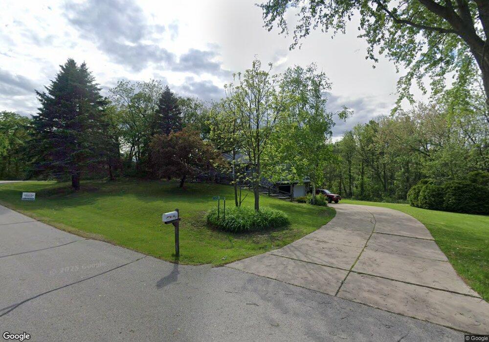
S72W30936 Kettle Ridge Dr Mukwonago, WI 53149
Estimated Value: $360,720 - $533,000
--
Bed
--
Bath
--
Sq Ft
1.01
Acres
About This Home
This home is located at S72W30936 Kettle Ridge Dr, Mukwonago, WI 53149 and is currently estimated at $429,430. S72W30936 Kettle Ridge Dr is a home located in Waukesha County with nearby schools including Section Elementary School, Park View Middle School, and Mukwonago High School.
Ownership History
Date
Name
Owned For
Owner Type
Purchase Details
Closed on
Jun 18, 2002
Sold by
Lasusa Lawrence C and Lasusa Debra E
Bought by
Lasusa Lawrence C
Current Estimated Value
Home Financials for this Owner
Home Financials are based on the most recent Mortgage that was taken out on this home.
Original Mortgage
$113,000
Interest Rate
6.8%
Create a Home Valuation Report for This Property
The Home Valuation Report is an in-depth analysis detailing your home's value as well as a comparison with similar homes in the area
Home Values in the Area
Average Home Value in this Area
Purchase History
| Date | Buyer | Sale Price | Title Company |
|---|---|---|---|
| Lasusa Lawrence C | -- | -- |
Source: Public Records
Mortgage History
| Date | Status | Borrower | Loan Amount |
|---|---|---|---|
| Closed | Lasusa Lawrence C | $113,000 |
Source: Public Records
Tax History Compared to Growth
Tax History
| Year | Tax Paid | Tax Assessment Tax Assessment Total Assessment is a certain percentage of the fair market value that is determined by local assessors to be the total taxable value of land and additions on the property. | Land | Improvement |
|---|---|---|---|---|
| 2024 | $2,947 | $320,000 | $100,300 | $219,700 |
| 2023 | $2,941 | $206,700 | $75,000 | $131,700 |
| 2022 | $2,902 | $206,700 | $75,000 | $131,700 |
| 2021 | $2,671 | $206,700 | $75,000 | $131,700 |
| 2020 | $2,672 | $206,700 | $75,000 | $131,700 |
| 2019 | $2,426 | $206,700 | $75,000 | $131,700 |
| 2018 | $2,525 | $206,700 | $75,000 | $131,700 |
| 2017 | $2,519 | $206,700 | $75,000 | $131,700 |
| 2016 | $2,564 | $206,700 | $75,000 | $131,700 |
| 2015 | $2,464 | $206,700 | $75,000 | $131,700 |
| 2014 | $2,734 | $206,700 | $75,000 | $131,700 |
| 2013 | $2,734 | $206,700 | $75,000 | $131,700 |
Source: Public Records
Map
Nearby Homes
- S81W30467 Bailey
- W309S8296 County Road I
- S75W32101 Paul Ln
- W312S8869 Cherokee Pass
- 508 Karin Dr
- 365 Woods Edge Dr
- Lt24 Woods Edge Dr
- Lt28 Woods Edge Dr
- Lt26 Woods Edge Dr
- Lt25 Woods Edge Dr
- W330S7098 County Rd E
- S87W29868 Leppin Ct
- S56W29680 Roanoke Dr
- 1575 Fairwinds Blvd
- 1625 Fairwinds Blvd
- 1564 Fairwinds Blvd
- 1584 Fairwinds Blvd
- 1624 Fairwinds Blvd
- 1534 Fairwinds Blvd
- 1547 Sandhill Ln Unit 2002
- S72W30950 Kettle Ridge Dr
- S72W30927 Kettle Ridge Dr
- S72W30966 Kettle Ridge Dr
- W309S7226 County Road I
- S72W30850 Kettle Ridge Dr
- S72W30843 Kettle Ridge Dr
- W309S7302 County Road I
- S72W30826 Kettle Ridge Dr
- W309S7200 County Road I
- S72W30804 Kettle Ridge Dr
- S72W30781 Kettle Ridge Dr
- S72W30751 Kettle Ridge Dr
- S72W30732 Kettle Ridge Dr
- W308S7156 County Road I
- W309S7430 County Road I
- S72W30700 Kettle Ridge Dr
- W308S7102 County Road I
- W310S7231 County Road I
- S74W31066 Florence Ct
- W310S7251 County Road I