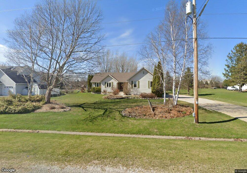
S73W14320 Woods Rd Muskego, WI 53150
Estimated Value: $469,313 - $510,000
3
Beds
2
Baths
1,644
Sq Ft
$298/Sq Ft
Est. Value
About This Home
This home is located at S73W14320 Woods Rd, Muskego, WI 53150 and is currently estimated at $489,328, approximately $297 per square foot. S73W14320 Woods Rd is a home located in Waukesha County with nearby schools including Bay Lane Elementary School, Lake Denoon Middle School, and Muskego High School.
Ownership History
Date
Name
Owned For
Owner Type
Purchase Details
Closed on
May 8, 1997
Sold by
Sablich John and Sablich Joni
Bought by
Degaetano Frank and Degaetano Janet
Current Estimated Value
Home Financials for this Owner
Home Financials are based on the most recent Mortgage that was taken out on this home.
Original Mortgage
$120,000
Interest Rate
8.24%
Create a Home Valuation Report for This Property
The Home Valuation Report is an in-depth analysis detailing your home's value as well as a comparison with similar homes in the area
Home Values in the Area
Average Home Value in this Area
Purchase History
| Date | Buyer | Sale Price | Title Company |
|---|---|---|---|
| Degaetano Frank | $169,900 | -- |
Source: Public Records
Mortgage History
| Date | Status | Borrower | Loan Amount |
|---|---|---|---|
| Closed | Degaetano Frank | $120,000 |
Source: Public Records
Tax History Compared to Growth
Tax History
| Year | Tax Paid | Tax Assessment Tax Assessment Total Assessment is a certain percentage of the fair market value that is determined by local assessors to be the total taxable value of land and additions on the property. | Land | Improvement |
|---|---|---|---|---|
| 2024 | $3,896 | $341,900 | $76,700 | $265,200 |
| 2023 | $3,845 | $341,900 | $76,700 | $265,200 |
| 2022 | $3,757 | $341,900 | $76,700 | $265,200 |
| 2021 | $3,723 | $341,900 | $76,700 | $265,200 |
| 2020 | $3,671 | $265,600 | $66,600 | $199,000 |
| 2019 | $3,640 | $265,600 | $66,600 | $199,000 |
| 2018 | $3,683 | $265,600 | $66,600 | $199,000 |
| 2017 | $3,678 | $265,600 | $66,600 | $199,000 |
| 2016 | $3,791 | $243,200 | $63,200 | $180,000 |
| 2015 | $3,829 | $243,200 | $63,200 | $180,000 |
| 2014 | $4,168 | $243,200 | $63,200 | $180,000 |
| 2013 | $4,168 | $243,200 | $63,200 | $180,000 |
Source: Public Records
Map
Nearby Homes
- W145S7644 Durham Dr
- S70W14845 Dartmouth Cir
- Lt8 Twin Silos Ct
- S70W14872 Dartmouth Cir
- S68W13611 Hale Park Cir
- N51W19119 Quietwood Dr
- S76W12788 Cambridge Ct E
- S76W12739 Cambridge Ct E
- W162S7043 Olive Cir Unit 22
- W163S7358 Bay Lane Dr
- S63W13178 Windsor Rd
- Lt17 W Old Farm Rd
- S66W16256 Chestnut Ridge Ct
- 6180 Preston Ln
- 13615 Kelton Ct
- S63W12878 Emerson Dr
- 7618 S North Cape Rd
- S75W16788 Jacob Ct Unit 12
- 6060 S Conservancy Dr
- W169S7219 Avon Ct
- S73W14350 Woods Rd
- S73W14270 Woods Rd
- S73W14327 Woods Rd
- S73W14275 Woods Rd
- S73W14373 Woods Rd
- S73W14253 Woods Rd
- S73W14454 Woods Rd
- S73W14210 Woods Rd
- S73W14236 Woods Rd
- S73W14393 Woods Rd
- S73W14225 Woods Rd
- S73W14433 Woods Rd
- S73W14185 Woods Rd
- S73W14202 Settler Way
- S73W14150 Woods Rd
- W144S7426 Indian Trail
- S73W14190 Settler Way
- S73W14455 Woods Rd
- S73W14520 Woods Rd
- S73W14163 Woods Rd