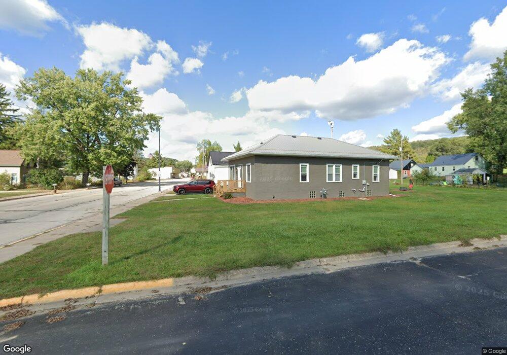
S7476 County Highway T Readstown, WI 54652
Estimated Value: $428,000 - $559,000
--
Bed
--
Bath
--
Sq Ft
35
Acres
About This Home
This home is located at S7476 County Highway T, Readstown, WI 54652 and is currently estimated at $479,170. S7476 County Highway T is a home located in Vernon County with nearby schools including Kickapoo Elementary School and Kickapoo High School.
Ownership History
Date
Name
Owned For
Owner Type
Purchase Details
Closed on
Sep 29, 2016
Sold by
Winder Troy M
Bought by
Vernon County
Current Estimated Value
Purchase Details
Closed on
Jul 3, 2014
Sold by
Alexander Darrel R and Alexander Kathleen A
Bought by
Widner Troy M
Home Financials for this Owner
Home Financials are based on the most recent Mortgage that was taken out on this home.
Original Mortgage
$213,750
Interest Rate
4.13%
Mortgage Type
New Conventional
Create a Home Valuation Report for This Property
The Home Valuation Report is an in-depth analysis detailing your home's value as well as a comparison with similar homes in the area
Home Values in the Area
Average Home Value in this Area
Purchase History
| Date | Buyer | Sale Price | Title Company |
|---|---|---|---|
| Vernon County | $1,025 | None Available | |
| Widner Troy M | $225,000 | None Available |
Source: Public Records
Mortgage History
| Date | Status | Borrower | Loan Amount |
|---|---|---|---|
| Previous Owner | Widner Troy M | $213,750 |
Source: Public Records
Tax History Compared to Growth
Tax History
| Year | Tax Paid | Tax Assessment Tax Assessment Total Assessment is a certain percentage of the fair market value that is determined by local assessors to be the total taxable value of land and additions on the property. | Land | Improvement |
|---|---|---|---|---|
| 2024 | $4,487 | $391,600 | $191,700 | $199,900 |
| 2023 | $3,747 | $183,900 | $89,000 | $94,900 |
| 2022 | $3,942 | $183,900 | $89,000 | $94,900 |
| 2021 | $3,357 | $183,900 | $89,000 | $94,900 |
| 2020 | $3,313 | $183,900 | $89,000 | $94,900 |
| 2019 | $1,883 | $109,500 | $14,600 | $94,900 |
| 2018 | $1,876 | $109,500 | $14,600 | $94,900 |
| 2017 | $1,989 | $109,500 | $14,600 | $94,900 |
| 2016 | $2,012 | $109,450 | $14,550 | $94,900 |
| 2015 | $2,409 | $109,500 | $14,600 | $94,900 |
| 2014 | $2,243 | $109,500 | $14,600 | $94,900 |
| 2013 | $2,469 | $109,500 | $14,600 | $94,900 |
Source: Public Records
Map
Nearby Homes
- 0 State Highway 14 County Rd T -
- 616 S 6th St
- 68.33 ac Highway 131 Acres
- Wisconsin 131
- 0 Stump Ridge Rd
- 220 Pine St
- 169.88± Acres Stump Ridge Rd
- S5848 Cowden Rd
- S5773 Reality Rd
- 6.69 Acres River Rd
- 12461 River Rd
- 17 ACRES +/- Sherry Ridge Rd
- 46748 Torgerson Rd
- 217 W Commercial St
- 414 N Washington St
- 416 N Washington St
- 111 N Commercial St
- 0 Turben Ridge Rd
- LOT 28 16th Fairway Dr
- 1215 16th Fairway Dr
- S7530 County Highway T
- E9390 Hickory Point Ln
- E9416 Hickory Point Ln
- S7569A Hickory Point Lane (Circle)
- S7561 Carter Ridge Rd
- S7599 Deer Point Rd
- S7582 Deer Point Rd
- s 7599 Deer Point Rd
- S7608 Deer Point Rd
- E9470 A Poplar Ln
- E9470 A Poplar Ln Unit E9470 A
- S7549 Carter Ridge Rd
- S7610 County Highway T
- Lot 11 Deer Point Rd
- S7531 Carter Ridge Rd
- S7553 Grim Ln
- S7538 Carter Ridge Rd
- S7645 Deer Point Rd
- S7407 Carter Ridge Rd