S7580 Prairie Rd Viroqua, WI 54665
Estimated Value: $172,150 - $453,000
--
Bed
--
Bath
--
Sq Ft
3
Acres
About This Home
This home is located at S7580 Prairie Rd, Viroqua, WI 54665 and is currently estimated at $267,717. S7580 Prairie Rd is a home with nearby schools including Viroqua Elementary School, Viroqua Middle School, and Viroqua High School.
Ownership History
Date
Name
Owned For
Owner Type
Purchase Details
Closed on
Dec 14, 2020
Sold by
Skildum Michael M and Skildum Melissa I
Bought by
Miller Samuel A
Current Estimated Value
Purchase Details
Closed on
Sep 23, 2009
Sold by
Skildum Michael M and Skildum Melissa I
Bought by
Slack Daniel
Home Financials for this Owner
Home Financials are based on the most recent Mortgage that was taken out on this home.
Original Mortgage
$2,500
Interest Rate
5.15%
Mortgage Type
Unknown
Purchase Details
Closed on
Jun 5, 2009
Sold by
Skildum Betty L
Bought by
Skildum Michael M and Skildum Melissa I
Create a Home Valuation Report for This Property
The Home Valuation Report is an in-depth analysis detailing your home's value as well as a comparison with similar homes in the area
Home Values in the Area
Average Home Value in this Area
Purchase History
| Date | Buyer | Sale Price | Title Company |
|---|---|---|---|
| Miller Samuel A | $5,000 | None Available | |
| Slack Daniel | $56,600 | -- | |
| Skildum Michael M | $76,000 | -- |
Source: Public Records
Mortgage History
| Date | Status | Borrower | Loan Amount |
|---|---|---|---|
| Previous Owner | Slack Daniel | $2,500 | |
| Previous Owner | Slack Daniel | $51,500 |
Source: Public Records
Tax History Compared to Growth
Tax History
| Year | Tax Paid | Tax Assessment Tax Assessment Total Assessment is a certain percentage of the fair market value that is determined by local assessors to be the total taxable value of land and additions on the property. | Land | Improvement |
|---|---|---|---|---|
| 2024 | $1,462 | $71,900 | $6,600 | $65,300 |
| 2023 | $1,318 | $71,900 | $6,600 | $65,300 |
| 2022 | $1,259 | $71,800 | $6,500 | $65,300 |
| 2021 | $116 | $6,500 | $6,500 | $0 |
| 2020 | $297 | $15,900 | $7,300 | $8,600 |
| 2019 | $278 | $15,700 | $7,100 | $8,600 |
| 2018 | $305 | $15,700 | $7,100 | $8,600 |
| 2017 | $292 | $15,700 | $7,100 | $8,600 |
| 2016 | $279 | $15,700 | $7,100 | $8,600 |
| 2015 | $372 | $15,700 | $7,100 | $8,600 |
| 2014 | $268 | $15,800 | $7,200 | $8,600 |
| 2013 | $295 | $16,100 | $7,500 | $8,600 |
Source: Public Records
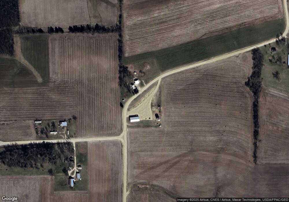
Map
Nearby Homes
- 6966 Johnson Ave
- S6966 Johnson Ave
- Tbd Weber Rd
- TBD Weber Rd
- S6205 Sidie Hollow Rd
- S5695 Nottingham Rd
- Lot 9 Woodland Rd
- 13486 Gurnsey Dr
- E2614 Bohland Hollow Rd
- 169.88± Acres Stump Ridge Rd
- 0 Stump Ridge Rd
- S6901 Geesa Rd
- E2817 S Creek Rd
- S6998 Missel Rd
- LOT 15 16th Fairway Dr
- LOT 13 W Point Cir
- 1215 16th Fairway Dr
- 1213 16th Fairway Dr
- LOT 42 Crossing Meadows Dr
- LOT 41 Crossing Meadows Dr