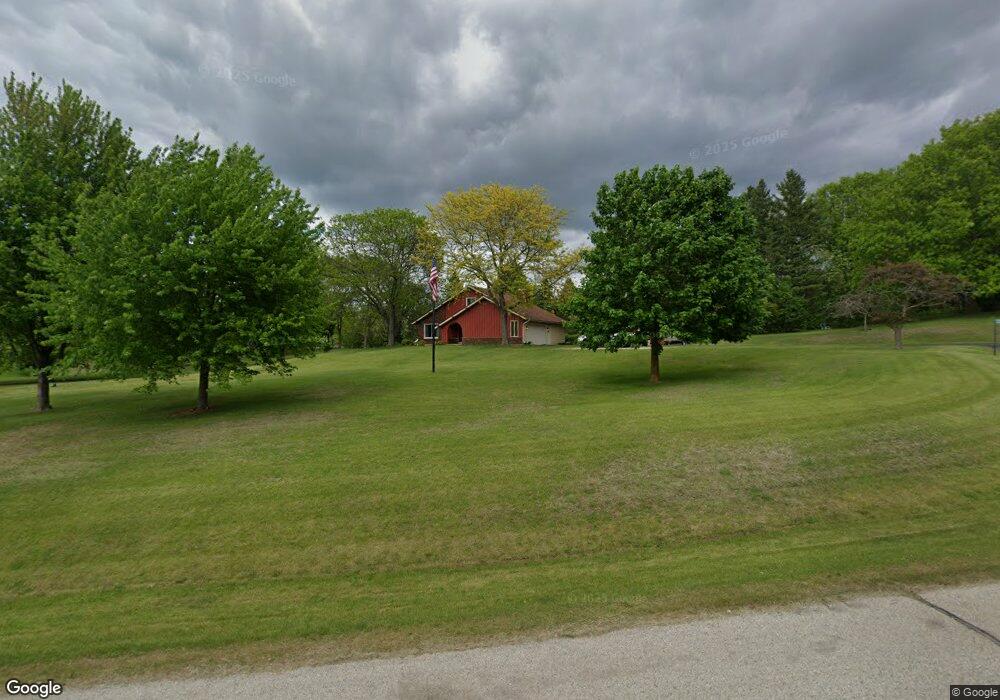
S76W31193 Karen Ct Mukwonago, WI 53149
Estimated Value: $392,000 - $502,000
--
Bed
--
Bath
--
Sq Ft
1.72
Acres
About This Home
This home is located at S76W31193 Karen Ct, Mukwonago, WI 53149 and is currently estimated at $440,754. S76W31193 Karen Ct is a home located in Waukesha County with nearby schools including Section Elementary School, Park View Middle School, and Mukwonago High School.
Ownership History
Date
Name
Owned For
Owner Type
Purchase Details
Closed on
Aug 28, 2015
Sold by
Stack Robert W and Estate Of Karen K Paeske
Bought by
Wilharms Michael and Wilharms Candice
Current Estimated Value
Home Financials for this Owner
Home Financials are based on the most recent Mortgage that was taken out on this home.
Original Mortgage
$186,558
Outstanding Balance
$148,789
Interest Rate
4.37%
Mortgage Type
FHA
Estimated Equity
$291,965
Create a Home Valuation Report for This Property
The Home Valuation Report is an in-depth analysis detailing your home's value as well as a comparison with similar homes in the area
Home Values in the Area
Average Home Value in this Area
Purchase History
| Date | Buyer | Sale Price | Title Company |
|---|---|---|---|
| Wilharms Michael | $190,000 | None Available |
Source: Public Records
Mortgage History
| Date | Status | Borrower | Loan Amount |
|---|---|---|---|
| Open | Wilharms Michael | $186,558 |
Source: Public Records
Tax History Compared to Growth
Tax History
| Year | Tax Paid | Tax Assessment Tax Assessment Total Assessment is a certain percentage of the fair market value that is determined by local assessors to be the total taxable value of land and additions on the property. | Land | Improvement |
|---|---|---|---|---|
| 2024 | $3,622 | $389,400 | $121,600 | $267,800 |
| 2023 | $3,469 | $241,400 | $75,000 | $166,400 |
| 2022 | $3,420 | $241,400 | $75,000 | $166,400 |
| 2021 | $3,163 | $241,400 | $75,000 | $166,400 |
| 2020 | $3,153 | $241,400 | $75,000 | $166,400 |
| 2019 | $2,868 | $241,400 | $75,000 | $166,400 |
| 2018 | $2,981 | $241,400 | $75,000 | $166,400 |
| 2017 | $2,968 | $241,400 | $75,000 | $166,400 |
| 2016 | $3,023 | $241,400 | $75,000 | $166,400 |
| 2015 | $2,994 | $241,400 | $75,000 | $166,400 |
| 2014 | $3,221 | $241,400 | $75,000 | $166,400 |
| 2013 | $3,221 | $241,400 | $75,000 | $166,400 |
Source: Public Records
Map
Nearby Homes
- W309S8296 County Road I
- S75W32101 Paul Ln
- S81W30467 Bailey
- W312S8869 Cherokee Pass
- S91W31622 Marys Ct
- 365 Woods Edge Dr
- Lt24 Woods Edge Dr
- Lt28 Woods Edge Dr
- Lt26 Woods Edge Dr
- Lt25 Woods Edge Dr
- 1575 Fairwinds Blvd
- 1625 Fairwinds Blvd
- 1534 Fairwinds Blvd
- 1564 Fairwinds Blvd
- 1584 Fairwinds Blvd
- 1624 Fairwinds Blvd
- 1547 Sandhill Ln Unit 2002
- 1521 Sandhill Ln Unit 2101
- 1525 Sandhill Ln Unit 2102
- 1543 Sandhill Ln Unit 2001
- S76W31147 Century Dr
- W311S7680 Karen Ct
- S76W31121 Century Dr
- W312S7665 Karen Ct
- W311S7691 Karen Ct
- S76W31218 Century Dr
- S76W31172 Century Dr
- S76W31156 Century Dr
- S76W31140 Century Dr
- S76W31258 Century Dr
- W310S7773 Arbor Dr
- W310S7741 Arbor Dr
- S76W31291 Century Dr
- S77W31175 Rita Ct
- W310S7565 Arbor Dr
- W310S7781 Arbor Dr
- W312S7781 Edna Ct
- S77W31167 Rita Ct
- S76W31320 Century Dr
- W312S7590 Spring Ln