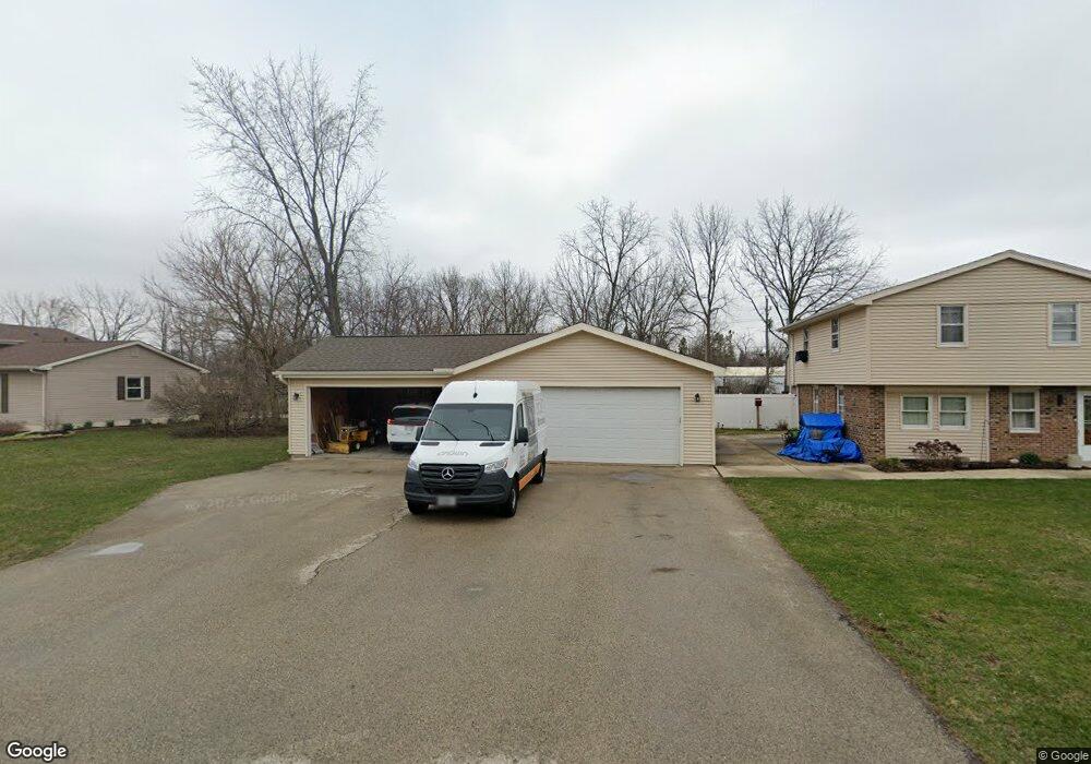
S79W18122 W Tower Dr Muskego, WI 53150
Estimated Value: $312,000 - $429,415
4
Beds
2
Baths
1,318
Sq Ft
$287/Sq Ft
Est. Value
About This Home
This home is located at S79W18122 W Tower Dr, Muskego, WI 53150 and is currently estimated at $377,854, approximately $286 per square foot. S79W18122 W Tower Dr is a home located in Waukesha County with nearby schools including Muskego Lakes Middle School, Muskego High School, and St. Leonard School.
Ownership History
Date
Name
Owned For
Owner Type
Purchase Details
Closed on
Mar 12, 2014
Sold by
Colman John P and Sammer Donna
Bought by
Klevgard Robert J and Klevgard Jessica A
Current Estimated Value
Home Financials for this Owner
Home Financials are based on the most recent Mortgage that was taken out on this home.
Original Mortgage
$135,900
Outstanding Balance
$103,046
Interest Rate
4.35%
Mortgage Type
New Conventional
Estimated Equity
$274,808
Purchase Details
Closed on
Jun 25, 1999
Sold by
Kaebisch Dennis and Kaebisch Julie
Bought by
Colman John P and Sammer Donna
Home Financials for this Owner
Home Financials are based on the most recent Mortgage that was taken out on this home.
Original Mortgage
$104,000
Interest Rate
7.37%
Create a Home Valuation Report for This Property
The Home Valuation Report is an in-depth analysis detailing your home's value as well as a comparison with similar homes in the area
Home Values in the Area
Average Home Value in this Area
Purchase History
| Date | Buyer | Sale Price | Title Company |
|---|---|---|---|
| Klevgard Robert J | $159,900 | None Available | |
| Colman John P | $130,000 | -- |
Source: Public Records
Mortgage History
| Date | Status | Borrower | Loan Amount |
|---|---|---|---|
| Open | Klevgard Robert J | $135,900 | |
| Previous Owner | Colman John P | $104,000 |
Source: Public Records
Tax History Compared to Growth
Tax History
| Year | Tax Paid | Tax Assessment Tax Assessment Total Assessment is a certain percentage of the fair market value that is determined by local assessors to be the total taxable value of land and additions on the property. | Land | Improvement |
|---|---|---|---|---|
| 2024 | $3,130 | $278,300 | $59,100 | $219,200 |
| 2023 | $3,083 | $278,300 | $59,100 | $219,200 |
| 2022 | $3,016 | $278,300 | $59,100 | $219,200 |
| 2021 | $2,985 | $278,300 | $59,100 | $219,200 |
| 2020 | $2,885 | $211,600 | $51,400 | $160,200 |
| 2019 | $2,853 | $211,600 | $51,400 | $160,200 |
| 2018 | $2,890 | $211,600 | $51,400 | $160,200 |
| 2017 | $2,894 | $211,600 | $51,400 | $160,200 |
| 2016 | $2,820 | $184,000 | $49,100 | $134,900 |
| 2015 | $2,854 | $184,000 | $49,100 | $134,900 |
| 2014 | $3,107 | $184,000 | $49,100 | $134,900 |
| 2013 | $3,107 | $184,000 | $49,100 | $134,900 |
Source: Public Records
Map
Nearby Homes
- W179S7953 Scenic Dr
- S75W17553 Harbor Cir Unit 1B
- W186S7576 Kingston Dr
- W188S7634 Oak Grove Dr
- W177S7495 Harbor Cir Unit 6D
- W188S7598 Oak Grove Dr
- S83W17591 Cedarcrest Ln
- Lt4 Lannon Dr
- W169S7647 Gregory Dr Unit D
- S78W16730 Spinnaker Dr
- S73W17268 Lake Dr
- W171S7452 Lannon Dr
- S76W19414 Prospect Dr
- S75W16788 Jacob Ct Unit 12
- W170S7361 Parkland Dr Unit 13
- S88W17993 Edgewater Heights Way
- W169S7219 Avon Ct
- W163S7358 Bay Lane Dr
- S70W19133 Kenwood Dr
- N51W19119 Quietwood Dr
- W180S7923 Pioneer Dr
- W180S7943 Pioneer Dr
- S79W18150 W Tower Dr
- W180S7953 Pioneer Dr
- S79W18155 W Tower Dr
- S79W18182 W Tower Dr
- S79W18181 W Tower Dr
- W180S7967 Pioneer Dr
- W180S7914 Pioneer Dr
- W180S7944 Pioneer Dr
- W180S7881 Pioneer Dr
- W180S7954 Pioneer Dr
- W180S7979 Pioneer Dr
- S78W18221 Lions Park Dr
- W180S7867 Pioneer Dr
- W180S7990 Pioneer Dr
- W180S7859 Pioneer Dr
- W180S7997 Pioneer Dr
- S78W18155 Lions Park Dr
- W180S7870 Pioneer Dr