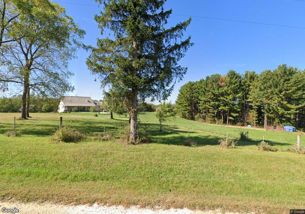
S8241 Stump Ridge Rd Viroqua, WI 54665
Estimated Value: $452,000 - $800,269
--
Bed
--
Bath
--
Sq Ft
40
Acres
About This Home
This home is located at S8241 Stump Ridge Rd, Viroqua, WI 54665 and is currently estimated at $629,090. S8241 Stump Ridge Rd is a home located in Vernon County with nearby schools including Kickapoo Elementary School and Kickapoo High School.
Ownership History
Date
Name
Owned For
Owner Type
Purchase Details
Closed on
Jan 2, 2025
Sold by
James Bassett H
Bought by
James Howard Bassett As Trustee Of The J
Current Estimated Value
Purchase Details
Closed on
Sep 3, 2020
Sold by
Bassett James H
Bought by
Bassett James Howard and James H Bassett Trust
Purchase Details
Closed on
Aug 4, 2020
Sold by
Bassett Margaret Raffela
Bought by
Bassett James H
Purchase Details
Closed on
May 30, 2017
Sold by
Bassett Margaret R and Bassett Margaret R
Bought by
James H Bassett Revocable Living Trust
Purchase Details
Closed on
Apr 24, 2017
Sold by
Bassett James H
Bought by
James H Bassett Revocable Living Trust
Create a Home Valuation Report for This Property
The Home Valuation Report is an in-depth analysis detailing your home's value as well as a comparison with similar homes in the area
Home Values in the Area
Average Home Value in this Area
Purchase History
| Date | Buyer | Sale Price | Title Company |
|---|---|---|---|
| James Howard Bassett As Trustee Of The J | $594,500 | Heather Olson | |
| Bassett James Howard | -- | None Available | |
| Bassett James H | -- | None Available | |
| James H Bassett Revocable Living Trust | -- | None Available | |
| James H Bassett Revocable Living Trust | -- | None Available |
Source: Public Records
Tax History Compared to Growth
Tax History
| Year | Tax Paid | Tax Assessment Tax Assessment Total Assessment is a certain percentage of the fair market value that is determined by local assessors to be the total taxable value of land and additions on the property. | Land | Improvement |
|---|---|---|---|---|
| 2024 | $6,473 | $328,900 | $25,600 | $303,300 |
| 2023 | $5,205 | $329,400 | $26,100 | $303,300 |
| 2022 | $5,328 | $329,400 | $26,100 | $303,300 |
| 2021 | $5,459 | $329,300 | $26,000 | $303,300 |
| 2020 | $5,470 | $329,100 | $25,800 | $303,300 |
| 2019 | $5,312 | $328,900 | $25,600 | $303,300 |
| 2018 | $5,341 | $328,900 | $25,600 | $303,300 |
| 2017 | $5,587 | $328,900 | $25,600 | $303,300 |
| 2016 | $5,610 | $328,900 | $25,600 | $303,300 |
| 2015 | $6,621 | $328,900 | $25,600 | $303,300 |
| 2014 | $5,578 | $328,800 | $25,500 | $303,300 |
| 2013 | $6,051 | $328,700 | $25,400 | $303,300 |
Source: Public Records
Map
Nearby Homes
- 0 Stump Ridge Rd
- 169.88± Acres Stump Ridge Rd
- 17 ACRES +/- Sherry Ridge Rd
- 0 State Highway 14 County Rd T -
- 12461 River Rd
- S8199 State Highway 61 -
- 202 Hemlock St
- 128 W Main St
- 616 S 6th St
- 321 Pine St
- 46748 Torgerson Rd
- S5848 Cowden Rd
- 50220 Turkey Ridge Rd
- 22.5+/- acres State 131 Rd
- 6.69 Acres River Rd
- 47298 Honey Farm Rd
- 6966 Johnson Ave
- 151 Mcintosh Ct
- Tbd Weber Rd
- TBD Weber Rd