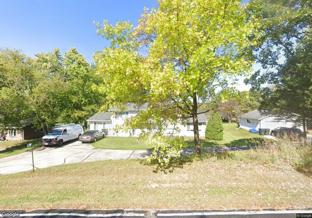
S82W31288 Section Rd Mukwonago, WI 53149
Estimated Value: $427,731 - $524,000
Studio
--
Bath
--
Sq Ft
145,055
Sq Ft Lot
About This Home
This home is located at S82W31288 Section Rd, Mukwonago, WI 53149 and is currently estimated at $484,244. S82W31288 Section Rd is a home located in Waukesha County with nearby schools including Section Elementary School, Park View Middle School, and Mukwonago High School.
Ownership History
Date
Name
Owned For
Owner Type
Purchase Details
Closed on
Jun 15, 1999
Sold by
Dunston Jay R and Dunston Catherine E
Bought by
Schuett Robert and Schuett Linda L
Current Estimated Value
Home Financials for this Owner
Home Financials are based on the most recent Mortgage that was taken out on this home.
Original Mortgage
$150,000
Outstanding Balance
$39,886
Interest Rate
7.15%
Mortgage Type
Purchase Money Mortgage
Estimated Equity
$444,358
Create a Home Valuation Report for This Property
The Home Valuation Report is an in-depth analysis detailing your home's value as well as a comparison with similar homes in the area
Home Values in the Area
Average Home Value in this Area
Purchase History
| Date | Buyer | Sale Price | Title Company |
|---|---|---|---|
| Schuett Robert | $165,000 | -- |
Source: Public Records
Mortgage History
| Date | Status | Borrower | Loan Amount |
|---|---|---|---|
| Open | Schuett Robert | $150,000 |
Source: Public Records
Tax History
| Year | Tax Paid | Tax Assessment Tax Assessment Total Assessment is a certain percentage of the fair market value that is determined by local assessors to be the total taxable value of land and additions on the property. | Land | Improvement |
|---|---|---|---|---|
| 2024 | $3,639 | $373,600 | $162,600 | $211,000 |
| 2023 | $4,186 | $274,800 | $118,000 | $156,800 |
| 2022 | $4,100 | $274,800 | $118,000 | $156,800 |
| 2021 | $3,838 | $274,800 | $118,000 | $156,800 |
| 2020 | $3,756 | $274,800 | $118,000 | $156,800 |
| 2019 | $3,445 | $274,800 | $118,000 | $156,800 |
| 2018 | $3,555 | $274,800 | $118,000 | $156,800 |
| 2017 | $4,022 | $274,800 | $118,000 | $156,800 |
| 2016 | $3,576 | $274,800 | $118,000 | $156,800 |
| 2015 | $3,417 | $274,800 | $118,000 | $156,800 |
| 2014 | $3,794 | $274,800 | $118,000 | $156,800 |
| 2013 | $3,794 | $274,800 | $118,000 | $156,800 |
Source: Public Records
Map
Nearby Homes
- W322S7805 Claire Dr
- 365 Woods Edge Dr
- Lt24 Woods Edge Dr
- 425 Woods Edge Dr
- 380 Woods Edge Dr
- 364 Woods Edge Dr
- 1462 Chapman Ct
- 1575 Fairwinds Blvd
- S83W32784 N Oak Tree Ct
- W327S8037 Memory Ln
- 1547 Sandhill Ln Unit 2002
- 1521 Sandhill Ln Unit 2101
- 1525 Sandhill Ln Unit 2102
- 1543 Sandhill Ln Unit 2001
- 1455 Sandhill Ln Unit 2402
- 1522 Sandhill Ln Unit 802
- 1526 Sandhill Ln Unit 801
- 1544 Sandhill Ln Unit 902
- 1548 Sandhill Ln Unit 901
- 609 Westlawn Ave
- S82W31302 Section Rd
- S83W31287 Section Rd
- S83W31319 Section Rd
- S82W31370 Section Rd
- S82W31390 Section Rd
- W314S8306 Winkler Dr Unit W314S8308
- W313S8390 Winkler Dr
- W314S8134 Whitmore Rd
- W313S8368 Winkler Dr
- S86W315 Winkler Dr
- S83W31425 Section Rd
- W313S8414 Winkler Dr
- S83W31427 Section Rd
- W314S8308 Winkler Dr
- W314S8130 Whitmore Rd
- W314S8355 Winkler Dr
- W313S8419 Winkler Dr
- S84W31403 Winkler Ct
- S82W31494 Section Rd
- W314S8365 Winkler Dr
Your Personal Tour Guide
Ask me questions while you tour the home.