S88W26645 Danielson St Mukwonago, WI 53149
Estimated Value: $443,000 - $498,000
--
Bed
--
Bath
--
Sq Ft
2.02
Acres
About This Home
This home is located at S88W26645 Danielson St, Mukwonago, WI 53149 and is currently estimated at $470,500. S88W26645 Danielson St is a home located in Waukesha County with nearby schools including Big Bend Elementary School, Park View Middle School, and Mukwonago High School.
Ownership History
Date
Name
Owned For
Owner Type
Purchase Details
Closed on
Jun 10, 2021
Sold by
Miller Adam G
Bought by
Miller Adam G and Miller Sarah
Current Estimated Value
Purchase Details
Closed on
Oct 11, 2013
Sold by
Greenwald Dave E
Bought by
Miller Adam G
Home Financials for this Owner
Home Financials are based on the most recent Mortgage that was taken out on this home.
Original Mortgage
$317,300
Outstanding Balance
$238,427
Interest Rate
4.5%
Mortgage Type
New Conventional
Estimated Equity
$232,073
Create a Home Valuation Report for This Property
The Home Valuation Report is an in-depth analysis detailing your home's value as well as a comparison with similar homes in the area
Home Values in the Area
Average Home Value in this Area
Purchase History
| Date | Buyer | Sale Price | Title Company |
|---|---|---|---|
| Miller Adam G | -- | None Available | |
| Miller Adam G | $334,000 | None Available |
Source: Public Records
Mortgage History
| Date | Status | Borrower | Loan Amount |
|---|---|---|---|
| Open | Miller Adam G | $317,300 |
Source: Public Records
Tax History Compared to Growth
Tax History
| Year | Tax Paid | Tax Assessment Tax Assessment Total Assessment is a certain percentage of the fair market value that is determined by local assessors to be the total taxable value of land and additions on the property. | Land | Improvement |
|---|---|---|---|---|
| 2024 | $212 | $29,700 | $20,200 | $9,500 |
| 2023 | $206 | $29,700 | $20,200 | $9,500 |
| 2022 | $311 | $30,800 | $21,300 | $9,500 |
| 2021 | $308 | $30,800 | $21,300 | $9,500 |
| 2020 | $308 | $30,800 | $21,300 | $9,500 |
| 2019 | $343 | $30,100 | $14,100 | $16,000 |
| 2018 | $343 | $30,100 | $14,100 | $16,000 |
| 2017 | $335 | $30,100 | $14,100 | $16,000 |
| 2016 | $327 | $30,100 | $14,100 | $16,000 |
| 2015 | $318 | $30,100 | $14,100 | $16,000 |
| 2014 | $202 | $0 | $0 | $0 |
| 2013 | $202 | $15,000 | $15,000 | $0 |
Source: Public Records
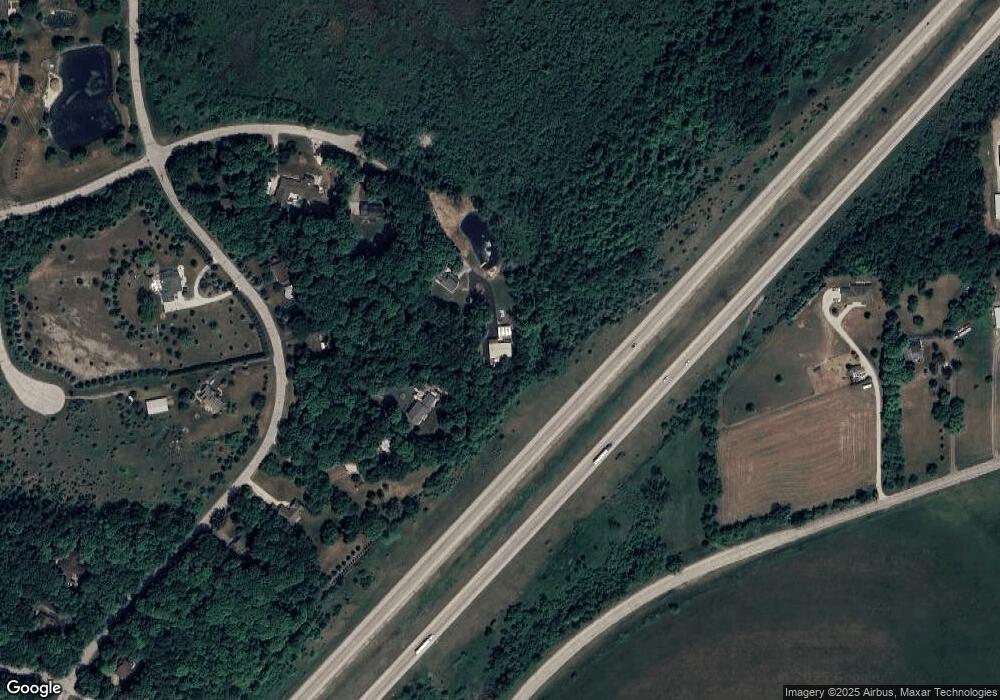
Map
Nearby Homes
- The Wingra Plan at Cardinal Ridge
- The Windsor Plan at Cardinal Ridge
- The Siena Plan at Cardinal Ridge
- The Sheridan Plan at Cardinal Ridge
- The Saybrook Plan at Cardinal Ridge
- The McKinley Plan at Cardinal Ridge
- The Hudson Plan at Cardinal Ridge
- The Harrington Plan at Cardinal Ridge
- The Drake Plan at Cardinal Ridge
- The Dover Plan at Cardinal Ridge
- The Coral Plan at Cardinal Ridge
- The Conway Plan at Cardinal Ridge
- The Charleston Plan at Cardinal Ridge
- The Catalina Plan at Cardinal Ridge
- The Caspian Plan at Cardinal Ridge
- The Bridgeport Plan at Cardinal Ridge
- The Bradford Plan at Cardinal Ridge
- The Atwater Plan at Cardinal Ridge
- The Adrian Plan at Cardinal Ridge
- The Addison Plan at Cardinal Ridge
- S88W26675 Danielson St
- W267S8960 Karlstad Dr
- W267S8980 Karlstad Dr
- W267S8940 Karlstad Dr
- S88W26685 Danielson St
- W266S8900 Karlstad Dr
- W267S8990 Karlstad Dr
- S88W26745 Danielson St
- W267S8955 Karlstad Dr
- S88W26775 Danielson St
- W267S9010 Karlstad Dr
- W267S8895 Karlstad Dr
- S89W26540 Edgewood Ave
- W268S9065 Karlstad Dr
- W268S9090 Karlstad Dr
- S89W26370 Edgewood Ave
- S91W26680 Edgewood Ave
- W268S9085 Karlstad Dr
- W262S8805 Oakdale Dr
- W268S9130 Karlstad Dr