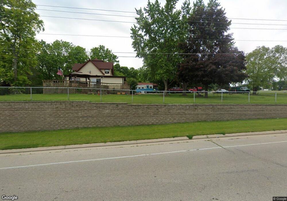
S91W27890 National Ave Mukwonago, WI 53149
Estimated Value: $492,000 - $608,000
--
Bed
--
Bath
--
Sq Ft
7.05
Acres
About This Home
This home is located at S91W27890 National Ave, Mukwonago, WI 53149 and is currently estimated at $545,961. S91W27890 National Ave is a home located in Waukesha County with nearby schools including Clarendon Avenue Elementary School, Park View Middle School, and Mukwonago High School.
Ownership History
Date
Name
Owned For
Owner Type
Purchase Details
Closed on
Nov 26, 2001
Sold by
Wilkening Geoffrey G and Wilkening Richard S
Bought by
Heaven City Development Co
Current Estimated Value
Purchase Details
Closed on
Mar 12, 1997
Sold by
Haig Katherine
Bought by
Wilkening Geoffrey G and Wilkening Richard
Home Financials for this Owner
Home Financials are based on the most recent Mortgage that was taken out on this home.
Original Mortgage
$141,000
Interest Rate
7.82%
Create a Home Valuation Report for This Property
The Home Valuation Report is an in-depth analysis detailing your home's value as well as a comparison with similar homes in the area
Home Values in the Area
Average Home Value in this Area
Purchase History
| Date | Buyer | Sale Price | Title Company |
|---|---|---|---|
| Heaven City Development Co | $305,000 | -- | |
| Wilkening Geoffrey G | $155,900 | -- |
Source: Public Records
Mortgage History
| Date | Status | Borrower | Loan Amount |
|---|---|---|---|
| Previous Owner | Wilkening Geoffrey G | $141,000 |
Source: Public Records
Tax History Compared to Growth
Tax History
| Year | Tax Paid | Tax Assessment Tax Assessment Total Assessment is a certain percentage of the fair market value that is determined by local assessors to be the total taxable value of land and additions on the property. | Land | Improvement |
|---|---|---|---|---|
| 2024 | $3,816 | $449,600 | $173,200 | $276,400 |
| 2023 | $3,748 | $449,600 | $173,200 | $276,400 |
| 2022 | $4,007 | $347,100 | $139,800 | $207,300 |
| 2021 | $3,979 | $347,100 | $139,800 | $207,300 |
| 2020 | $3,975 | $347,100 | $139,800 | $207,300 |
| 2019 | $3,797 | $295,600 | $121,400 | $174,200 |
| 2018 | $3,803 | $295,600 | $121,400 | $174,200 |
| 2017 | $3,734 | $295,600 | $121,400 | $174,200 |
| 2016 | $3,740 | $295,600 | $121,400 | $174,200 |
| 2015 | $3,651 | $295,600 | $121,400 | $174,200 |
| 2014 | $4,002 | $0 | $0 | $0 |
| 2013 | $4,002 | $301,600 | $125,000 | $176,600 |
Source: Public Records
Map
Nearby Homes
- W277S9025 Hidden Lakes Ct
- The Wingra Plan at Cardinal Ridge
- The Windsor Plan at Cardinal Ridge
- The Siena Plan at Cardinal Ridge
- The Sheridan Plan at Cardinal Ridge
- The Saybrook Plan at Cardinal Ridge
- The McKinley Plan at Cardinal Ridge
- The Hudson Plan at Cardinal Ridge
- The Harrington Plan at Cardinal Ridge
- The Drake Plan at Cardinal Ridge
- The Dover Plan at Cardinal Ridge
- The Coral Plan at Cardinal Ridge
- The Conway Plan at Cardinal Ridge
- The Charleston Plan at Cardinal Ridge
- The Catalina Plan at Cardinal Ridge
- The Caspian Plan at Cardinal Ridge
- The Bridgeport Plan at Cardinal Ridge
- The Bradford Plan at Cardinal Ridge
- The Atwater Plan at Cardinal Ridge
- The Adrian Plan at Cardinal Ridge
- S92W27865 National Ave
- S91W27795 National Ave
- S92W27825 National Ave
- 1410 Fox River Run
- 1404 Whitetail Run
- 1414 Whitetail Run
- 1418 Fox River Run
- 1417 Whitetail Run
- 1411 Fox River Run
- 1424 Whitetail Run
- 1427 Whitetail Run
- 1424 Fox River Run
- 1406 Red Fox Run
- 1430 Fox River Run
- 1429 Fox River Run
- 1407 Red Fox Run
- 1501 Whitetail Run
- 1413 Red Fox Run
- 1506 Whitetail Run
- 1504 Fox River Run