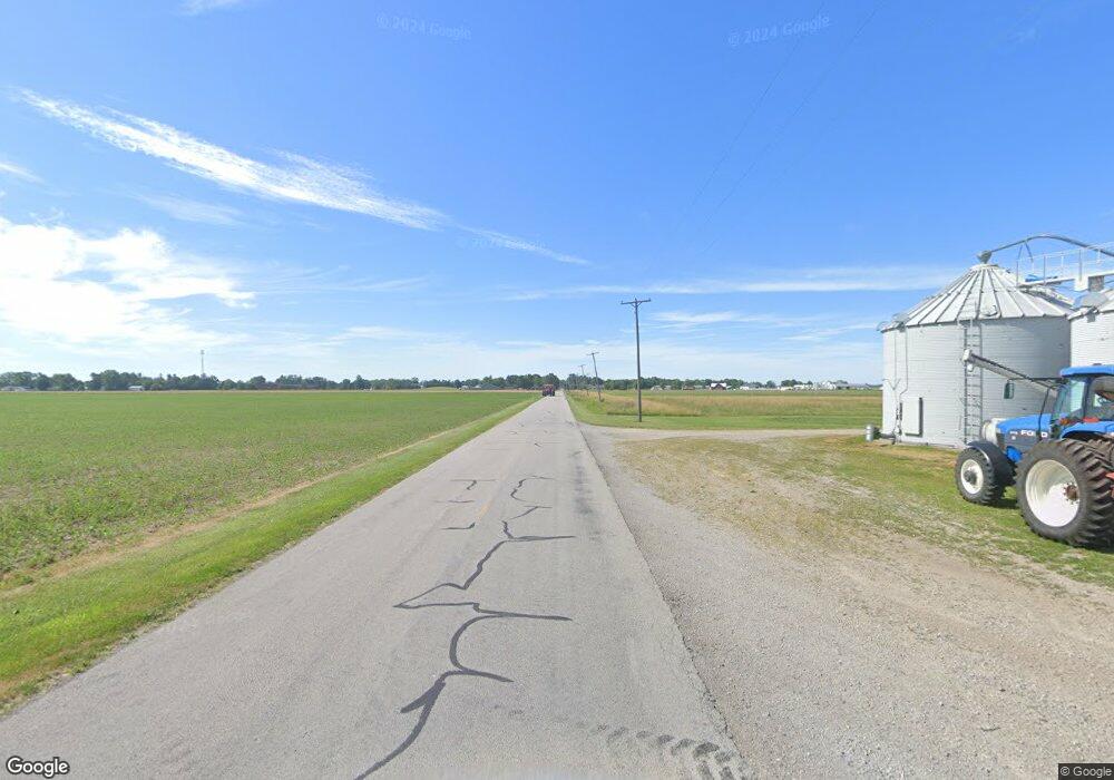
S939 County Road 20b Unit 1 Archbold, OH 43502
Estimated Value: $159,000 - $188,275
2
Beds
2
Baths
1,130
Sq Ft
$155/Sq Ft
Est. Value
About This Home
This home is located at S939 County Road 20b Unit 1, Archbold, OH 43502 and is currently estimated at $175,069, approximately $154 per square foot. S939 County Road 20b Unit 1 is a home located in Fulton County with nearby schools including Archbold Elementary School, Archbold Middle School, and Archbold High School.
Ownership History
Date
Name
Owned For
Owner Type
Purchase Details
Closed on
Jun 4, 2019
Sold by
Lange Timothy L and Lange Bonnie S
Bought by
Barber Marvin Clay and Barber Melissa S
Current Estimated Value
Home Financials for this Owner
Home Financials are based on the most recent Mortgage that was taken out on this home.
Original Mortgage
$82,875
Outstanding Balance
$54,518
Interest Rate
4.2%
Mortgage Type
New Conventional
Estimated Equity
$120,551
Purchase Details
Closed on
Sep 11, 2015
Sold by
Osterland Benjamin Christian and Osterland Lisa Nicole
Bought by
Lange Timothy L and Lange Bonnie S
Create a Home Valuation Report for This Property
The Home Valuation Report is an in-depth analysis detailing your home's value as well as a comparison with similar homes in the area
Home Values in the Area
Average Home Value in this Area
Purchase History
| Date | Buyer | Sale Price | Title Company |
|---|---|---|---|
| Barber Marvin Clay | $97,500 | Title Assurance Group Ltd | |
| Lange Timothy L | $104,500 | Attorney |
Source: Public Records
Mortgage History
| Date | Status | Borrower | Loan Amount |
|---|---|---|---|
| Open | Barber Marvin Clay | $82,875 |
Source: Public Records
Tax History Compared to Growth
Tax History
| Year | Tax Paid | Tax Assessment Tax Assessment Total Assessment is a certain percentage of the fair market value that is determined by local assessors to be the total taxable value of land and additions on the property. | Land | Improvement |
|---|---|---|---|---|
| 2024 | $2,483 | $52,430 | $4,440 | $47,990 |
| 2023 | $2,483 | $52,430 | $4,440 | $47,990 |
| 2022 | $2,072 | $95,940 | $5,180 | $90,760 |
| 2021 | $1,980 | $47,970 | $2,590 | $45,380 |
| 2020 | $2,146 | $47,970 | $2,590 | $45,380 |
| 2019 | $2,014 | $43,110 | $2,420 | $40,690 |
| 2018 | $2,084 | $43,110 | $2,420 | $40,690 |
| 2017 | $1,963 | $43,110 | $2,420 | $40,690 |
| 2016 | $1,884 | $40,740 | $2,420 | $38,320 |
| 2015 | $1,766 | $40,740 | $2,420 | $38,320 |
| 2014 | $1,806 | $40,740 | $2,420 | $38,320 |
| 2013 | $1,806 | $40,740 | $2,420 | $38,320 |
Source: Public Records
Map
Nearby Homes
- 20401 U S 6
- 19972 County Road X
- 19950 County Road X
- 19913 County Road X
- 23648 County Rd S
- 29232 Coressel Rd
- 209 Dogwood Ct
- 209 Hawthorn Dr
- 202 Hawthorn Dr
- 2820 County Road 19
- 0 S Defiance St
- 200 Burke St
- 0 Lafayette St
- 206 Pleasant St
- 200 Pleasant St
- 26761 Behrens Rd
- 26825 Behrens Rd
- 406 Park St
- 221 Farmington Rd
- 804 Murbach St
- S939 County Road 20b
- S939 County Road 20b
- S939 County Road 20b Unit 1
- S939 County Road 20b Unit 2
- 0 S939 Co Rd 20b
- S 921 County Road 20b Unit 2
- S 921 County Road 20b
- S 921 County Road 20b Rd
- S921 County Road 20b
- S921 County Road 20b Unit 5028111
- S921 County Road 20b Unit 5023285
- S921 County Road 20b Unit 4663798
- S 921 County Road 20b Rd Unit 2
- S921 County Road 20b Unit 2
- S921 County Road 20b Unit 1
- S955 County Road 20b
- S926 County Road 20-B
- S926 County Road 20b
- S952 County Road 20b
- S873 County Road 20b
