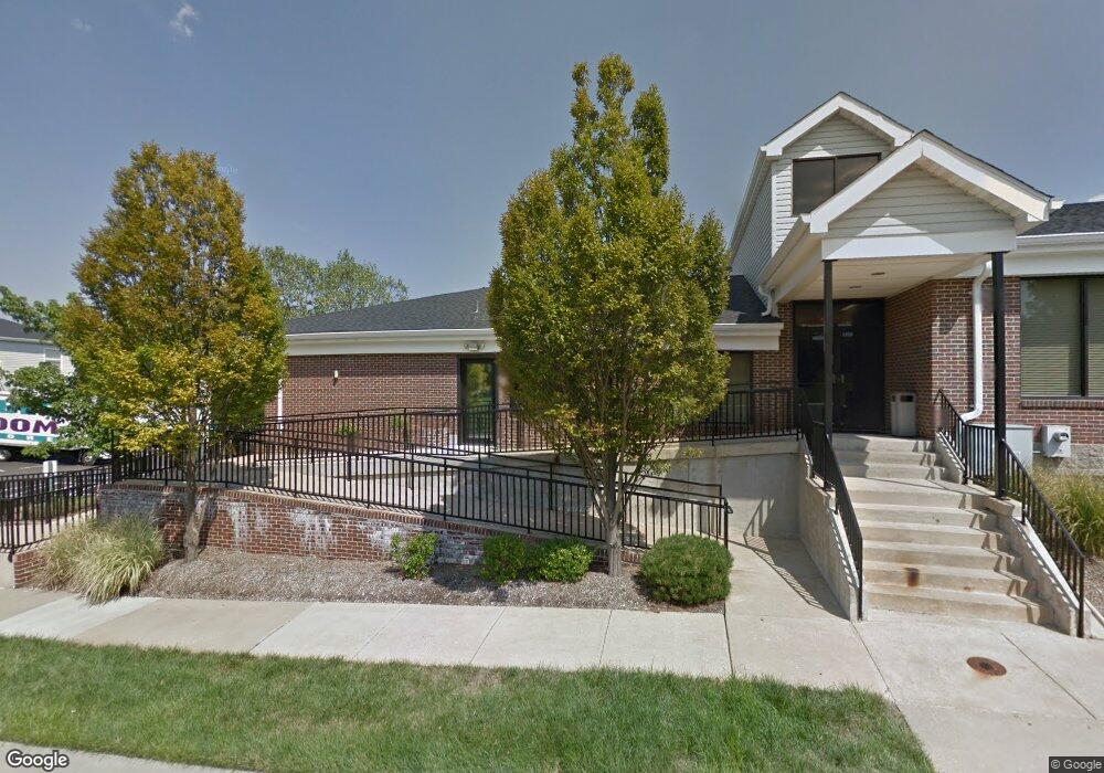
1400 Britain Way Saint Charles, MO 63304
3
Beds
2
Baths
192,156
Sq Ft
21.11
Acres
About This Home
This home is located at 1400 Britain Way, Saint Charles, MO 63304. 1400 Britain Way is a home located in St. Charles County with nearby schools including Central Elementary School, Bryan Middle School, and Francis Howell Union High School.
Ownership History
Date
Name
Owned For
Owner Type
Purchase Details
Closed on
Mar 24, 2010
Sold by
Sterling Heights Inc
Bought by
Sterling Heights L L C
Home Financials for this Owner
Home Financials are based on the most recent Mortgage that was taken out on this home.
Original Mortgage
$3,956,000
Outstanding Balance
$2,374,768
Interest Rate
4.5%
Mortgage Type
Purchase Money Mortgage
Purchase Details
Closed on
Dec 12, 2006
Sold by
Dower Patti A
Bought by
Sterling Heights Llc
Purchase Details
Closed on
Mar 31, 2003
Sold by
St Charles County Missouri
Bought by
Sterling Heights Inc
Home Financials for this Owner
Home Financials are based on the most recent Mortgage that was taken out on this home.
Original Mortgage
$3,750,000
Interest Rate
5.71%
Mortgage Type
Purchase Money Mortgage
Create a Home Valuation Report for This Property
The Home Valuation Report is an in-depth analysis detailing your home's value as well as a comparison with similar homes in the area
Home Values in the Area
Average Home Value in this Area
Purchase History
| Date | Buyer | Sale Price | Title Company |
|---|---|---|---|
| Sterling Heights L L C | -- | U S Title Co | |
| Sterling Heights Llc | -- | None Available | |
| Sterling Heights Inc | -- | -- |
Source: Public Records
Mortgage History
| Date | Status | Borrower | Loan Amount |
|---|---|---|---|
| Open | Sterling Heights L L C | $3,956,000 | |
| Previous Owner | Sterling Heights Inc | $3,750,000 |
Source: Public Records
Tax History Compared to Growth
Tax History
| Year | Tax Paid | Tax Assessment Tax Assessment Total Assessment is a certain percentage of the fair market value that is determined by local assessors to be the total taxable value of land and additions on the property. | Land | Improvement |
|---|---|---|---|---|
| 2025 | $178,239 | $3,001,402 | -- | -- |
| 2023 | $178,161 | $3,001,402 | $0 | $0 |
| 2022 | $148,146 | $2,319,373 | $0 | $0 |
| 2021 | $148,281 | $2,319,373 | $0 | $0 |
| 2020 | $131,560 | $1,992,000 | $0 | $0 |
| 2019 | $130,963 | $1,992,000 | $0 | $0 |
| 2018 | $136,988 | $1,992,000 | $0 | $0 |
| 2017 | $135,825 | $1,992,000 | $0 | $0 |
| 2016 | $119,513 | $1,688,038 | $0 | $0 |
| 2015 | $119,268 | $1,688,038 | $0 | $0 |
| 2014 | $123,350 | $1,694,270 | $0 | $0 |
Source: Public Records
Map
Nearby Homes
- 4557 Cambrook Dr
- 4540 Shoshone Trail
- 1106 Claycrest Dr
- 1359 Pine Bluff Dr
- 1369 Pine Bluff Dr
- 1 Rochester @ Kreder Farms
- 1 Bridgeport @ Kreder Farms
- 1 Savoy @ Kreder Farms Way
- 1 Monaco @ Kreder Farms
- 1 Waverly @ Kreder Farms
- 1 Kingston @ Kreder Farms
- 1 Bradford @ Kreder Farms
- 1 Sienna @ Kreder Farms
- 1 Hartford @ Kreder Farms
- 1 Rockport @ Kreder Farms
- 1 Sydney @Kreder Farms
- 207 Kreder Ln
- 44 Dugan Ct
- Edgewood Plan at Kreder Farms
- Sydney Plan at Kreder Farms
- 1400 Britain Way
- 1309 Cambrook Ct
- 1311 Cambrook Ct
- 1307 Cambrook Ct
- 1313 Cambrook Ct
- 1305 Cambrook Ct
- 1315 Cambrook Ct
- 1303 Cambrook Ct
- 1317 Cambrook Ct
- 1308 Cambrook Ct
- 1319 Cambrook Ct
- 1306 Cambrook Ct
- 1312 Cambrook Ct
- 4534 Cambrook Dr
- 4530 Cambrook Dr
- 4518 Cambrook Dr
- 4536 Cambrook Dr
- 4516 Cambrook Dr
- 4520 Cambrook Dr
- 4526 Cambrook Dr