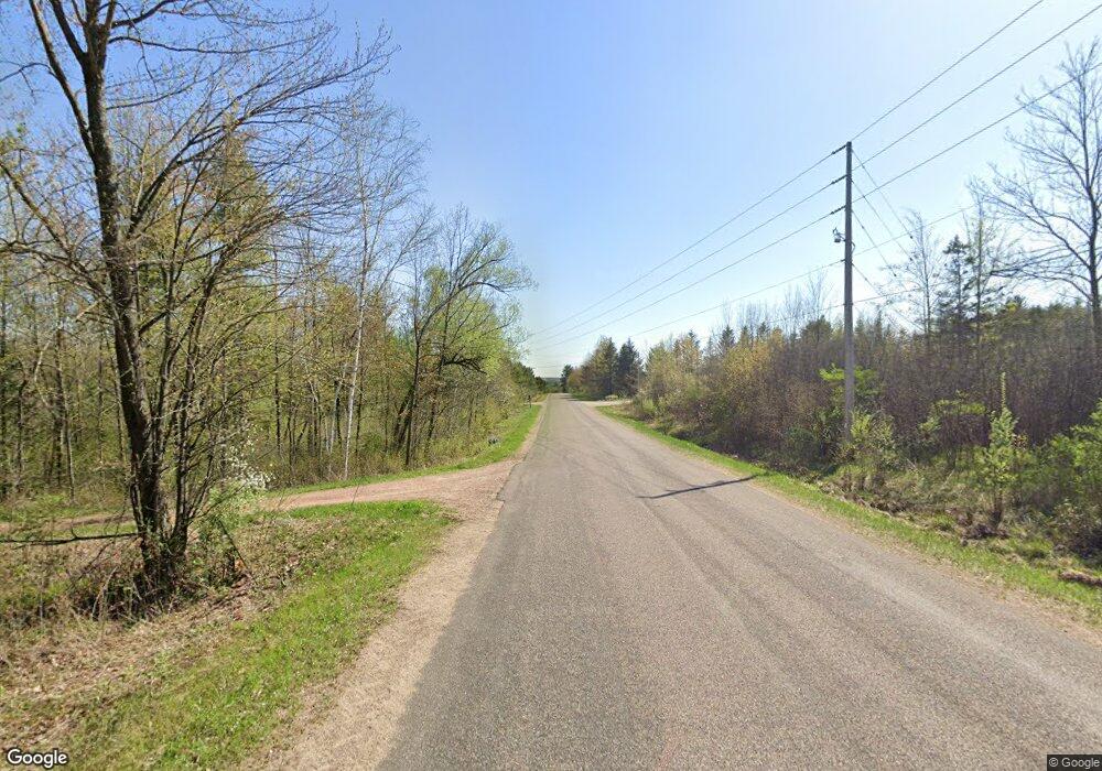
T13721 Shady Lane Rd Wausau, WI 54403
Estimated Value: $252,000 - $500,151
--
Bed
--
Bath
--
Sq Ft
30.7
Acres
About This Home
This home is located at T13721 Shady Lane Rd, Wausau, WI 54403 and is currently estimated at $395,050. T13721 Shady Lane Rd is a home located in Marathon County with nearby schools including Hewitt-Texas Elementary School, Horace Mann Middle School, and East High School.
Ownership History
Date
Name
Owned For
Owner Type
Purchase Details
Closed on
Apr 15, 2013
Sold by
Kittel Nancy J
Bought by
Ison James E and Ison Connie M
Current Estimated Value
Home Financials for this Owner
Home Financials are based on the most recent Mortgage that was taken out on this home.
Original Mortgage
$230,000
Outstanding Balance
$163,301
Interest Rate
3.6%
Mortgage Type
VA
Estimated Equity
$231,749
Create a Home Valuation Report for This Property
The Home Valuation Report is an in-depth analysis detailing your home's value as well as a comparison with similar homes in the area
Home Values in the Area
Average Home Value in this Area
Purchase History
| Date | Buyer | Sale Price | Title Company |
|---|---|---|---|
| Ison James E | $230,000 | None Available |
Source: Public Records
Mortgage History
| Date | Status | Borrower | Loan Amount |
|---|---|---|---|
| Open | Ison James E | $230,000 |
Source: Public Records
Tax History Compared to Growth
Tax History
| Year | Tax Paid | Tax Assessment Tax Assessment Total Assessment is a certain percentage of the fair market value that is determined by local assessors to be the total taxable value of land and additions on the property. | Land | Improvement |
|---|---|---|---|---|
| 2024 | $4,360 | $206,900 | $91,800 | $115,100 |
| 2023 | $4,339 | $206,900 | $91,800 | $115,100 |
| 2022 | $3,950 | $206,900 | $91,800 | $115,100 |
| 2021 | $3,871 | $206,900 | $91,800 | $115,100 |
| 2020 | $3,745 | $206,900 | $91,800 | $115,100 |
| 2019 | $3,742 | $206,900 | $91,800 | $115,100 |
| 2018 | $3,831 | $206,900 | $91,800 | $115,100 |
| 2017 | $3,891 | $206,900 | $91,800 | $115,100 |
| 2016 | $3,871 | $206,900 | $91,800 | $115,100 |
| 2015 | $3,678 | $206,900 | $91,800 | $115,100 |
| 2014 | $3,640 | $210,800 | $95,700 | $115,100 |
Source: Public Records
Map
Nearby Homes
- 232558 Wellborn Rd Unit 232550 Wellborn Road
- 157471 Land Art Rd
- 1707 Woodbury Pkwy Unit Lot 24
- 1705 Stark St
- 1309 Sell St
- 1308 Brown St
- 1209 Augusta Ave Unit 1211
- 2101 Eagle Valley Ln
- 1104 Gilbert St
- 1509 Fulton St
- 1704 Eagle Valley Ln
- 3222 N 12th St
- 1010 Gilbert St
- 1903 Statesman Dr
- 316 Independence Ln
- 903 Parcher St
- 818 E Union Ave
- 1815 Woodland Ridge Rd
- 501 Aspen Grove Ln
- 814 Park Ave
- T15367 Shady Lane Rd
- T9575 N 25th St
- T12969 Shady Lane Rd
- T12930 N 57th St
- T5780 Little Trappe Rd
- T124 Granite Heights Rd
- T4458 County Rd W
- T5370 Blue Rock Ct
- T5375 Blue Rock Ct
- T5220 N Troy St
- T7450 County Rd W
- H8755 Woodland Rd
- H9724 Woodland Rd
- H18280 Landing Rd
- H10949 County Road J
- H19626 Deer Rd
- H13986 County Road G
- H11548 County Road G
- E2341 Sandy Ridge Rd
- 012 Confidential Ln
