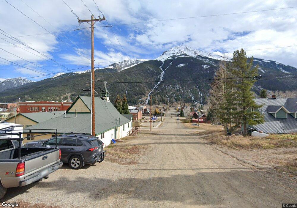
TBD Bluff St (Between 10th & 11th Streets) Silverton, CO 81433
Estimated Value: $300,000
Studio
--
Bath
--
Sq Ft
4,792
Sq Ft
About This Home
This home is located at TBD Bluff St (Between 10th & 11th Streets), Silverton, CO 81433 and is currently estimated at $300,000. TBD Bluff St (Between 10th & 11th Streets) is a home located in San Juan County with nearby schools including Silverton Elementary School, Silverton Middle School, and Silverton High School.
Ownership History
Date
Name
Owned For
Owner Type
Purchase Details
Closed on
Mar 13, 2025
Sold by
Jenkins Jennifer Oliver
Bought by
Dondlinger Christopher Daniel
Current Estimated Value
Home Financials for this Owner
Home Financials are based on the most recent Mortgage that was taken out on this home.
Original Mortgage
$119,000
Outstanding Balance
$117,989
Interest Rate
6.95%
Mortgage Type
New Conventional
Estimated Equity
$182,011
Purchase Details
Closed on
Apr 26, 2022
Sold by
Kranker Steven A
Bought by
Twin Peaks Renovations Llc
Purchase Details
Closed on
Nov 19, 2020
Sold by
Hibbs Romana
Bought by
Kranker Steven A and Kranker Michelle O
Create a Home Valuation Report for This Property
The Home Valuation Report is an in-depth analysis detailing your home's value as well as a comparison with similar homes in the area
Purchase History
| Date | Buyer | Sale Price | Title Company |
|---|---|---|---|
| Dondlinger Christopher Daniel | $170,000 | None Listed On Document | |
| Twin Peaks Renovations Llc | -- | None Listed On Document | |
| Kranker Steven A | $247,800 | Colorado Ttl & Closing Svcs |
Source: Public Records
Mortgage History
| Date | Status | Borrower | Loan Amount |
|---|---|---|---|
| Open | Dondlinger Christopher Daniel | $119,000 |
Source: Public Records
Tax History
| Year | Tax Paid | Tax Assessment Tax Assessment Total Assessment is a certain percentage of the fair market value that is determined by local assessors to be the total taxable value of land and additions on the property. | Land | Improvement |
|---|---|---|---|---|
| 2024 | $2,280 | $41,854 | $0 | $0 |
| 2023 | $1,971 | $41,854 | $41,854 | $0 |
| 2022 | $1,143 | $25,010 | $25,010 | $0 |
| 2020 | $1,003 | $22,678 | $0 | $0 |
| 2019 | $1,006 | $22,678 | $22,678 | $0 |
| 2018 | $984 | $21,924 | $21,924 | $0 |
| 2017 | $965 | $21,924 | $0 | $0 |
| 2016 | $978 | $21,823 | $0 | $0 |
| 2015 | $1,116 | $21,823 | $0 | $0 |
| 2014 | $1,116 | $25,607 | $0 | $0 |
| 2013 | -- | $25,607 | $0 | $0 |
Source: Public Records
Map
Nearby Homes
- 1257 Snowden St
- 1250 Snowden St
- 8th & Snowden St
- 0 Snowden St
- TBD Scenic Dr
- 0 Scenic Dr
- 1357 Reese St
- 1135 Blair St
- 839 Reese St
- 999 Empire St
- 9th Gilman Ave
- 2042 County Road 2
- Riverside Group County Road 2
- 967 Mineral St
- 939 Mineral St
- Lot 9 Mineral St
- Lot 10 Mineral St
- 10th & 11th Mineral St
- 1428 Greene St
- 1125 Cement St
- Lots 23 and 24 Bluff St
- TBD Bluff (Between 10th & 11th) St
- 1068 Keystone St
- 6th Bluff St
- 1100 Bluff St
- 1100 Block Bluff
- Non-Number 11th and Bluff St
- 11th Bluff St
- 1021 Bluff St
- 1006 Keystone St
- 1100 Keystone St
- 341 W 11th St
- 346 W 11th St
- 10th & Bluff St
- 8th Bluff St
- Lots 15 and 16 Bluff St
- Lots 10-12 Bluff St
- Lots 7-9 Bluff St
- 7th & Bluff St
- 8th St & Bluff St
Your Personal Tour Guide
Ask me questions while you tour the home.