TBD County Rd 243 Unit n/a Westcliffe, CO 81252
Estimated Value: $423,000 - $574,340
3
Beds
2
Baths
2,048
Sq Ft
$251/Sq Ft
Est. Value
About This Home
This home is located at TBD County Rd 243 Unit n/a, Westcliffe, CO 81252 and is currently estimated at $513,447, approximately $250 per square foot. TBD County Rd 243 Unit n/a is a home located in Custer County with nearby schools including Custer County Elementary School, Custer Middle School, and Custer County High School.
Ownership History
Date
Name
Owned For
Owner Type
Purchase Details
Closed on
Dec 1, 2020
Sold by
Mast Jason
Bought by
Mast Jason
Current Estimated Value
Purchase Details
Closed on
Sep 17, 2020
Sold by
Johnson Kenny R
Bought by
Mast Jason
Home Financials for this Owner
Home Financials are based on the most recent Mortgage that was taken out on this home.
Original Mortgage
$26,000
Interest Rate
2.8%
Mortgage Type
New Conventional
Purchase Details
Closed on
Feb 16, 2006
Sold by
Helminiak Harold J and Helminiak Janis L
Bought by
Johnson Kenny R
Create a Home Valuation Report for This Property
The Home Valuation Report is an in-depth analysis detailing your home's value as well as a comparison with similar homes in the area
Home Values in the Area
Average Home Value in this Area
Purchase History
| Date | Buyer | Sale Price | Title Company |
|---|---|---|---|
| Mast Jason | -- | None Available | |
| Mast Jason | -- | None Listed On Document | |
| Mast Jason | $40,000 | None Listed On Document | |
| Johnson Kenny R | $48,500 | -- |
Source: Public Records
Mortgage History
| Date | Status | Borrower | Loan Amount |
|---|---|---|---|
| Closed | Mast Jason | $26,000 |
Source: Public Records
Tax History Compared to Growth
Tax History
| Year | Tax Paid | Tax Assessment Tax Assessment Total Assessment is a certain percentage of the fair market value that is determined by local assessors to be the total taxable value of land and additions on the property. | Land | Improvement |
|---|---|---|---|---|
| 2024 | $1,905 | $33,920 | $0 | $0 |
| 2023 | $1,905 | $33,920 | $0 | $0 |
| 2021 | $931 | $14,080 | $14,080 | $0 |
| 2020 | $931 | $14,080 | $14,080 | $0 |
| 2019 | -- | $14,080 | $14,080 | $0 |
| 2018 | -- | $14,080 | $14,080 | $0 |
| 2017 | -- | $14,080 | $14,080 | $0 |
| 2016 | -- | $14,080 | $14,080 | $0 |
| 2015 | -- | $48,551 | $48,551 | $0 |
| 2012 | -- | $48,551 | $48,551 | $0 |
Source: Public Records
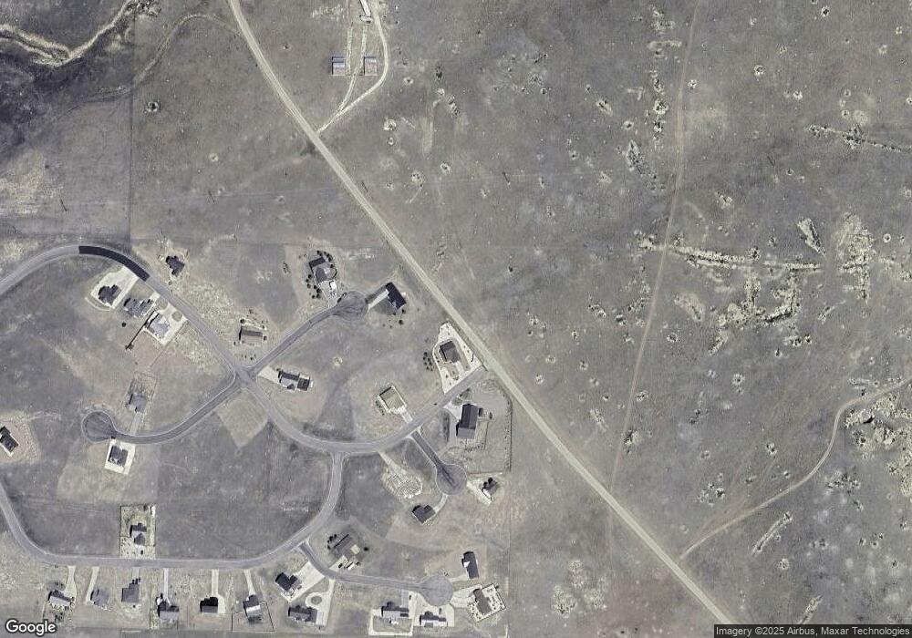
Map
Nearby Homes
- 900 County Rd 241
- 1605 County Rd 243
- 1400 County Road 243
- 70 Mineral Rd
- 70 Mineral Rd Unit 87
- 1970 County Road 241
- 1605 County Road 243
- 1970 Cr 241
- 60 Pyrite Cir
- 378 Lone Tree Cir
- 900 County Road 241
- Lot 31 Pyrite Cir
- 85 Pyrite Cir
- 70 Kryptonite Ct
- 104 Mission Dr
- 138 Jerry Dr
- 144 Jerry Dr
- 279 Mission Dr
- 104 Crista Ln
- 114 Jerry Dr
- # Cr 243
- 900 County Rd 241 Unit 1
- 900 County Rd 241 Unit 2
- 210 County Road 240
- None Cr 241
- Unassign Lake Deweese Rd
- 2288 County Road 243
- 224 County Road 240
- 236 County Road 240
- 1942 County Road 243
- 715 County Road 241
- TBD Cr 243
- 120 Lone Tree Cir
- 120 Lone Tree Cir Unit n/a
- 2360 County Road 243
- 1605 Cr 243
- 1605 County Rd 243 Unit 2
- 1955 County Road 241
- 2477 County Road 243
- Unassign Cr 243