TBD Cr 23 Kimball, NE
Estimated payment $840/month
Highlights
- 161.85 Acre Lot
- Level Lot
- Crops
About This Lot
161+/- acres with Mineral rights. Northwest of Kimball NE. Dryland Wheat or Millet or Sunflowers. No water rights. Not in CRP. Gravel road, easy access. Small area of wetlands. No known Conservation Easements. Priced to sell.
Property Details
Property Type
- Land
Est. Annual Taxes
- $753
Lot Details
- 161.85 Acre Lot
- Level Lot
Additional Features
- Crops
- Private Water Source
Listing and Financial Details
- Assessor Parcel Number 530027496
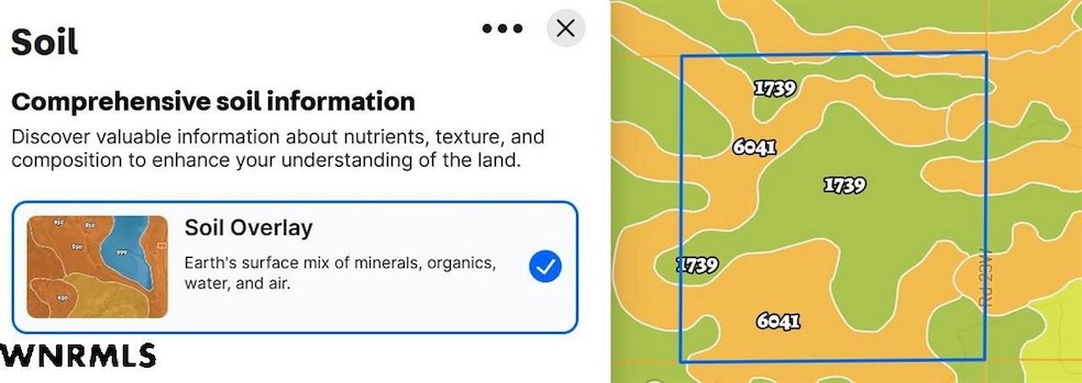
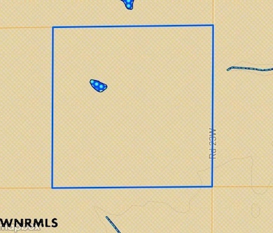
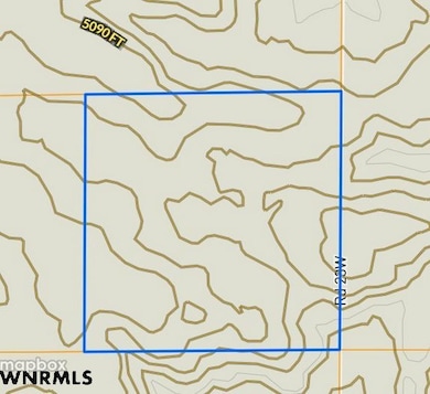
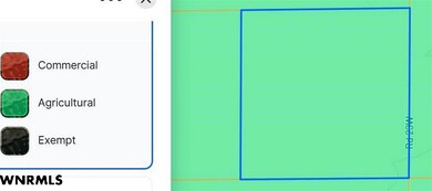
Map
Home Values in the Area
Average Home Value in this Area
Property History
| Date | Event | Price | List to Sale | Price per Sq Ft |
|---|---|---|---|---|
| 09/10/2025 09/10/25 | Price Changed | $148,200 | -3.1% | -- |
| 05/08/2025 05/08/25 | For Sale | $153,000 | -- | -- |
Source: Western Nebraska Board of REALTORS®
MLS Number: 26369
Disclaimer: Certain information contained herein is derived from information provided by parties other than Homes.com. All information provided is deemed reliable, but is not guaranteed to be accurate and should be independently verified.
![]() IDX information is provided exclusively for personal, non-commercial use, and may not be used for any purpose other than to identify prospective properties consumers may be interested in purchasing. Information is deemed reliable but not guaranteed.
IDX information is provided exclusively for personal, non-commercial use, and may not be used for any purpose other than to identify prospective properties consumers may be interested in purchasing. Information is deemed reliable but not guaranteed.
- 0 Tbd Road 27 W
- County Road 6
- Road 6 and Road 29
- 00 Cr 33
- 0 Road 6
- TBD Road 7 W
- 1732 Road 34n
- 1732 Road 34 N
- TBD Road 14
- TBD County Road 33 W
- TBD Road 27 W
- 3686 Road 41 E
- 914 Highway 30
- 914 U S 30
- 402 N Chestnut St
- 108 S Burg St
- 400 N Chestnut St
- 410 N Myrtle St Unit 410 1/2 N Myrtle St
- 302 N Elm St
- 600 Cedar St
