
Seller's Agent in 2019
Trisha M. Cranney
Anne Vickery & Associates Realty, LLC
(832) 398-1021
36 Total Sales

Estimated Value: $243,000 - $365,207
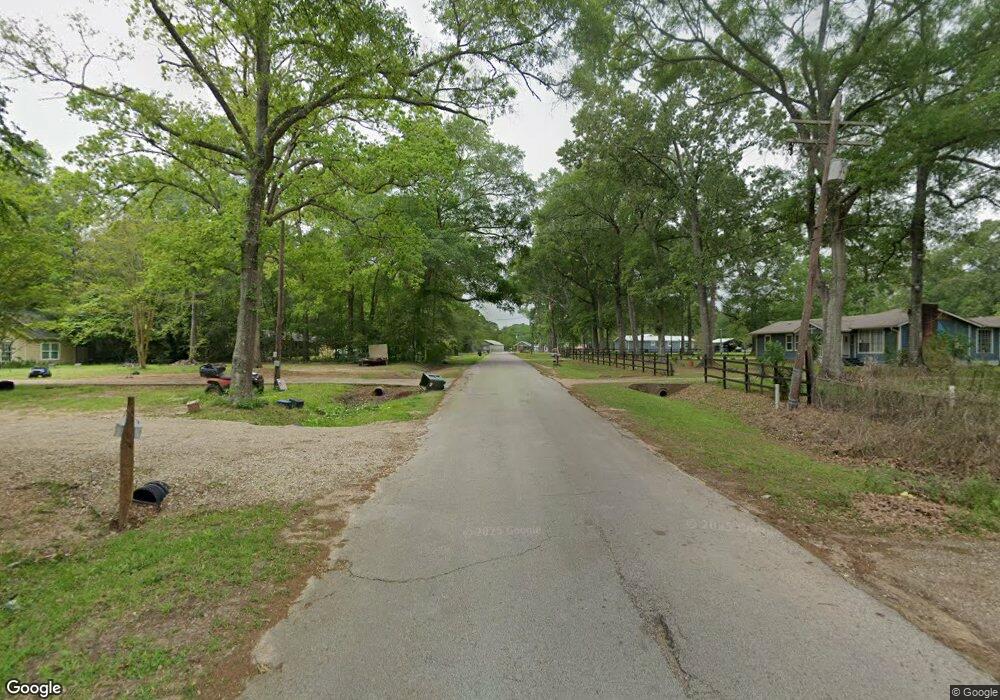
This lovely 1,200 +/- sf home with metal roof is located in nice country setting on 1.8-acres in Splendora ISD. Open concept floor plan with Carpet, spacious ceiling height, plant shelf and storage in main Living area. 3-Bedrooms-2-Baths (decorator tile surround at tub-showers). Carport attached (400+ sf), partially fenced.
Last Agent to Sell the Property
Anne Vickery & Associates Realty, LLC License #0641612 Listed on: 07/20/2019
Last Buyer's Agent
Bryan Voytek
RE/MAX GO License #0701654
| Date | Buyer | Sale Price | Title Company |
|---|---|---|---|
| Rojas Henry | -- | First American Title | |
| Davis Scott | -- | None Available | |
| Watts Randy | -- | None Available |
| Date | Status | Borrower | Loan Amount |
|---|---|---|---|
| Previous Owner | Watts Randy | $14,000 |
| Date | Event | Price | List to Sale | Price per Sq Ft |
|---|---|---|---|---|
| 11/03/2024 11/03/24 | Off Market | -- | -- | -- |
| 11/01/2019 11/01/19 | Sold | -- | -- | -- |
| 10/02/2019 10/02/19 | Pending | -- | -- | -- |
| 07/20/2019 07/20/19 | For Sale | $156,000 | -- | $116 / Sq Ft |
| Year | Tax Paid | Tax Assessment Tax Assessment Total Assessment is a certain percentage of the fair market value that is determined by local assessors to be the total taxable value of land and additions on the property. | Land | Improvement |
|---|---|---|---|---|
| 2025 | $4,237 | $229,730 | $59,753 | $169,977 |
| 2024 | $3,418 | $224,304 | -- | -- |
| 2023 | $3,418 | $186,920 | $59,760 | $127,160 |
| 2022 | $3,764 | $187,220 | $60,060 | $127,160 |
| 2021 | $2,892 | $139,150 | $13,130 | $126,020 |
| 2020 | $3,136 | $141,720 | $13,130 | $128,590 |
| 2019 | $307 | $13,130 | $13,130 | $0 |
| 2018 | $307 | $13,130 | $13,130 | $0 |
| 2017 | $307 | $13,130 | $13,130 | $0 |
| 2016 | $282 | $12,050 | $12,050 | $0 |
| 2015 | $55 | $2,650 | $2,650 | $0 |
| 2014 | $55 | $2,650 | $2,650 | $0 |
Seller's Agent in 2019
Trisha M. Cranney
Anne Vickery & Associates Realty, LLC
(832) 398-1021
36 Total Sales
B
Buyer's Agent in 2019
Bryan Voytek
RE/MAX GO
Source: Houston Association of REALTORS®
MLS Number: 56757931
APN: 7380-00-07500
Disclaimer: Certain information contained herein is derived from information provided by parties other than Homes.com. All information provided is deemed reliable, but is not guaranteed to be accurate and should be independently verified.
![]() Copyright 2026, Houston REALTORS® Information Service, Inc.
Copyright 2026, Houston REALTORS® Information Service, Inc.
The information provided is exclusively for consumers’ personal, non-commercial use, and may not be used for any purpose other than to identify prospective properties consumers may be interested in purchasing.
Information is deemed reliable but not guaranteed.
Ask me questions while you tour the home.