Total Views
1,629
39.65
Acres
$1,639
Price per Acre
1,727,285
Sq Ft Lot
About This Lot
This parcel is just under 40acres of land and is located in Deeth between Wells and Elko, Nevada. It has a private well and power lines on the property.
Listing Agent
Lostra Realty Brokerage Phone: (775) 397-0052 License #B.0002194 Listed on: 04/17/2025
Property Details
Property Type
- Land
Lot Details
- 39.65 Acre Lot
- Back to Public Ground
- Zoning described as OS
Utilities
- Private Water Source
- Well
Community Details
- Zx Other/None Subdivision
Listing and Financial Details
- Assessor Parcel Number 007-11C-015
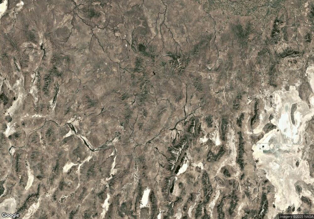
Map
Create a Home Valuation Report for This Property
The Home Valuation Report is an in-depth analysis detailing your home's value as well as a comparison with similar homes in the area
Tax History
| Year | Tax Paid | Tax Assessment Tax Assessment Total Assessment is a certain percentage of the fair market value that is determined by local assessors to be the total taxable value of land and additions on the property. | Land | Improvement |
|---|---|---|---|---|
| 2025 | $49 | $1,735 | $1,735 | -- |
| 2024 | $49 | $1,735 | $1,735 | $0 |
| 2023 | $46 | $1,735 | $1,735 | $0 |
| 2022 | $46 | $1,735 | $1,735 | $0 |
| 2021 | $49 | $1,735 | $1,735 | $0 |
| 2020 | $49 | $1,735 | $1,735 | $0 |
| 2019 | $129 | $1,735 | $1,735 | $0 |
| 2018 | $49 | $1,735 | $1,735 | $0 |
| 2017 | $44 | $1,735 | $1,735 | $0 |
| 2016 | $44 | $1,735 | $1,735 | $0 |
| 2015 | $44 | $1,735 | $1,735 | $0 |
| 2014 | $44 | $1,735 | $1,735 | $0 |
Source: Public Records
Property History
| Date | Event | Price | List to Sale | Price per Sq Ft |
|---|---|---|---|---|
| 04/17/2025 04/17/25 | For Sale | $65,000 | -- | -- |
Source: Elko County Association of REALTORS®
Source: Elko County Association of REALTORS®
MLS Number: 3626163
APN: 007-11C-015
Nearby Homes
- 25 Halleck
- 0 Ave Unit 3627273
- 00712Q006 S2n2nw4; Sec Lot: 33 Twn Block: 37n Rng: 58e
- 0 Sec 21 Twp 36n Rge 58e Mdb&m Unit 3622774
- 0 Scaup Ave
- 0 1st St Unit 3626202
- Caldwell Ave
- 0 Quinn River Blvd
- 007110011 Twn Block: 36n Rng: 58e
- TBD Reese River Blvd
- TBD Scaup Ave
- 0 Gadwall Ave
- 00 Reese River Blvd
- 0 024-009-002 White River Blvd
- 7527 White River Blvd
- 7535 Kings River Blvd
- 0 Mallard St
- TBD Pintail Ave
- 10739 Gadwall Ave
- 9492 4th St

Your Personal Tour Guide
Ask me questions while you tour the home.