
Seller's Agent in 2023
Bob Daugherty
Legend Realty Inc
(479) 530-4264
151 Total Sales
Estimated Value: $170,000
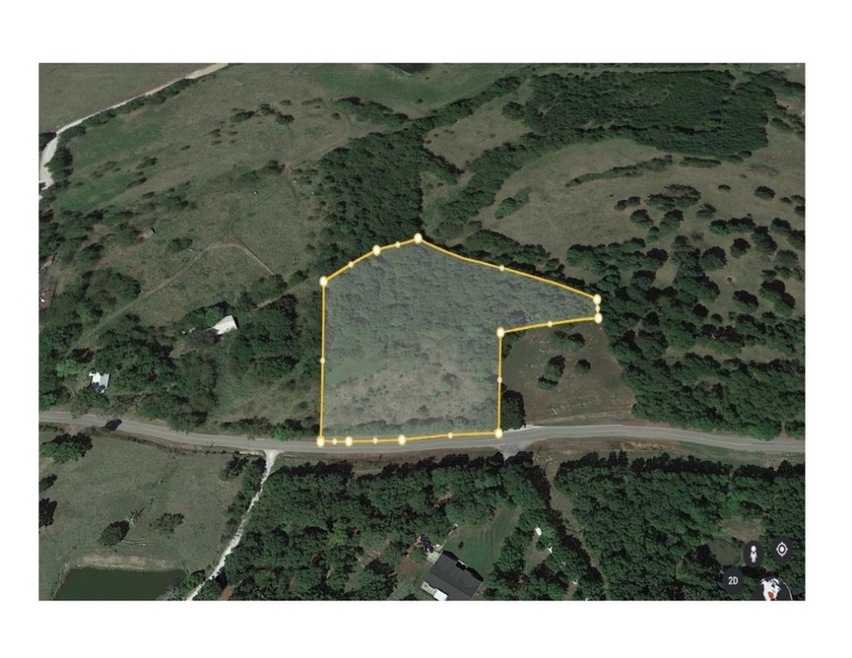
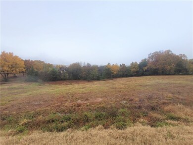
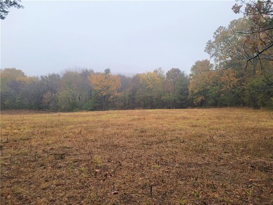
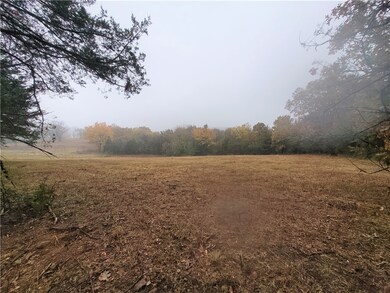
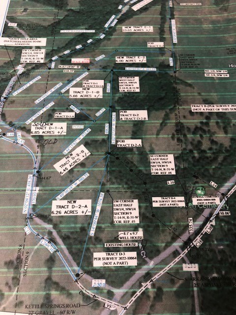
4 Acres +/- on Hwy 265 south of Hogeye in West Fork. Water tap paid for & successful perc on file. Partial wooded & open. Pick your building spot - it's ready to go! Agent owned
Last Agent to Sell the Property
Legend Realty Inc License #EB00053506 Listed on: 10/25/2022
| Date | Buyer | Sale Price | Title Company |
|---|---|---|---|
| Davis Steve R | -- | -- |
| Date | Event | Price | List to Sale | Price per Sq Ft |
|---|---|---|---|---|
| 05/03/2023 05/03/23 | Sold | $72,500 | -8.2% | -- |
| 03/27/2023 03/27/23 | Price Changed | $79,000 | -36.8% | -- |
| 03/27/2023 03/27/23 | Pending | -- | -- | -- |
| 10/25/2022 10/25/22 | For Sale | $125,000 | -- | -- |
| Year | Tax Paid | Tax Assessment Tax Assessment Total Assessment is a certain percentage of the fair market value that is determined by local assessors to be the total taxable value of land and additions on the property. | Land | Improvement |
|---|---|---|---|---|
| 2025 | $436 | $9,110 | $9,110 | $0 |
| 2024 | $436 | $9,110 | $9,110 | $0 |
| 2023 | $438 | $9,110 | $9,110 | $0 |
| 2022 | $538 | $10,390 | $3,750 | $6,640 |
| 2021 | $550 | $10,390 | $3,750 | $6,640 |
| 2020 | $491 | $10,390 | $3,750 | $6,640 |
| 2019 | $451 | $8,320 | $3,150 | $5,170 |
| 2018 | $451 | $8,320 | $3,150 | $5,170 |
| 2017 | $388 | $8,320 | $3,150 | $5,170 |
| 2016 | $416 | $8,320 | $3,150 | $5,170 |
| 2015 | $128 | $8,320 | $3,150 | $5,170 |
| 2014 | $203 | $8,300 | $4,580 | $3,720 |
Seller's Agent in 2023
Bob Daugherty
Legend Realty Inc
(479) 530-4264
151 Total Sales
Buyer's Agent in 2023
John Cox
Lindsey & Associates Inc
(479) 263-2007
7 Total Sales
Source: Northwest Arkansas Board of REALTORS®
MLS Number: 1232089
APN: 001-04003-000
Disclaimer: Certain information contained herein is derived from information provided by parties other than Homes.com. All information provided is deemed reliable, but is not guaranteed to be accurate and should be independently verified.
![]() IDX information is provided exclusively for personal, non-commercial use, and may not be used for any purpose other than to identify prospective properties consumers may be interested in purchasing. Information is deemed reliable but not guaranteed.
IDX information is provided exclusively for personal, non-commercial use, and may not be used for any purpose other than to identify prospective properties consumers may be interested in purchasing. Information is deemed reliable but not guaranteed.