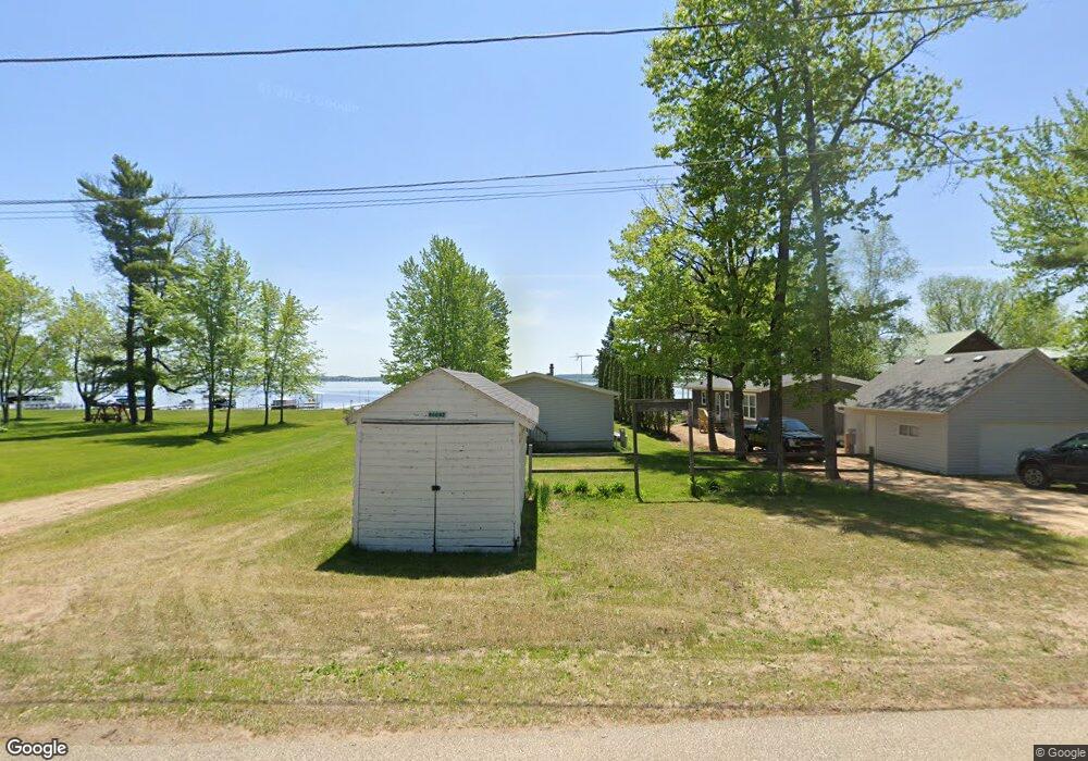
w 6047 N Bay Cir Shawano, WI 54166
Estimated Value: $356,000 - $467,000
3
Beds
2
Baths
1,196
Sq Ft
$354/Sq Ft
Est. Value
About This Home
This home is located at w 6047 N Bay Cir, Shawano, WI 54166 and is currently estimated at $423,227, approximately $353 per square foot. w 6047 N Bay Cir is a home located in Shawano County with nearby schools including Hillcrest Primary School, Brener Elementary School, and Shawano Community Middle School.
Ownership History
Date
Name
Owned For
Owner Type
Purchase Details
Closed on
Nov 22, 2022
Sold by
Tower Theodore T
Bought by
Theodore T. Tower and Theodore Jessica L. Tower
Current Estimated Value
Purchase Details
Closed on
Jul 29, 2015
Sold by
Zeller Terry
Bought by
Tower Theodore T
Purchase Details
Closed on
Nov 21, 2014
Sold by
Paula J Paula J and Kettner Paula
Bought by
Kettner Paula J and Paula J Kettner Revocable Living Trust
Create a Home Valuation Report for This Property
The Home Valuation Report is an in-depth analysis detailing your home's value as well as a comparison with similar homes in the area
Home Values in the Area
Average Home Value in this Area
Purchase History
| Date | Buyer | Sale Price | Title Company |
|---|---|---|---|
| Theodore T. Tower | $253,100 | Hooper Law Office, Llc | |
| Tower Theodore T | $187,000 | -- | |
| Kettner Paula J | $40,000 | Twohig Rietbrock Schneider |
Source: Public Records
Tax History Compared to Growth
Tax History
| Year | Tax Paid | Tax Assessment Tax Assessment Total Assessment is a certain percentage of the fair market value that is determined by local assessors to be the total taxable value of land and additions on the property. | Land | Improvement |
|---|---|---|---|---|
| 2024 | $4,539 | $298,200 | $165,000 | $133,200 |
| 2023 | $4,522 | $298,200 | $165,000 | $133,200 |
| 2022 | $4,016 | $298,200 | $165,000 | $133,200 |
| 2021 | $4,156 | $214,200 | $110,000 | $104,200 |
| 2020 | $3,873 | $214,200 | $110,000 | $104,200 |
| 2019 | $3,858 | $214,200 | $110,000 | $104,200 |
| 2018 | $3,722 | $214,200 | $110,000 | $104,200 |
| 2017 | $3,599 | $214,200 | $110,000 | $104,200 |
| 2016 | $3,641 | $214,200 | $110,000 | $104,200 |
| 2015 | $3,687 | $214,200 | $110,000 | $104,200 |
| 2014 | $371,315 | $214,200 | $110,000 | $104,200 |
| 2013 | $3,778 | $214,200 | $110,000 | $104,200 |
Source: Public Records
Map
Nearby Homes
- W6007 Lake Dr
- W5915 Lake Dr
- W5828 N Oak Park Cir
- N6321 Cattau Beach Dr
- W5424 N Shore Dr
- W6763 Curt Black Rd
- W6835 Curt Black Rd
- 0 Loon Lake Dr Unit 39
- 0 Loon Lake Dr Unit 25126501
- 0 S Line Road and Loon Lake Dr Unit 11587186
- 0 Northwood Dr Unit 50316281
- 0 S Line Road and Loon Lake Dr Unit 40
- W4977 Stark Rd
- W4978 Lulu Ct
- 0 Knollwood Ct Unit 50314383
- N6974 Lynwood Dr
- N6966 Lynwood Dr
- N6958 Lynwood Dr
- N6940 Menominee Dr
- N7031 Menominee Dr
- W6047 N Bay Cir
- W6051 N Bay Cir
- W6055 N Bay Cir
- W6037 N Bay Cir
- W6059 N Bay Cir
- W6033 N Bay Cir
- W6065 N Bay Cir
- w 6065 N Bay Cir
- 6050 N Bay Cir
- W6052 N Bay Cir
- W6050 N Bay Cir
- w 6050 N Bay Cir
- W6044 N Bay Cir
- W6029 N Bay Cir
- w 6029 N Bay Cir
- W6042 N Bay Cir
- W6047 Lake Dr
- W6069 N Bay Cir
- W6053 Lake Dr
- W6062 N Bay Cir