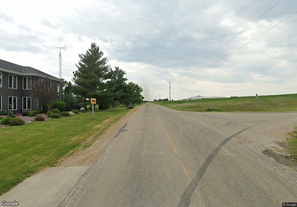
w 6999 County Road P Monroe, WI 53566
Estimated Value: $677,000
5
Beds
3
Baths
2,000
Sq Ft
$338/Sq Ft
Est. Value
About This Home
This home is located at w 6999 County Road P, Monroe, WI 53566 and is currently estimated at $677,000, approximately $338 per square foot. w 6999 County Road P is a home located in Green County.
Ownership History
Date
Name
Owned For
Owner Type
Purchase Details
Closed on
Aug 5, 2021
Sold by
Wolf Lentz S and Wolf Michelle A
Bought by
Wolf Lentz S and Wolf Michelle A
Current Estimated Value
Purchase Details
Closed on
Apr 26, 2017
Sold by
Wolf Lentz S and Wolf Michelle A
Bought by
Wolf Lentz S and Wolf Michelle A
Purchase Details
Closed on
Jan 15, 2013
Sold by
Wolf Lentz S
Bought by
Wolf Lentz S and Wolf Michelle A
Home Financials for this Owner
Home Financials are based on the most recent Mortgage that was taken out on this home.
Original Mortgage
$50,130
Outstanding Balance
$34,807
Interest Rate
3.34%
Mortgage Type
Unknown
Estimated Equity
$642,193
Create a Home Valuation Report for This Property
The Home Valuation Report is an in-depth analysis detailing your home's value as well as a comparison with similar homes in the area
Home Values in the Area
Average Home Value in this Area
Purchase History
| Date | Buyer | Sale Price | Title Company |
|---|---|---|---|
| Wolf Lentz S | -- | None Available | |
| Wolf Lentz S | -- | None Available | |
| Wolf Lentz S | -- | None Available |
Source: Public Records
Mortgage History
| Date | Status | Borrower | Loan Amount |
|---|---|---|---|
| Open | Wolf Lentz S | $50,130 | |
| Open | Wolf Lentz S | $678,030 |
Source: Public Records
Tax History Compared to Growth
Tax History
| Year | Tax Paid | Tax Assessment Tax Assessment Total Assessment is a certain percentage of the fair market value that is determined by local assessors to be the total taxable value of land and additions on the property. | Land | Improvement |
|---|---|---|---|---|
| 2024 | $7,064 | $357,500 | $35,900 | $321,600 |
| 2023 | $7,223 | $357,400 | $35,800 | $321,600 |
| 2022 | $7,061 | $357,400 | $35,800 | $321,600 |
| 2021 | $6,251 | $357,700 | $36,100 | $321,600 |
| 2020 | $6,168 | $357,700 | $36,100 | $321,600 |
| 2019 | $6,133 | $357,700 | $36,100 | $321,600 |
| 2018 | $6,132 | $357,500 | $35,900 | $321,600 |
| 2017 | $5,456 | $284,000 | $31,600 | $252,400 |
| 2016 | $4,665 | $237,500 | $31,600 | $205,900 |
| 2014 | $2,926 | $158,700 | $31,600 | $127,100 |
Source: Public Records
Map
Nearby Homes
- 12934 N Damascus Rd
- 12150 N Damascus Rd
- N2068 Alphorn Rd
- 312 Hillside Ct
- 3 Highview Dr
- N2097 Alphorn Rd
- N2097 Alphorn Rd Unit 1
- 106 W High St
- 433 Bostian Ct
- Lot 1 Alphorn Rd
- 202 S Main St
- TBD Miller Rd
- 217 Hancock Dr
- 619 Bridge St
- 204 Carver St
- TBD Illinois Route 26
- 430 Hubbard St
- W8192 Pilz Rd
- W8194 Pilz Rd
- N2090 Allen Rd
- 6889 County Road P
- W7090 County Road P
- w 6889 County Road P
- W6889 County Road P
- 681.59± Acres County Hwy P
- W6863 Deppeler Rd
- N449 Woodman Rd
- 0 County Road Hk
- 0 County Road Hk Unit 1648164
- N485 County Road Hk
- N283 Woodman Rd
- W7336 County Road P
- 75.84 Acres Woodman Rd
- N260 Woodman Rd
- W7383 County Road P
- N202 County Road Hk
- N724 Woodman Rd
