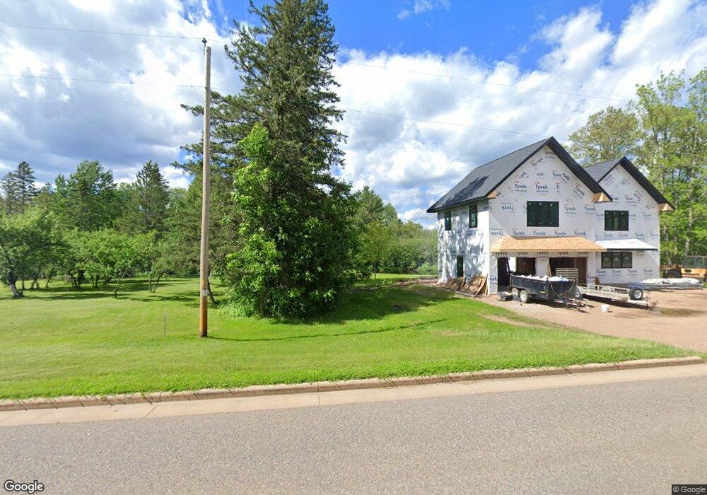
W10180 Cty J Deerbrook, WI 54424
Estimated Value: $339,000 - $493,475
--
Bed
--
Bath
--
Sq Ft
3.19
Acres
About This Home
This home is located at W10180 Cty J, Deerbrook, WI 54424 and is currently estimated at $416,238. W10180 Cty J is a home.
Ownership History
Date
Name
Owned For
Owner Type
Purchase Details
Closed on
Aug 28, 2024
Sold by
Judith Black Survivor'S Trust Dated June
Bought by
Gehrke Mark W and Gehrke Kristine M
Current Estimated Value
Purchase Details
Closed on
Sep 30, 2019
Sold by
Michael Black & Judith Black Revocable Trust
Bought by
Judith Black Survivor'S Trust Dated June 25 2
Home Financials for this Owner
Home Financials are based on the most recent Mortgage that was taken out on this home.
Interest Rate
3.64%
Create a Home Valuation Report for This Property
The Home Valuation Report is an in-depth analysis detailing your home's value as well as a comparison with similar homes in the area
Home Values in the Area
Average Home Value in this Area
Purchase History
| Date | Buyer | Sale Price | Title Company |
|---|---|---|---|
| Gehrke Mark W | $2,000 | Atty. Richard M. Olk | |
| Judith Black Survivor'S Trust Dated June 25 2 | $350,700 | -- |
Source: Public Records
Mortgage History
| Date | Status | Borrower | Loan Amount |
|---|---|---|---|
| Previous Owner | Judith Black Survivor'S Trust Dated June 25 2 | -- |
Source: Public Records
Tax History Compared to Growth
Tax History
| Year | Tax Paid | Tax Assessment Tax Assessment Total Assessment is a certain percentage of the fair market value that is determined by local assessors to be the total taxable value of land and additions on the property. | Land | Improvement |
|---|---|---|---|---|
| 2024 | $4,306 | $437,900 | $109,000 | $328,900 |
| 2023 | $4,540 | $329,500 | $85,800 | $243,700 |
| 2022 | $4,853 | $324,700 | $81,000 | $243,700 |
| 2021 | $4,495 | $324,700 | $81,000 | $243,700 |
| 2020 | $4,703 | $324,700 | $81,000 | $243,700 |
| 2019 | $4,655 | $324,700 | $81,000 | $243,700 |
| 2018 | $4,463 | $324,700 | $81,000 | $243,700 |
| 2017 | $4,712 | $324,700 | $81,000 | $243,700 |
| 2016 | $4,085 | $324,700 | $81,000 | $243,700 |
| 2015 | $4,256 | $324,700 | $81,000 | $243,700 |
| 2014 | $4,203 | $324,700 | $81,000 | $243,700 |
| 2013 | $4,524 | $324,700 | $81,000 | $243,700 |
Source: Public Records
Map
Nearby Homes
- ON Byers Rd
- ON Cth B
- N7791 Pence Lake Rd
- 0 Highway 45
- N7530 Black Oak Rd
- W9196 Birchwood Ln
- W10350 Deer Trail Ln
- W11230 Horseshoe Bend Rd
- W12289 County Road J
- N5450 Cth E
- N7680 Cth E
- N7873 Forest Rd
- W10212 Cth T
- N5134 Star Neva Rd
- N6569 Town Forest Rd
- n4704 U S 45
- 10774 Summit Lake Rd
- 0 Winter Rd Unit 201923
- 0 Winter Rd Unit 50276035
- W10774 Summit Lake Rd
- w 10145 Mill Ln
- W10190 County Road J
- W12590 County Road J
- W12577 County Road J
- W10190 Cth J
- W10194 County Road J
- N7245 Us Highway 45
- N7245 Us Highway 45
- W10194 Cth J
- 000 Duck Ln
- 000 County Road J
- W10210 Cth J
- W10210 Hwy J
- N7290 Duck Ln
- W10210 County Road J
- N7195 Duck Ln
- W10218 Cty J
- ON Foreman Rd Unit 2.68 Acres
- 10218 County Road J
- 10222 County Road J