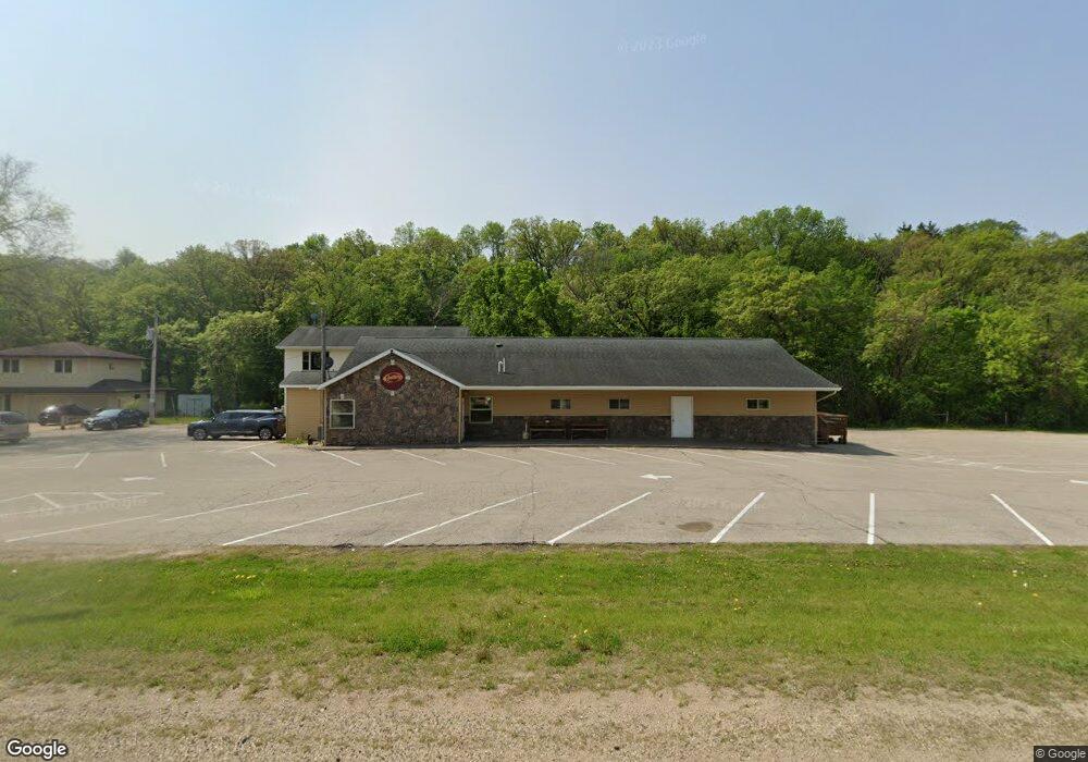
W10299 Us Highway 10 Prescott, WI 54021
Estimated Value: $633,725
--
Bed
--
Bath
--
Sq Ft
1.75
Acres
About This Home
This home is located at W10299 Us Highway 10, Prescott, WI 54021 and is currently estimated at $633,725. W10299 Us Highway 10 is a home located in Pierce County with nearby schools including Malone Elementary School, Prescott Middle School, and Prescott High School.
Ownership History
Date
Name
Owned For
Owner Type
Purchase Details
Closed on
Jan 9, 2020
Sold by
Hildebrandt Amy and Schommer Jason
Bought by
Kcswan Holdings Llc
Current Estimated Value
Home Financials for this Owner
Home Financials are based on the most recent Mortgage that was taken out on this home.
Original Mortgage
$255,000
Outstanding Balance
$225,303
Interest Rate
3.6%
Mortgage Type
New Conventional
Estimated Equity
$408,422
Purchase Details
Closed on
Jul 15, 2014
Sold by
Schommer Jason and Schommer Jason A
Bought by
Schommer Jason A and Hildebrandt Amy C
Purchase Details
Closed on
Mar 28, 2012
Sold by
Schommer Joseph H and Schommer Donna M
Bought by
Hildebrandt Amy and Hildebrandt Amy C
Home Financials for this Owner
Home Financials are based on the most recent Mortgage that was taken out on this home.
Original Mortgage
$528,400
Interest Rate
3.92%
Mortgage Type
Purchase Money Mortgage
Purchase Details
Closed on
Jan 14, 2000
Sold by
Schommer Joseph H and Schommer Donna M
Bought by
Hildebrandt Amy
Create a Home Valuation Report for This Property
The Home Valuation Report is an in-depth analysis detailing your home's value as well as a comparison with similar homes in the area
Home Values in the Area
Average Home Value in this Area
Purchase History
| Date | Buyer | Sale Price | Title Company |
|---|---|---|---|
| Kcswan Holdings Llc | $451,500 | None Available | |
| Schommer Jason A | -- | None Available | |
| Hildebrandt Amy | -- | None Available | |
| Hildebrandt Amy | -- | None Available |
Source: Public Records
Mortgage History
| Date | Status | Borrower | Loan Amount |
|---|---|---|---|
| Open | Kcswan Holdings Llc | $255,000 | |
| Previous Owner | Hildebrandt Amy | $528,400 |
Source: Public Records
Tax History Compared to Growth
Tax History
| Year | Tax Paid | Tax Assessment Tax Assessment Total Assessment is a certain percentage of the fair market value that is determined by local assessors to be the total taxable value of land and additions on the property. | Land | Improvement |
|---|---|---|---|---|
| 2024 | $9,625 | $630,400 | $35,000 | $595,400 |
| 2023 | $8,916 | $630,400 | $35,000 | $595,400 |
| 2022 | $7,966 | $630,400 | $35,000 | $595,400 |
| 2021 | $7,772 | $384,400 | $35,000 | $349,400 |
| 2020 | $8,411 | $384,400 | $35,000 | $349,400 |
| 2019 | $8,012 | $384,400 | $35,000 | $349,400 |
| 2018 | $7,644 | $384,400 | $35,000 | $349,400 |
| 2017 | $7,941 | $384,400 | $35,000 | $349,400 |
| 2016 | $7,517 | $384,400 | $35,000 | $349,400 |
| 2015 | $7,523 | $384,400 | $35,000 | $349,400 |
| 2014 | $7,476 | $384,400 | $35,000 | $349,400 |
| 2013 | $6,987 | $384,400 | $35,000 | $349,400 |
Source: Public Records
Map
Nearby Homes
- N5449 County Rd E
- W10664 566th Ave
- W10415 521st Ave
- xxxxx 566th Ave
- N5620 1090th St
- N5887 1110th St
- N4848 1110th St
- W10780 468th Ave
- W11011 470th Ave
- W11540 504th Ave
- W11651 State Road 35
- N4387 1115th St
- W11980 565th Ave
- W10005 710th Ave
- N5687 1210th St
- Lot 2 1098th St
- Lot 16 817 Ave
- W9600 770th Ave
- W9050 372nd Ave
- 490 Sea Wing Blvd
- W10303 Us Highway 10
- Lot 5 County Rd E
- Lot 8 560th Ave
- W10218 570th Ave
- Lot 12 568th Ave St
- W10302 560th Ave
- Lot 9 568th St
- Lot 11 568th St
- Lot 10 568th St
- 0 568th St Unit 3498682
- W10186 570th Ave
- 0 560th Ave Unit 4010649
- 0 560th Ave
- W10195 560th Ave
- W10594 560th Ave
- W10426 560th Ave
- W10434 560th Ave
- W10499 560th Ave
- N5885 1040th St
- N5751 County Road E