W10351 Walkers Rd Humbird, WI 54746
Estimated Value: $53,000 - $205,000
--
Bed
--
Bath
--
Sq Ft
5.05
Acres
About This Home
This home is located at W10351 Walkers Rd, Humbird, WI 54746 and is currently estimated at $98,983. W10351 Walkers Rd is a home with nearby schools including Lincoln Elementary School and Lincoln Junior/Senior High School.
Ownership History
Date
Name
Owned For
Owner Type
Purchase Details
Closed on
Sep 13, 2023
Sold by
Helgemo Galen T
Bought by
Smith Greg A and Smith Andrea M
Current Estimated Value
Purchase Details
Closed on
Sep 25, 2018
Sold by
Arnold Linda L
Bought by
Helgamo Galen T
Home Financials for this Owner
Home Financials are based on the most recent Mortgage that was taken out on this home.
Interest Rate
4.52%
Purchase Details
Closed on
Aug 21, 2018
Sold by
Arnold Dean L
Bought by
Arnold Linda L
Home Financials for this Owner
Home Financials are based on the most recent Mortgage that was taken out on this home.
Interest Rate
4.52%
Create a Home Valuation Report for This Property
The Home Valuation Report is an in-depth analysis detailing your home's value as well as a comparison with similar homes in the area
Home Values in the Area
Average Home Value in this Area
Purchase History
| Date | Buyer | Sale Price | Title Company |
|---|---|---|---|
| Smith Greg A | $30,000 | First American Title | |
| Helgamo Galen T | -- | None Available | |
| Arnold Linda L | $35,200 | -- |
Source: Public Records
Mortgage History
| Date | Status | Borrower | Loan Amount |
|---|---|---|---|
| Previous Owner | Arnold Linda L | -- |
Source: Public Records
Tax History Compared to Growth
Tax History
| Year | Tax Paid | Tax Assessment Tax Assessment Total Assessment is a certain percentage of the fair market value that is determined by local assessors to be the total taxable value of land and additions on the property. | Land | Improvement |
|---|---|---|---|---|
| 2024 | $619 | $35,800 | $21,000 | $14,800 |
| 2023 | $605 | $35,800 | $21,000 | $14,800 |
| 2022 | $640 | $35,800 | $21,000 | $14,800 |
| 2021 | $582 | $35,800 | $21,000 | $14,800 |
| 2020 | $619 | $35,200 | $20,400 | $14,800 |
| 2019 | $709 | $35,200 | $20,400 | $14,800 |
| 2018 | $715 | $35,200 | $20,400 | $14,800 |
| 2017 | $444 | $35,200 | $20,400 | $14,800 |
| 2016 | $711 | $35,200 | $20,400 | $14,800 |
| 2015 | -- | $35,200 | $20,400 | $14,800 |
| 2014 | -- | $35,200 | $20,400 | $14,800 |
| 2013 | -- | $35,200 | $20,400 | $14,800 |
| 2011 | -- | $28,900 | $20,400 | $8,500 |
Source: Public Records
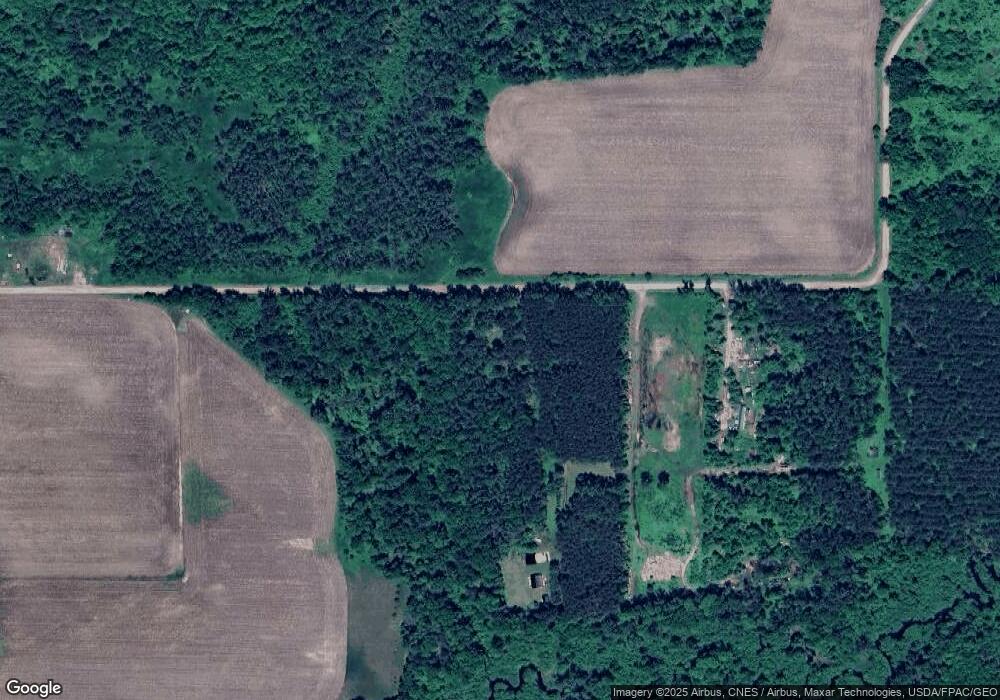
Map
Nearby Homes
- 0 Walkers Rd
- Cty Rd B
- W11421 Alderman St
- 0 Elker Rd
- 0 Elker Rd
- N2983 Bachelors Ave
- TBD Cr 132 N
- TBD 3 & 4 Bootjack Rd
- W8135 Sand Rd
- W11601 Sand Rd
- 202 E Clark St
- 200 W Charles St
- 0 U S 12
- 600 S Hayden St
- 218 E Main St
- W7645 Poertner Rd
- N10321 County Road K
- W10362 Lower Lake Dr
- 7512 Poertner Rd
- W11515 Wisconsin 95
- W10325 Walkers Rd
- W10331 Walkers Rd
- W10331 Walkers Rd
- W10311 Walkers Rd
- W10299 Walkers Rd
- W10470 Walkers Rd
- W10133 Walkers Rd
- W10506 Walkers Rd
- W10319 Walkers Rd
- 10319 Walkers Rd
- W10573 Walkers Rd
- W10273 Walkers Rd
- W10565 Walkers Rd
- W10540 Walkers Rd
- W10540 Walkers Rd
- N3298 Shiners Rd
- N3684 Van Kirk Rd
- 10652 Walkers Rd
- W10652 Walkers Rd
- N3384 Shiners Rd