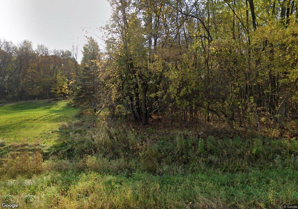
W10381 County Road D Holcombe, WI 54745
Estimated Value: $374,000 - $617,647
--
Bed
--
Bath
--
Sq Ft
25
Acres
About This Home
This home is located at W10381 County Road D, Holcombe, WI 54745 and is currently estimated at $495,824. W10381 County Road D is a home located in Rusk County with nearby schools including Holcombe Elementary School and Holcombe High School.
Ownership History
Date
Name
Owned For
Owner Type
Purchase Details
Closed on
Jul 29, 2024
Sold by
Leary Mark J
Bought by
Mark And Mary Leary Family Trust Dated S
Current Estimated Value
Purchase Details
Closed on
Oct 17, 2011
Sold by
Leary Mark J
Bought by
Leary Mark J and Leary Mary J
Home Financials for this Owner
Home Financials are based on the most recent Mortgage that was taken out on this home.
Original Mortgage
$193,500
Interest Rate
4.12%
Create a Home Valuation Report for This Property
The Home Valuation Report is an in-depth analysis detailing your home's value as well as a comparison with similar homes in the area
Home Values in the Area
Average Home Value in this Area
Purchase History
| Date | Buyer | Sale Price | Title Company |
|---|---|---|---|
| Mark And Mary Leary Family Trust Dated S | $275,000 | Lauren Long | |
| Mark And Mary Leary Family Trust Dated S | $300,400 | Lauren Long | |
| Leary Mark J | -- | -- |
Source: Public Records
Mortgage History
| Date | Status | Borrower | Loan Amount |
|---|---|---|---|
| Previous Owner | Leary Mark J | $193,500 |
Source: Public Records
Tax History Compared to Growth
Tax History
| Year | Tax Paid | Tax Assessment Tax Assessment Total Assessment is a certain percentage of the fair market value that is determined by local assessors to be the total taxable value of land and additions on the property. | Land | Improvement |
|---|---|---|---|---|
| 2024 | $5,070 | $275,000 | $75,000 | $200,000 |
| 2023 | $4,308 | $275,000 | $75,000 | $200,000 |
| 2022 | $4,257 | $275,000 | $75,000 | $200,000 |
| 2021 | $4,351 | $275,000 | $75,000 | $200,000 |
| 2020 | $4,756 | $275,000 | $75,000 | $200,000 |
| 2019 | $4,487 | $275,000 | $75,000 | $200,000 |
| 2018 | $4,105 | $275,000 | $75,000 | $200,000 |
| 2017 | $4,183 | $267,500 | $67,500 | $200,000 |
| 2016 | $4,290 | $267,500 | $67,500 | $200,000 |
| 2015 | $5,040 | $267,500 | $67,500 | $200,000 |
| 2014 | $4,442 | $267,500 | $67,500 | $200,000 |
| 2013 | $4,531 | $267,500 | $67,500 | $200,000 |
Source: Public Records
Map
Nearby Homes
- 9620 County Road D
- W9514 Stansbury Rd
- W9346 Woodlawn Dr
- Lots 17, 18, 19 Riverside Dr
- TBD 282nd Ave
- Tbd Unit LotWP001
- 27633 305th Ave
- 27183 & 27185 250th St
- 27183 & 27185 250th St Unit 27183/27185
- 27183 Other
- 27339 250th St
- 27320 256th St
- 27728 295th St
- Lot 7, 1.83 +/- Acre 295th Ave
- N2204 County Rd E
- Lot 28 Round Lake Rd
- N1676 Round Lake Rd
- 18444 290th Ave
- 2204 N County Rd E
- 30488 292nd St
- W10409 County Road D
- W10497 County Road D
- W10497 Hwy D
- N277 Tower Rd
- W10745 County Road D
- N251 Tower Rd
- Lots 1-10 Tower Rd
- W10523 County Road D
- W10523 Hwy D
- W10523 County Highway D
- W10364 Townline Rd
- 0 Town Line Rd Unit 1568241
- W10533 County Road D
- W10253 Hwy D
- W10253 County Road D
- N226 Bear Paw Rd
- 0 Ranch Rd Unit 3635214
- 0 Ranch Rd Unit 3897195
- 226 Bear Paw Rd
- N228 Bear Paw Rd
