W10491 Power Line Rd Phillips, WI 54555
Estimated Value: $75,872 - $192,000
Studio
--
Bath
--
Sq Ft
349,787
Sq Ft
About This Home
This home is located at W10491 Power Line Rd, Phillips, WI 54555 and is currently estimated at $123,957. W10491 Power Line Rd is a home with nearby schools including Phillips Elementary School, Phillips Middle School, and Phillips High School.
Ownership History
Date
Name
Owned For
Owner Type
Purchase Details
Closed on
Nov 9, 2021
Sold by
Gregor James E and Gregor Vanise M
Bought by
Gregor James E and Gregor Vanise M
Current Estimated Value
Purchase Details
Closed on
Nov 4, 2021
Sold by
Decker Virginia
Bought by
Gregor James E and Gregor Vanise M
Purchase Details
Closed on
Oct 11, 2021
Sold by
Theilman Velma Kay
Bought by
Gregor James E
Purchase Details
Closed on
Dec 29, 2016
Sold by
Thielman Velma Kay
Bought by
Gregor James E
Create a Home Valuation Report for This Property
The Home Valuation Report is an in-depth analysis detailing your home's value as well as a comparison with similar homes in the area
Purchase History
| Date | Buyer | Sale Price | Title Company |
|---|---|---|---|
| Gregor James E | $48,400 | -- | |
| Gregor James E | $30,000 | -- | |
| Decker Virginia L | -- | -- | |
| Gregor James E | $12,100 | -- | |
| Gregor James E | $23,300 | -- |
Source: Public Records
Tax History
| Year | Tax Paid | Tax Assessment Tax Assessment Total Assessment is a certain percentage of the fair market value that is determined by local assessors to be the total taxable value of land and additions on the property. | Land | Improvement |
|---|---|---|---|---|
| 2024 | $1,000 | $45,700 | $37,500 | $8,200 |
| 2023 | $898 | $45,700 | $37,500 | $8,200 |
| 2022 | $796 | $45,700 | $37,500 | $8,200 |
| 2021 | $776 | $45,700 | $37,500 | $8,200 |
| 2020 | $771 | $45,700 | $37,500 | $8,200 |
| 2019 | $684 | $45,700 | $37,500 | $8,200 |
| 2018 | $667 | $45,700 | $37,500 | $8,200 |
| 2017 | $675 | $47,600 | $39,300 | $8,300 |
| 2016 | $703 | $47,600 | $39,300 | $8,300 |
| 2015 | $833 | $47,500 | $39,300 | $8,200 |
| 2013 | $797 | $47,500 | $39,300 | $8,200 |
Source: Public Records
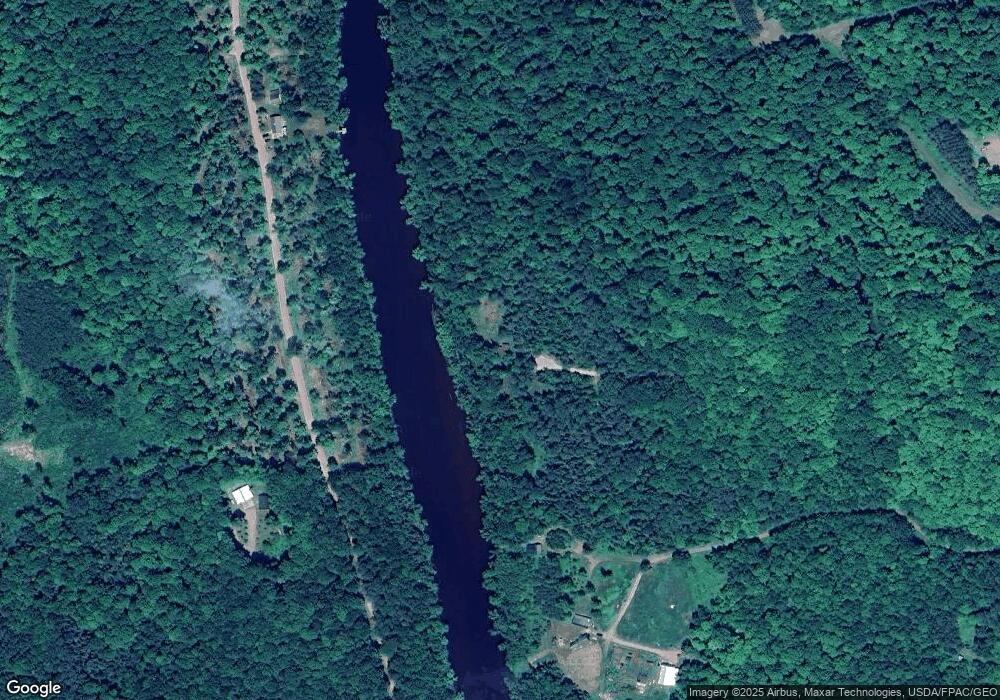
Map
Nearby Homes
- N9076 Old Bridge Rd
- N8981 W Island Rd
- N8973 W Island Rd
- N10660 Tower Rd
- N8919 E Island Rd
- N8357 Down River Rd
- W9285 County Rd S
- OFF Jacks Rd
- N3874 Lake of the Pines Rd
- W9106 Popple Hill Rd
- N8307 Birch Hill Rd
- N13275 N Fork Rd
- N8381 Birch Hill Rd
- N9479 Deer Lake Ln
- W9694 Hwy 70
- W9694 Wisconsin 70
- N9704 Deer Lake Ln Unit 6
- 120 Fayette St
- N13755 Crowley Shores Rd
- W1149X County Rd W
- W10475 Power Line Rd
- W10501 Power Line Rd
- W10459 Power Line Rd
- W10460 Power Line Rd
- N9935 Up River Rd
- N10030 Up River Rd
- N10130 Up River Rd
- 9104 Up River Rd
- W10515 Power Line Rd
- W10519 Power Line Rd
- W10431 Power Line Rd
- N10117 Up River Rd
- N9820 Up River Rd
- W10526 Power Line Rd
- W10416 Power Line Rd
- W10447 Power Line Rd
- W10527 Power Line Rd
- W10390 Power Line Rd
- W10423 Power Line Rd
- W10535 Power Line Rd
Your Personal Tour Guide
Ask me questions while you tour the home.