W10662 438th Ave Prescott, WI 54021
Estimated Value: $768,000 - $1,158,000
5
Beds
3
Baths
--
Sq Ft
5.3
Acres
About This Home
This home is located at W10662 438th Ave, Prescott, WI 54021 and is currently estimated at $886,941. W10662 438th Ave is a home located in Pierce County with nearby schools including Malone Elementary School, Prescott Middle School, and Prescott High School.
Ownership History
Date
Name
Owned For
Owner Type
Purchase Details
Closed on
Apr 7, 2009
Sold by
Us Bank National Assn
Bought by
Hinrichs David C and Hinrichs Gertrude E
Current Estimated Value
Home Financials for this Owner
Home Financials are based on the most recent Mortgage that was taken out on this home.
Original Mortgage
$224,000
Interest Rate
4.84%
Mortgage Type
New Conventional
Purchase Details
Closed on
Sep 23, 2008
Sold by
Lesmann Todd L
Bought by
Us Bank Na
Purchase Details
Closed on
Jan 31, 2005
Sold by
Johnson-Reiland Construction Inc
Bought by
Lesmann Todd L and Lesmann Laura
Home Financials for this Owner
Home Financials are based on the most recent Mortgage that was taken out on this home.
Original Mortgage
$560,000
Interest Rate
5.78%
Mortgage Type
New Conventional
Create a Home Valuation Report for This Property
The Home Valuation Report is an in-depth analysis detailing your home's value as well as a comparison with similar homes in the area
Home Values in the Area
Average Home Value in this Area
Purchase History
| Date | Buyer | Sale Price | Title Company |
|---|---|---|---|
| Hinrichs David C | $280,000 | None Available | |
| Us Bank Na | -- | None Available | |
| Lesmann Todd L | $840,150 | None Available |
Source: Public Records
Mortgage History
| Date | Status | Borrower | Loan Amount |
|---|---|---|---|
| Previous Owner | Hinrichs David C | $224,000 | |
| Previous Owner | Lesmann Todd L | $560,000 |
Source: Public Records
Tax History Compared to Growth
Tax History
| Year | Tax Paid | Tax Assessment Tax Assessment Total Assessment is a certain percentage of the fair market value that is determined by local assessors to be the total taxable value of land and additions on the property. | Land | Improvement |
|---|---|---|---|---|
| 2024 | $11,606 | $760,100 | $77,500 | $682,600 |
| 2023 | $10,750 | $760,100 | $77,500 | $682,600 |
| 2022 | $9,377 | $760,100 | $77,500 | $682,600 |
| 2021 | $8,275 | $422,500 | $77,500 | $345,000 |
| 2020 | $9,064 | $422,500 | $77,500 | $345,000 |
| 2019 | $8,527 | $422,500 | $77,500 | $345,000 |
| 2018 | $8,220 | $422,500 | $77,500 | $345,000 |
| 2017 | $8,586 | $422,500 | $77,500 | $345,000 |
| 2016 | $8,114 | $422,500 | $77,500 | $345,000 |
| 2015 | $8,148 | $422,500 | $77,500 | $345,000 |
| 2014 | $8,088 | $422,500 | $77,500 | $345,000 |
| 2013 | $7,566 | $422,500 | $77,500 | $345,000 |
Source: Public Records
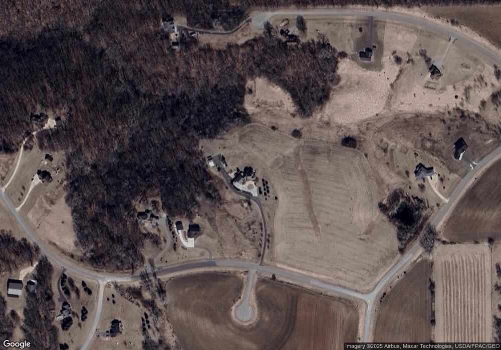
Map
Nearby Homes
- W10622 State Road 35
- W11011 470th Ave
- N4387 1115th St
- N4848 1110th St
- W10415 521st Ave
- W10664 566th Ave
- W11540 504th Ave
- N5620 1090th St
- N5449 County Rd E
- W11651 State Road 35
- N5608 County Rd E
- N5887 1110th St
- N5945 1000th St
- W9746 State Road 35
- TBD Ravenna Trail
- W11980 565th Ave
- 20430 Rhoda Ave
- N3752 County Road K
- 490 Sea Wing Blvd
- 2117 Pleasant Dr
- xxx 438th Ave
- W10810 438th Ave
- W10710 438th Ave
- W10XXXX 438th Ave
- XXX 1055th St
- N4485 1055th St
- N4493 1055th St
- XXX 438th
- XXX01 438 Ave
- W10594 438th Ave
- lot 32 W 438th Ave
- 10805 438th Ave
- W10741 435th Ave
- W10778 438th Ave
- xx 438th Ave
- xx 438th St
- N4479 1055th St
- W10784 438th Ave
- xxxx 438th
- W10749 438th Ave