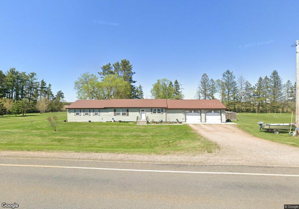
W10666 W 5th Ave Antigo, WI 54409
Estimated Value: $215,000 - $269,000
--
Bed
--
Bath
--
Sq Ft
1.7
Acres
About This Home
This home is located at W10666 W 5th Ave, Antigo, WI 54409 and is currently estimated at $243,828. W10666 W 5th Ave is a home located in Langlade County with nearby schools including Antigo High School, Peace Lutheran School, and All Saints Catholic School.
Ownership History
Date
Name
Owned For
Owner Type
Purchase Details
Closed on
May 11, 2021
Sold by
Gress Devin J
Bought by
Stiebs Roger
Current Estimated Value
Purchase Details
Closed on
Jan 25, 2017
Sold by
Laque Investments Llc
Bought by
Gress Devin J
Purchase Details
Closed on
Mar 31, 2014
Bought by
Laque Investments Llc
Purchase Details
Closed on
Jun 14, 2013
Sold by
Stern Rentals Llc
Bought by
Laque Investments Llc
Create a Home Valuation Report for This Property
The Home Valuation Report is an in-depth analysis detailing your home's value as well as a comparison with similar homes in the area
Home Values in the Area
Average Home Value in this Area
Purchase History
| Date | Buyer | Sale Price | Title Company |
|---|---|---|---|
| Stiebs Roger | $189,900 | -- | |
| Gress Devin J | $126,700 | -- | |
| Laque Investments Llc | -- | -- | |
| Laque Investments Llc | -- | -- |
Source: Public Records
Tax History Compared to Growth
Tax History
| Year | Tax Paid | Tax Assessment Tax Assessment Total Assessment is a certain percentage of the fair market value that is determined by local assessors to be the total taxable value of land and additions on the property. | Land | Improvement |
|---|---|---|---|---|
| 2024 | $2,409 | $199,200 | $20,600 | $178,600 |
| 2023 | $1,964 | $124,700 | $11,700 | $113,000 |
| 2022 | $1,975 | $124,700 | $11,700 | $113,000 |
| 2021 | $1,891 | $124,700 | $11,700 | $113,000 |
| 2020 | $2,047 | $124,700 | $11,700 | $113,000 |
| 2019 | $1,851 | $124,700 | $11,700 | $113,000 |
| 2018 | $1,834 | $124,700 | $11,700 | $113,000 |
| 2017 | $1,970 | $124,700 | $11,700 | $113,000 |
| 2016 | $1,114 | $73,100 | $11,700 | $61,400 |
| 2015 | $978 | $64,100 | $11,700 | $52,400 |
| 2014 | $895 | $58,900 | $11,700 | $47,200 |
| 2013 | $1,238 | $78,300 | $11,700 | $66,600 |
Source: Public Records
Map
Nearby Homes
- W10666 W 5th Ave
- W10650 W 5th Ave
- W10696 W 5th Ave
- W10619 W 5th Ave
- W10734 W 5th Ave
- On Mc Intosh Dr
- 6864 W Dinrail Ln
- W10488 Monarch Rd
- 2100 5th Ave
- W10661 1st Ave
- 5ACRES Western Ave
- W6914 State Highway 64
- W10670 1st Ave
- 2044 5th Ave
- W10654 1st Ave
- W10805 State Highway 64
- N3314 Western Rd
- 823 Western Ave
- W10747 W 5th Ave
- W10564 1st Ave