W10749 438th Ave Prescott, WI 54021
Estimated Value: $569,000 - $724,000
--
Bed
--
Bath
--
Sq Ft
4.54
Acres
About This Home
This home is located at W10749 438th Ave, Prescott, WI 54021 and is currently estimated at $674,430. W10749 438th Ave is a home located in Pierce County with nearby schools including Malone Elementary School, Prescott Middle School, and Prescott High School.
Ownership History
Date
Name
Owned For
Owner Type
Purchase Details
Closed on
Jul 15, 2022
Sold by
Bauman Eric A A and Bauman Eric K
Bought by
A. Bauman Eric and A. K. Erin
Current Estimated Value
Purchase Details
Closed on
Aug 26, 2005
Sold by
Johnson Reiland Construction Inc
Bought by
Bauman Eric A and Johnson Erin K
Home Financials for this Owner
Home Financials are based on the most recent Mortgage that was taken out on this home.
Original Mortgage
$292,000
Interest Rate
5.89%
Mortgage Type
New Conventional
Create a Home Valuation Report for This Property
The Home Valuation Report is an in-depth analysis detailing your home's value as well as a comparison with similar homes in the area
Home Values in the Area
Average Home Value in this Area
Purchase History
| Date | Buyer | Sale Price | Title Company |
|---|---|---|---|
| A. Bauman Eric | $597,100 | Robert L. Loberg, Loberg Law O | |
| Bauman Eric A | $365,000 | None Available |
Source: Public Records
Mortgage History
| Date | Status | Borrower | Loan Amount |
|---|---|---|---|
| Previous Owner | Bauman Eric A | $292,000 |
Source: Public Records
Tax History Compared to Growth
Tax History
| Year | Tax Paid | Tax Assessment Tax Assessment Total Assessment is a certain percentage of the fair market value that is determined by local assessors to be the total taxable value of land and additions on the property. | Land | Improvement |
|---|---|---|---|---|
| 2024 | $8,992 | $588,900 | $73,700 | $515,200 |
| 2023 | $8,329 | $588,900 | $73,700 | $515,200 |
| 2022 | $7,200 | $588,900 | $73,700 | $515,200 |
| 2021 | $6,226 | $321,800 | $73,700 | $248,100 |
| 2020 | $6,847 | $321,800 | $73,700 | $248,100 |
| 2019 | $6,432 | $321,800 | $73,700 | $248,100 |
| 2018 | $6,205 | $321,800 | $73,700 | $248,100 |
| 2017 | $6,491 | $321,800 | $73,700 | $248,100 |
| 2016 | $6,129 | $321,800 | $73,700 | $248,100 |
| 2015 | $6,157 | $321,800 | $73,700 | $248,100 |
| 2014 | $6,245 | $321,800 | $73,700 | $248,100 |
| 2013 | $5,838 | $321,800 | $73,700 | $248,100 |
Source: Public Records
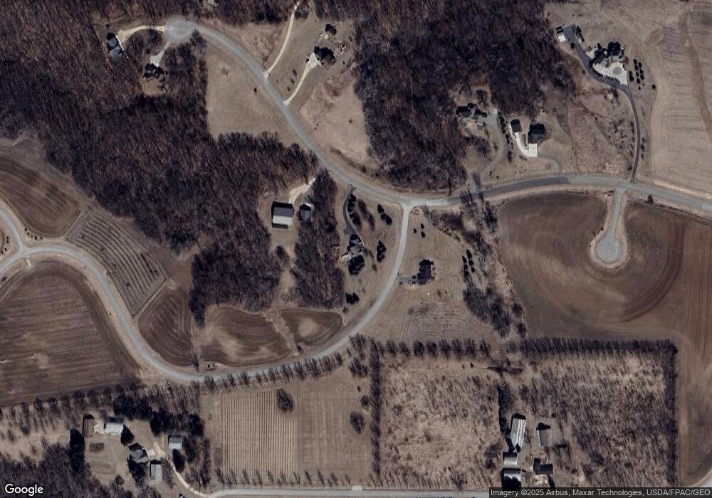
Map
Nearby Homes
- W11011 470th Ave
- N4387 1115th St
- N4848 1110th St
- W10415 521st Ave
- W10664 566th Ave
- W11540 504th Ave
- N5620 1090th St
- W11651 State Road 35
- N5449 County Rd E
- N5608 County Rd E
- N5887 1110th St
- W9746 State Road 35
- TBD Ravenna Trail
- N5945 1000th St
- W11980 565th Ave
- 20430 Rhoda Ave
- 21211 Red Wing Blvd
- 490 Sea Wing Blvd
- XXX Red Wing Blvd
- 2117 Pleasant Dr
- 10805 438th Ave
- W10741 435th Ave
- XXX01 438 Ave
- xxx 435th St
- xxx14 438th Ave
- W10XXXX 438th Ave
- W10810 438th Ave
- W10710 438th Ave
- W10778 438th Ave
- xxx15 438th Ave
- xxx 438th Ave
- W10805 438th Ave
- xxx 435th Ave
- N4299 1050th St
- W10784 438th Ave
- N4335 1050th St
- W10662 438th Ave
- XXX 1062nd St
- xxx17 438th Ave
- N4322 1050th St