Estimated Value: $132,247 - $237,000
--
Bed
--
Bath
--
Sq Ft
2.2
Acres
About This Home
This home is located at W1082 Spencer Rd, Loyal, WI 54446 and is currently estimated at $177,812. W1082 Spencer Rd is a home located in Clark County with nearby schools including Spencer Elementary School and Spencer Middle/High School.
Ownership History
Date
Name
Owned For
Owner Type
Purchase Details
Closed on
May 1, 2014
Sold by
Steven Steven and Konig Steven K
Bought by
B0ushack Andrew J
Current Estimated Value
Home Financials for this Owner
Home Financials are based on the most recent Mortgage that was taken out on this home.
Original Mortgage
$96,326
Outstanding Balance
$73,631
Interest Rate
4.41%
Mortgage Type
Purchase Money Mortgage
Estimated Equity
$104,181
Create a Home Valuation Report for This Property
The Home Valuation Report is an in-depth analysis detailing your home's value as well as a comparison with similar homes in the area
Home Values in the Area
Average Home Value in this Area
Purchase History
| Date | Buyer | Sale Price | Title Company |
|---|---|---|---|
| B0ushack Andrew J | $92,000 | Gowey Abstract And Title Co |
Source: Public Records
Mortgage History
| Date | Status | Borrower | Loan Amount |
|---|---|---|---|
| Open | B0ushack Andrew J | $96,326 |
Source: Public Records
Tax History Compared to Growth
Tax History
| Year | Tax Paid | Tax Assessment Tax Assessment Total Assessment is a certain percentage of the fair market value that is determined by local assessors to be the total taxable value of land and additions on the property. | Land | Improvement |
|---|---|---|---|---|
| 2024 | $1,377 | $75,100 | $5,600 | $69,500 |
| 2023 | $1,180 | $75,100 | $5,600 | $69,500 |
| 2022 | $1,114 | $75,100 | $5,600 | $69,500 |
| 2021 | $1,056 | $75,100 | $5,600 | $69,500 |
| 2020 | $1,189 | $60,800 | $5,600 | $55,200 |
| 2019 | $1,109 | $60,800 | $5,600 | $55,200 |
| 2018 | $1,090 | $60,800 | $5,600 | $55,200 |
| 2017 | $129 | $60,800 | $5,600 | $55,200 |
| 2016 | $1,090 | $60,800 | $5,600 | $55,200 |
| 2015 | -- | $60,800 | $5,600 | $55,200 |
| 2014 | -- | $60,800 | $5,600 | $55,200 |
| 2013 | -- | $60,800 | $5,600 | $55,200 |
| 2011 | -- | $57,500 | $5,600 | $51,900 |
Source: Public Records
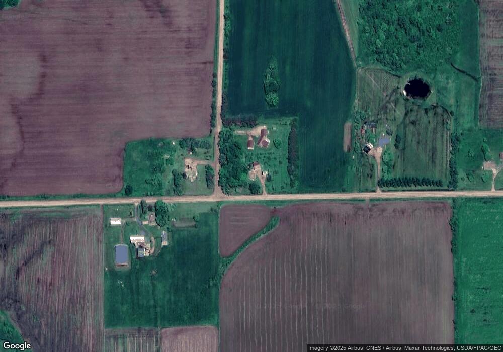
Map
Nearby Homes
- Lot 10 Woodsview Rd
- Lot 4 and 5 Fairhaven Ave
- 815 W Roberts St
- N10409 Hiline Ave
- 0 Hiline Ave Unit 22504296
- 205 W Clark St
- 203 W Mill St
- 0 201 W Dove St Unit 22505694
- 203 Kobs St
- 306 E Clark St
- 407 N Douglas St
- 309 E Clark St
- 803 E Birch St
- 203536 Sun Ridge Dr
- 103447 County Road C
- 101790 Buxton Rd
- W839 W Rosewood Dr Unit Lot 4
- 0 Chickadee Rd Unit 22505635
- N10160 Sparrow Ave
- 314 N Division St
- W1082 W Spencer Rd
- N9324 Groveside Ave
- N9311 Groveside Ave
- W1034 Spencer Rd
- W1135 Spencer Rd
- W1280 Spencer Rd
- W1280 Spencer Rd
- W934 Spencer Rd
- W906 Spencer Rd
- W890 Spencer Rd
- W1288 Spencer Rd
- N9693 Groveside Ave
- N9693 Groveside Ave
- W1312 Spencer Rd
- N9428 Division Ave
- W1309 Spencer Rd
- W1135 State Highway 98
- W1135 State Highway 98
- W1135 State Highway 98
- W1135 State Highway 98