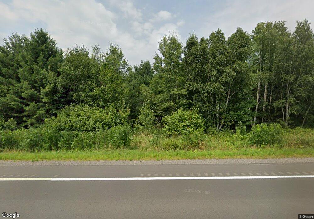
W11774 Us Highway 10 Humbird, WI 54746
Estimated Value: $301,000 - $373,000
3
Beds
2
Baths
--
Sq Ft
2.5
Acres
About This Home
This home is located at W11774 Us Highway 10, Humbird, WI 54746 and is currently estimated at $340,240. W11774 Us Highway 10 is a home located in Clark County with nearby schools including Lincoln Elementary School and Lincoln Junior/Senior High School.
Ownership History
Date
Name
Owned For
Owner Type
Purchase Details
Closed on
Jun 13, 2022
Sold by
Michael Mazola
Bought by
Mayer Randy R and Mayer Holly N
Current Estimated Value
Home Financials for this Owner
Home Financials are based on the most recent Mortgage that was taken out on this home.
Original Mortgage
$239,580
Outstanding Balance
$224,376
Interest Rate
5.3%
Mortgage Type
FHA
Estimated Equity
$115,864
Create a Home Valuation Report for This Property
The Home Valuation Report is an in-depth analysis detailing your home's value as well as a comparison with similar homes in the area
Home Values in the Area
Average Home Value in this Area
Purchase History
| Date | Buyer | Sale Price | Title Company |
|---|---|---|---|
| Mayer Randy R | $244,000 | New Title Company Name |
Source: Public Records
Mortgage History
| Date | Status | Borrower | Loan Amount |
|---|---|---|---|
| Open | Mayer Randy R | $239,580 |
Source: Public Records
Tax History Compared to Growth
Tax History
| Year | Tax Paid | Tax Assessment Tax Assessment Total Assessment is a certain percentage of the fair market value that is determined by local assessors to be the total taxable value of land and additions on the property. | Land | Improvement |
|---|---|---|---|---|
| 2024 | $3,720 | $183,900 | $19,300 | $164,600 |
| 2023 | $3,391 | $183,900 | $19,300 | $164,600 |
| 2022 | $4,639 | $235,300 | $70,700 | $164,600 |
| 2021 | $4,459 | $235,300 | $70,700 | $164,600 |
| 2020 | $4,163 | $186,100 | $51,900 | $134,200 |
| 2019 | $4,101 | $186,100 | $51,900 | $134,200 |
| 2018 | $3,784 | $180,000 | $51,900 | $128,100 |
| 2017 | $1,221 | $180,000 | $51,900 | $128,100 |
| 2016 | $4,080 | $180,000 | $51,900 | $128,100 |
| 2015 | -- | $180,000 | $51,900 | $128,100 |
| 2014 | -- | $180,000 | $51,900 | $128,100 |
| 2013 | -- | $180,000 | $51,900 | $128,100 |
| 2011 | -- | $180,000 | $51,900 | $128,100 |
Source: Public Records
Map
Nearby Homes
- W11421 Alderman St
- 0 Walkers Rd
- 218 E Main St
- 0 Elker Rd
- 0 Elker Rd
- 000 Oak Dr
- +/- 13 Acres County B Monthei Rd
- Tbd Crossover Rd
- 000 Us Highway 10
- N14253 McGower Rd
- W11601 Sand Rd
- 002 Old Highway 10
- Tbd Hwy 12 27
- TBD State Highway 12 27
- 001 Old Highway 10
- TBD N Center Rd
- 000 Old Highway 10
- W14702 Old Highway 10
- 14707 Old Highway 10
- N2983 Bachelors Ave
- W11774 Us Highway 10
- W11774 Us Highway 10
- N4247 Square Rd
- 0 Fairview Rd Unit 1538505
- 0 Fairview Rd Unit 1531038
- 0 Fairview Rd Unit 21810018
- W11452 Square Rd
- W11398 Square Rd
- W11376 Square Rd
- W11396 Square Rd
- W11600 Fairview Rd
- W4295 Square Rd
- xxx Us Hwy 10 West Bluff Rd
- N4502 Bluff Rd W
- W11661 Fairview Rd
- N4021 Square Rd
- W11210 Square Rd
- N4056 W Bluff Rd
- N4332 Square Rd
- N4550 W Bluff Rd
