W1180 Decatur Albany Rd Brodhead, WI 53520
Estimated Value: $442,000 - $524,000
--
Bed
--
Bath
--
Sq Ft
2.43
Acres
About This Home
This home is located at W1180 Decatur Albany Rd, Brodhead, WI 53520 and is currently estimated at $486,287. W1180 Decatur Albany Rd is a home located in Green County with nearby schools including Albany Elementary School, Albany Community Middle School, and Albany High School.
Ownership History
Date
Name
Owned For
Owner Type
Purchase Details
Closed on
Dec 15, 2006
Sold by
Kustom Home Builders Inc
Bought by
Sherman Milton O and Sherman Suzette M
Current Estimated Value
Home Financials for this Owner
Home Financials are based on the most recent Mortgage that was taken out on this home.
Original Mortgage
$30,000
Outstanding Balance
$17,986
Interest Rate
6.36%
Mortgage Type
Credit Line Revolving
Estimated Equity
$468,301
Create a Home Valuation Report for This Property
The Home Valuation Report is an in-depth analysis detailing your home's value as well as a comparison with similar homes in the area
Home Values in the Area
Average Home Value in this Area
Purchase History
| Date | Buyer | Sale Price | Title Company |
|---|---|---|---|
| Sherman Milton O | $240,000 | None Available |
Source: Public Records
Mortgage History
| Date | Status | Borrower | Loan Amount |
|---|---|---|---|
| Open | Sherman Milton O | $30,000 |
Source: Public Records
Tax History Compared to Growth
Tax History
| Year | Tax Paid | Tax Assessment Tax Assessment Total Assessment is a certain percentage of the fair market value that is determined by local assessors to be the total taxable value of land and additions on the property. | Land | Improvement |
|---|---|---|---|---|
| 2024 | $6,052 | $399,000 | $63,300 | $335,700 |
| 2023 | $4,745 | $399,000 | $63,300 | $335,700 |
| 2022 | $4,919 | $228,800 | $37,700 | $191,100 |
| 2021 | $4,862 | $228,800 | $37,700 | $191,100 |
| 2020 | $4,560 | $228,800 | $37,700 | $191,100 |
| 2019 | $4,562 | $228,800 | $37,700 | $191,100 |
| 2018 | $4,667 | $225,200 | $37,700 | $187,500 |
| 2017 | $4,651 | $229,600 | $42,100 | $187,500 |
| 2016 | $4,530 | $229,600 | $42,100 | $187,500 |
| 2014 | $4,334 | $229,600 | $42,100 | $187,500 |
Source: Public Records
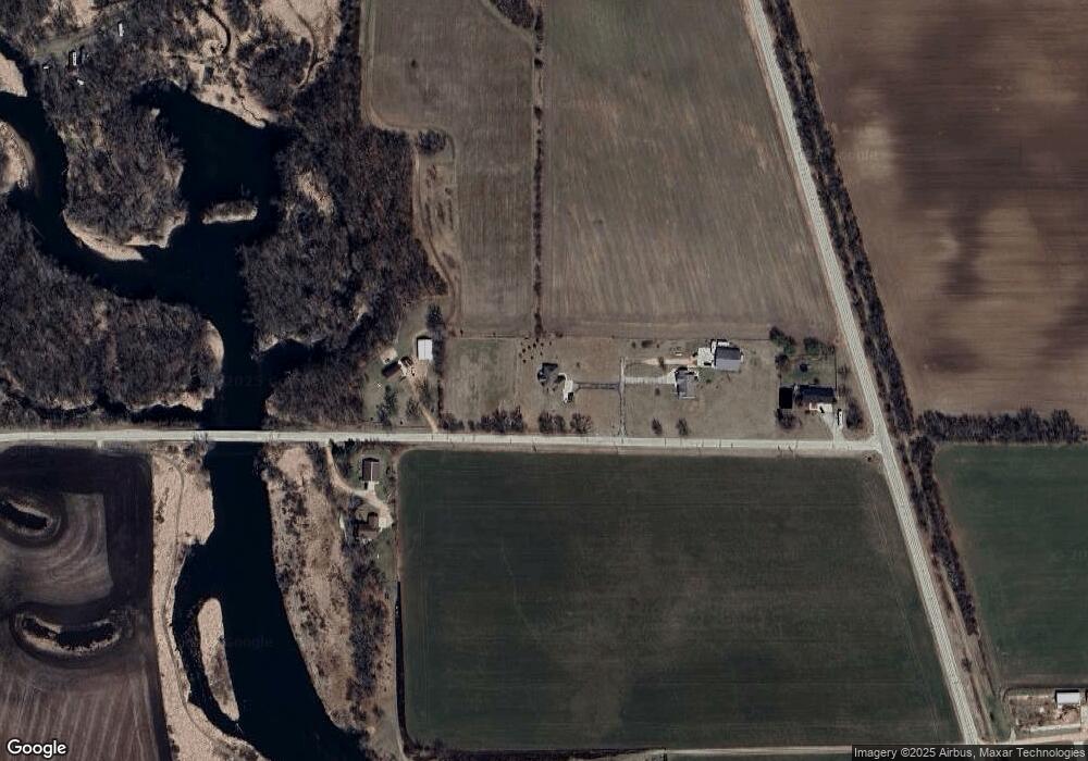
Map
Nearby Homes
- 702 6th St
- 308 S Mechanic St
- 211 Warren St
- 303 S Park St
- Lot 24 Oak Hill Cir
- Lt2 Wisconsin 59
- 303 N Summit St
- 302 N 5th Ave
- L61 Country Club Dr
- Lt1 2nd St
- Lt4 N Cincinnati St
- Lt3 N Cincinnati St
- N4140 Pine St Unit 1
- N4142 Eagle Dr
- W923 Cottage Rd
- N5585 Shea Ln
- N3932 Park Rd
- Lot 22 Bud Ln
- N3952 Brown Deer Dr
- W1529 Ware Rd
- W1174 Decatur Albany Rd
- w 1174 Decatur Albany Rd
- W1210 Decatur Albany Rd
- W1233 Decatur Albany Rd
- w 1134 Decatur Albany Rd
- W1134 Decatur Albany Rd
- N5011 County Road E
- N4836 County Road E
- W1088 Trail Rd
- W1095 Trail Rd
- W1095 Trail Rd
- W1071 Trail Rd
- W1071 Trail Rd
- W1054 Trail Rd
- N4619 County Road E
- N4619 Highway E
- W1049 Trail Rd
- W1016 Trail Rd
- W1029 Trail Rd
- N4710 County Road E