Estimated Value: $196,000 - $244,000
--
Bed
1
Bath
--
Sq Ft
7.63
Acres
About This Home
This home is located at W11962 Blom Rd, Blair, WI 54616 and is currently estimated at $212,815. W11962 Blom Rd is a home located in Trempealeau County with nearby schools including Blair-Taylor Elementary School, Blair-Taylor Middle/High School, and Pine Highll Amish School.
Ownership History
Date
Name
Owned For
Owner Type
Purchase Details
Closed on
Jul 13, 2020
Sold by
Senn Robert W and Senn April D
Bought by
Stone Miranda M and Stone Timothy C
Current Estimated Value
Home Financials for this Owner
Home Financials are based on the most recent Mortgage that was taken out on this home.
Original Mortgage
$159,065
Outstanding Balance
$141,048
Interest Rate
3.1%
Mortgage Type
FHA
Estimated Equity
$71,767
Purchase Details
Closed on
Jun 10, 2010
Sold by
Johnson Duane A and Johnson Greta
Bought by
Johnson Gary S and Johnson Debra L
Create a Home Valuation Report for This Property
The Home Valuation Report is an in-depth analysis detailing your home's value as well as a comparison with similar homes in the area
Home Values in the Area
Average Home Value in this Area
Purchase History
| Date | Buyer | Sale Price | Title Company |
|---|---|---|---|
| Stone Miranda M | $162,000 | None Available | |
| Johnson Gary S | -- | None Available |
Source: Public Records
Mortgage History
| Date | Status | Borrower | Loan Amount |
|---|---|---|---|
| Open | Stone Miranda M | $159,065 |
Source: Public Records
Tax History Compared to Growth
Tax History
| Year | Tax Paid | Tax Assessment Tax Assessment Total Assessment is a certain percentage of the fair market value that is determined by local assessors to be the total taxable value of land and additions on the property. | Land | Improvement |
|---|---|---|---|---|
| 2024 | $1,582 | $93,800 | $29,200 | $64,600 |
| 2023 | $1,598 | $93,800 | $29,200 | $64,600 |
| 2022 | $1,611 | $93,800 | $29,200 | $64,600 |
| 2021 | $1,411 | $93,800 | $29,200 | $64,600 |
| 2020 | $1,370 | $33,670 | $29,200 | $4,470 |
| 2019 | $1,074 | $62,500 | $17,800 | $44,700 |
| 2018 | $1,415 | $68,000 | $29,600 | $38,400 |
| 2017 | $1,420 | $68,000 | $29,600 | $38,400 |
| 2016 | $1,324 | $68,000 | $29,600 | $38,400 |
| 2015 | $1,349 | $68,000 | $29,600 | $38,400 |
| 2014 | $1,379 | $68,000 | $29,600 | $38,400 |
| 2011 | $1,347 | $68,100 | $29,700 | $38,400 |
Source: Public Records
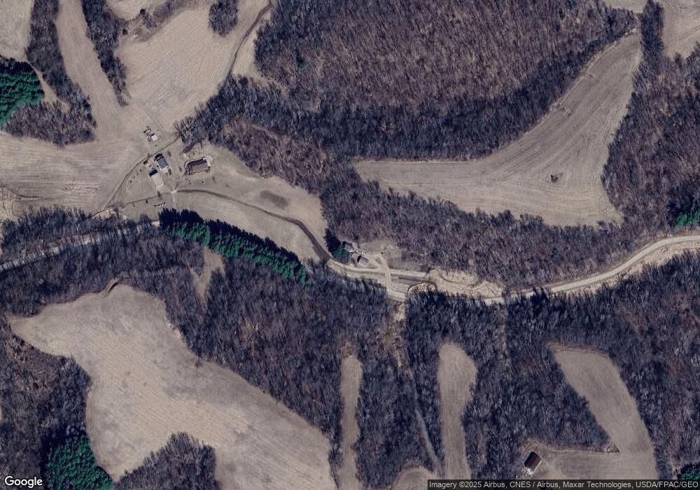
Map
Nearby Homes
- N28881 County Rd S
- N27146 County Rd S
- N27046 County Rd S
- 00 Joe Coulee Rd
- N26144 Joe Coulee Rd
- 313 S Park Rd
- 612 E Broadway St
- 217 S Pearl St
- 328 S Urberg Ave
- 102 S Peterson Ave
- N34701 County Rd S
- W15971 Cedar Rd
- W15655 Company Rd
- 21 Hanson St
- 330 2nd St
- 341 2nd St
- 451 2nd St
- XX Vold Rd
- 225 N Highland Ave
- 011 Lot 11 Elm Ln
- W11962 Blom Rd
- W11959 Blom Rd
- Blom Rd
- W12323 Blom Rd
- 11588 Tappen Coulee Rd
- W11544 Tappen Coulee Rd
- W11588 Tappen Coulee Rd
- W12021 Tappen Coulee Rd
- W11580 Tappen Coulee Rd
- W12183 Tappen Coulee Rd
- W11762 Tappen Coulee Rd
- W12291 Tappen Coulee Rd
- 0 Tappen Coulee Rd
- W11662 Knutson Ln
- W11750 Knutson Ln Unit W11750
- N28533 Bixby Rd
- N28026 Moen Rd
- W11802 Tappen Coulee Rd
- 0 Bixby Rd
- N28427 Bixby Rd