W1201 High Pointe Cir Rubicon, WI 53078
Estimated Value: $476,531 - $525,000
--
Bed
--
Bath
--
Sq Ft
0.6
Acres
About This Home
This home is located at W1201 High Pointe Cir, Rubicon, WI 53078 and is currently estimated at $501,883. W1201 High Pointe Cir is a home located in Dodge County with nearby schools including Hartford High School and St. Kilian School.
Ownership History
Date
Name
Owned For
Owner Type
Purchase Details
Closed on
May 17, 2017
Sold by
Mccollough Richard T and Mccollough Raquel M
Bought by
Schultz James J and Schultz Mellssa A
Current Estimated Value
Home Financials for this Owner
Home Financials are based on the most recent Mortgage that was taken out on this home.
Original Mortgage
$204,000
Outstanding Balance
$169,651
Interest Rate
4.1%
Mortgage Type
New Conventional
Estimated Equity
$332,232
Purchase Details
Closed on
Jul 27, 2015
Sold by
Thompson Matthew K and Thompson Tracy E
Bought by
Mccollough Richard T and Mccollough Raquel M
Home Financials for this Owner
Home Financials are based on the most recent Mortgage that was taken out on this home.
Original Mortgage
$198,320
Interest Rate
4.02%
Mortgage Type
New Conventional
Create a Home Valuation Report for This Property
The Home Valuation Report is an in-depth analysis detailing your home's value as well as a comparison with similar homes in the area
Home Values in the Area
Average Home Value in this Area
Purchase History
| Date | Buyer | Sale Price | Title Company |
|---|---|---|---|
| Schultz James J | -- | None Available | |
| Mccollough Richard T | $247,900 | None Available |
Source: Public Records
Mortgage History
| Date | Status | Borrower | Loan Amount |
|---|---|---|---|
| Open | Schultz James J | $204,000 | |
| Previous Owner | Mccollough Richard T | $198,320 |
Source: Public Records
Tax History Compared to Growth
Tax History
| Year | Tax Paid | Tax Assessment Tax Assessment Total Assessment is a certain percentage of the fair market value that is determined by local assessors to be the total taxable value of land and additions on the property. | Land | Improvement |
|---|---|---|---|---|
| 2024 | $3,959 | $314,000 | $43,300 | $270,700 |
| 2023 | $3,648 | $314,000 | $43,300 | $270,700 |
| 2022 | $3,687 | $314,000 | $43,300 | $270,700 |
| 2021 | $3,460 | $235,100 | $40,100 | $195,000 |
| 2020 | $3,604 | $235,100 | $40,100 | $195,000 |
| 2019 | $3,580 | $235,100 | $40,100 | $195,000 |
| 2018 | $3,621 | $235,100 | $40,100 | $195,000 |
| 2017 | $3,729 | $235,100 | $40,100 | $195,000 |
| 2016 | $3,252 | $201,000 | $40,100 | $160,900 |
| 2015 | $3,153 | $193,000 | $40,100 | $152,900 |
| 2014 | $3,215 | $193,000 | $40,100 | $152,900 |
Source: Public Records
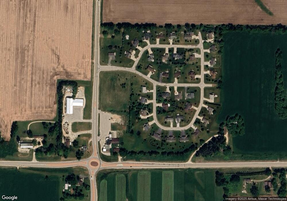
Map
Nearby Homes
- Lt2 Rolling Hills Dr
- N4120 County Road P
- Lt2 Grant Rd
- W1974 Pond Rd
- W1555 County Road Nn
- W1517 Woodland Rd
- 222 E Lehman St
- 947 Broadmoore Dr Unit 1702
- 835 Bridlewood Dr
- 1762 Conestoga Ct
- 820 W Sumner St
- 1783 Saddle Dr
- 792 Skypark Dr
- 754 Bridlewood Dr
- 844 Oak Ridge Cir
- 715 Willow Ln
- 427 Pine St
- 325 Sunset Dr
- 630 Forest St
- 229 Russell Ave
- W1203 High Pointe Cir
- W1197 High Pointe Cir
- Lt2 Rolling Hills Dr Unit Lt3
- Lt2/Lt3 Rolling Hills Dr
- Lt3 Rolling Hills Dr Unit Lt3
- 0 Rolling Hills Dr
- W1198 High Pointe Cir
- W1195 High Pointe Cir
- W1188 High Pointe Cir
- W1210 Rolling Hills Dr
- W1198 Rolling Hills Dr
- W1189 Rolling Hills Dr
- W1193 High Pointe Cir
- W1191 High Pointe Cir
- W1186 High Pointe Cir
- W1205 High Pointe Dr
- W1190 Rolling Hills Dr
- W1176 High Pointe Cir
- W1189 High Pointe Cir
- W1224 High Pointe Dr