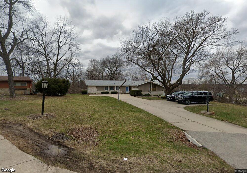
W126S6377 Coleridge Ct Muskego, WI 53150
Estimated Value: $446,000 - $540,000
3
Beds
2
Baths
1,484
Sq Ft
$325/Sq Ft
Est. Value
About This Home
This home is located at W126S6377 Coleridge Ct, Muskego, WI 53150 and is currently estimated at $482,722, approximately $325 per square foot. W126S6377 Coleridge Ct is a home located in Waukesha County with nearby schools including Bay Lane Elementary School, Lake Denoon Middle School, and Creative and Performing Arts.
Ownership History
Date
Name
Owned For
Owner Type
Purchase Details
Closed on
Nov 17, 2010
Sold by
Estate Of George N Kolich
Bought by
Kutzner Clifford H and Kutzner Jo L
Current Estimated Value
Home Financials for this Owner
Home Financials are based on the most recent Mortgage that was taken out on this home.
Original Mortgage
$149,600
Outstanding Balance
$98,452
Interest Rate
4.22%
Mortgage Type
New Conventional
Estimated Equity
$384,270
Purchase Details
Closed on
Aug 18, 1997
Sold by
Cain James E and Cain Elaine K
Bought by
Kolich George N
Home Financials for this Owner
Home Financials are based on the most recent Mortgage that was taken out on this home.
Original Mortgage
$50,000
Interest Rate
7.56%
Create a Home Valuation Report for This Property
The Home Valuation Report is an in-depth analysis detailing your home's value as well as a comparison with similar homes in the area
Home Values in the Area
Average Home Value in this Area
Purchase History
| Date | Buyer | Sale Price | Title Company |
|---|---|---|---|
| Kutzner Clifford H | $187,000 | None Available | |
| Kolich George N | $187,000 | -- |
Source: Public Records
Mortgage History
| Date | Status | Borrower | Loan Amount |
|---|---|---|---|
| Open | Kutzner Clifford H | $149,600 | |
| Previous Owner | Kolich George N | $50,000 |
Source: Public Records
Tax History Compared to Growth
Tax History
| Year | Tax Paid | Tax Assessment Tax Assessment Total Assessment is a certain percentage of the fair market value that is determined by local assessors to be the total taxable value of land and additions on the property. | Land | Improvement |
|---|---|---|---|---|
| 2024 | $3,638 | $320,500 | $76,000 | $244,500 |
| 2023 | $3,589 | $320,500 | $76,000 | $244,500 |
| 2022 | $3,507 | $320,500 | $76,000 | $244,500 |
| 2021 | $3,475 | $320,500 | $76,000 | $244,500 |
| 2020 | $3,504 | $254,100 | $66,500 | $187,600 |
| 2019 | $3,473 | $254,100 | $66,500 | $187,600 |
| 2018 | $3,514 | $254,100 | $66,500 | $187,600 |
| 2017 | $3,511 | $254,100 | $66,500 | $187,600 |
| 2016 | $3,430 | $221,200 | $63,800 | $157,400 |
| 2015 | $3,467 | $221,200 | $63,800 | $157,400 |
| 2014 | $3,774 | $221,200 | $63,800 | $157,400 |
| 2013 | $3,774 | $221,200 | $63,800 | $157,400 |
Source: Public Records
Map
Nearby Homes
- 6180 Preston Ln
- 11931 W Janesville Rd
- W137S6834 Dunstan Ct
- Lt17 W Old Farm Rd
- 5701 S 121st St
- 11310 Haleco Ln
- 13615 W Deer Park Dr
- Lt8 Twin Silos Ct
- W140S6982 Twin Silos Ct
- 11216 Bridget Ln
- 12230 W Grange Ave
- Lt10 Norbert Ct
- 5622 S Fox Tail Ct
- 5310 S Nicolet Dr
- 6749 S Prairie Wood Ln
- 6741 S Prairie Wood Ln
- 7084 S Fieldstone Ct Unit 43
- 10464 W Whitnall Edge Dr Unit 203
- 5380 S 116th St
- 5315 S Maryknoll Dr
- W126S6391 Coleridge Ct
- S63W12753 Emerson Dr
- S63W12711 Emerson Dr
- S63W12787 Emerson Dr
- W126S6396 Coleridge Ct
- S63W12823 Emerson Dr
- W126S6384 Coleridge Ct
- S63W12710 Emerson Dr
- S64W12758 Tennyson Ln
- S63W12740 Emerson Dr
- S64W12720 Tennyson Ln
- S63W12772 Emerson Dr
- S63W12820 Emerson Dr
- W128S6402 Berger Ln
- S64W12800 Tennyson Ln
- W126S6370 Coleridge Ct
- S63W12861 Emerson Dr
- W128S6390 Berger Ln
- S64W12622 Tennyson Ln
- S63W12609 Emerson Dr