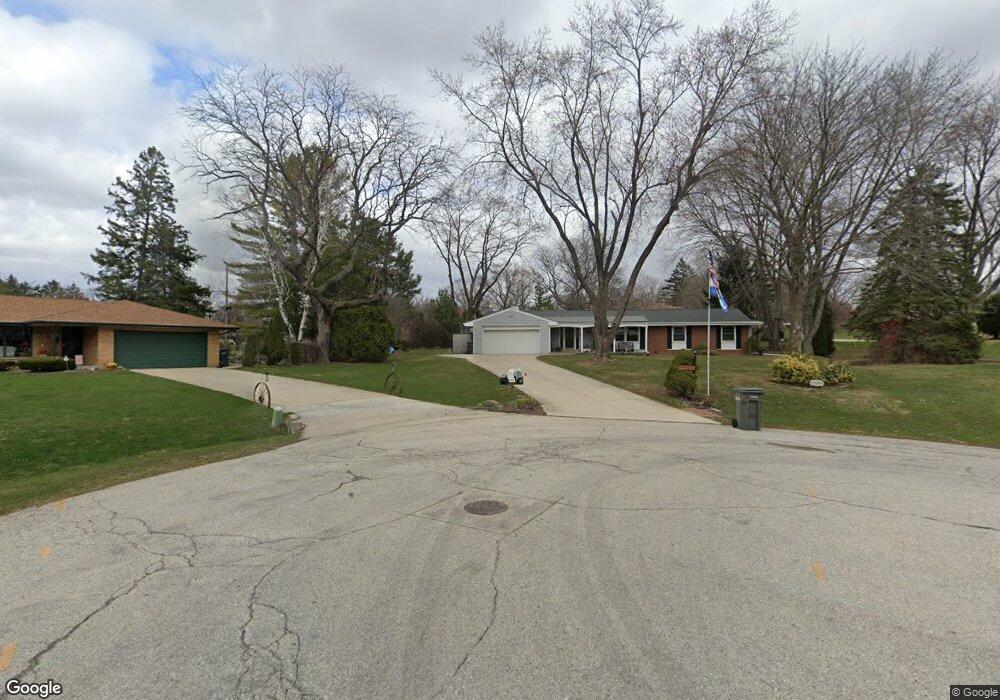
W130S6632 Somerset Ct Muskego, WI 53150
Estimated Value: $385,690 - $412,000
3
Beds
2
Baths
1,632
Sq Ft
$246/Sq Ft
Est. Value
About This Home
This home is located at W130S6632 Somerset Ct, Muskego, WI 53150 and is currently estimated at $401,173, approximately $245 per square foot. W130S6632 Somerset Ct is a home located in Waukesha County with nearby schools including Bay Lane Elementary School, Lake Denoon Middle School, and Creative and Performing Arts.
Ownership History
Date
Name
Owned For
Owner Type
Purchase Details
Closed on
Dec 16, 1998
Sold by
Strnad Gary L and Strnad Patricia D
Bought by
Brandt David A and Brandt Karen J
Current Estimated Value
Home Financials for this Owner
Home Financials are based on the most recent Mortgage that was taken out on this home.
Original Mortgage
$118,900
Interest Rate
6.78%
Create a Home Valuation Report for This Property
The Home Valuation Report is an in-depth analysis detailing your home's value as well as a comparison with similar homes in the area
Home Values in the Area
Average Home Value in this Area
Purchase History
| Date | Buyer | Sale Price | Title Company |
|---|---|---|---|
| Brandt David A | $148,900 | -- |
Source: Public Records
Mortgage History
| Date | Status | Borrower | Loan Amount |
|---|---|---|---|
| Previous Owner | Brandt David A | $118,900 |
Source: Public Records
Tax History Compared to Growth
Tax History
| Year | Tax Paid | Tax Assessment Tax Assessment Total Assessment is a certain percentage of the fair market value that is determined by local assessors to be the total taxable value of land and additions on the property. | Land | Improvement |
|---|---|---|---|---|
| 2024 | $3,016 | $268,900 | $74,800 | $194,100 |
| 2023 | $2,970 | $268,900 | $74,800 | $194,100 |
| 2022 | $2,906 | $268,900 | $74,800 | $194,100 |
| 2021 | $2,876 | $268,900 | $74,800 | $194,100 |
| 2020 | $3,110 | $227,100 | $65,400 | $161,700 |
| 2019 | $3,079 | $227,100 | $65,400 | $161,700 |
| 2018 | $3,118 | $227,100 | $65,400 | $161,700 |
| 2017 | $3,119 | $227,100 | $65,400 | $161,700 |
| 2016 | $3,107 | $201,500 | $62,700 | $138,800 |
| 2015 | $3,142 | $201,500 | $62,700 | $138,800 |
| 2014 | $3,420 | $201,500 | $62,700 | $138,800 |
| 2013 | $3,420 | $201,500 | $62,700 | $138,800 |
Source: Public Records
Map
Nearby Homes
- 6180 Preston Ln
- W137S6834 Dunstan Ct
- Lt8 Twin Silos Ct
- W140S6982 Twin Silos Ct
- Lt17 W Old Farm Rd
- 11931 W Janesville Rd
- 13615 W Deer Park Dr
- 5701 S 121st St
- 11310 Haleco Ln
- Lt10 Norbert Ct
- S70W14872 Dartmouth Cir
- 5622 S Fox Tail Ct
- 11216 Bridget Ln
- W142S7571 Freedom Ave
- 7084 S Fieldstone Ct Unit 43
- 12230 W Grange Ave
- 11470 W Tess Creek St
- 11532 W Tess Creek St
- 6749 S Prairie Wood Ln
- 6741 S Prairie Wood Ln
- W130S6646 Somerset Ct
- W130S6630 Somerset Ct
- W129S6623 Somerset Cir
- W129S6643 Somerset Cir
- W130S6631 Somerset Ct
- S65W13037 Longfellow Ln
- S66W12975 Somerset Dr
- S65W12963 Longfellow Ln
- W130S6645 Somerset Dr
- W129S6622 Somerset Cir
- S65W13065 Longfellow Ln
- S66W13005 Somerset Dr
- S66W12937 Somerset Dr
- S65W12931 Longfellow Ln
- S66W13047 Somerset Dr
- W128S6648 Somerset Cir
- W128S6626 Somerset Cir
- W131S6620 Kipling Dr
- S65W13004 Longfellow Ln
- W131S6602 Kipling Dr